Hills of Britain and Ireland
OS Map of Hill of Wirren
Height: 678m / 2224ft • Prominence: 311m / 1020ft • Summit : no feature: 7m SSW of trig point • Trip reports (hill-bagging)

Hill of Wirren: the summit trig point
16-Apr-19 • Mumbles Head • flickr
scotland mountains grahams landscape 46962953724


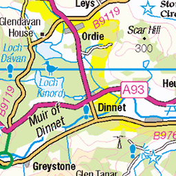
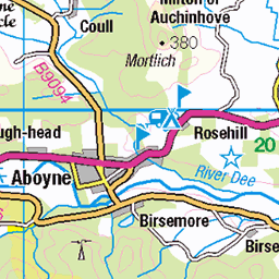
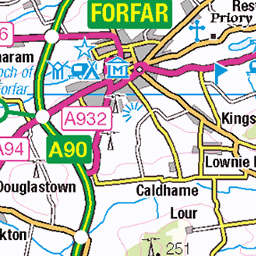
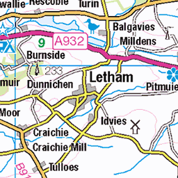
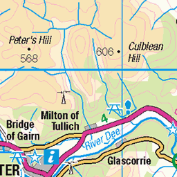
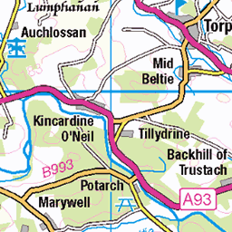
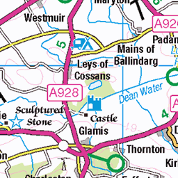
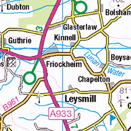
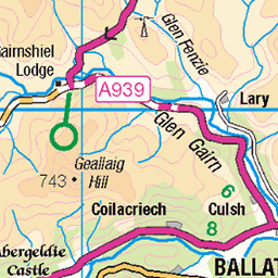
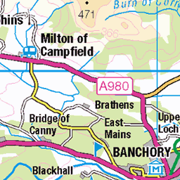
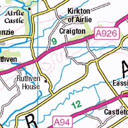
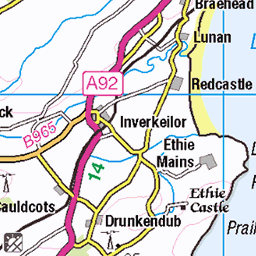
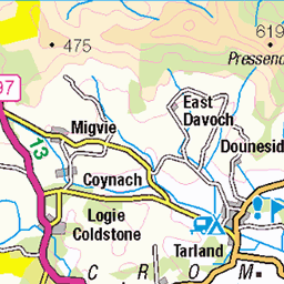
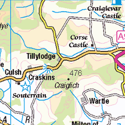
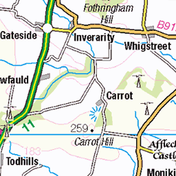
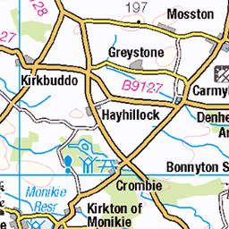
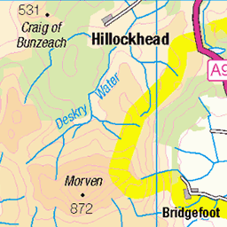
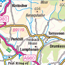
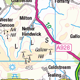
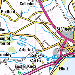
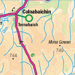
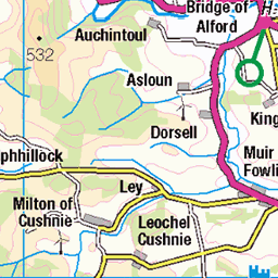
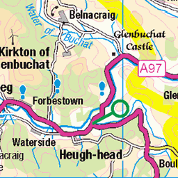
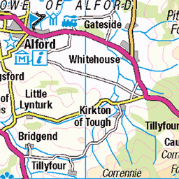
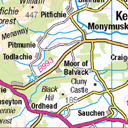
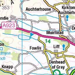
OS Map
This is OS mapping. In some areas, OpenStreetMap shows more footpaths
Spatial NI has online OSNI mapping. Click "Basemap Gallery" (4 squares icon at the top).
Now would be a good time for a cup of tea.


GPX Editor
Record map clicks
Reload map
Photos
Please tag your photos and upload them to the British and Irish Mountains group on Flickr
The other photos have been geo-tagged as on or around the summit. For less busy mountains, it can be a little hit and miss.
Hill of Wirren: the summit trig point
16-Apr-19 • Mumbles Head • flickr
scotland mountains grahams landscape 46962953724


Videos
A short picture video in the Angus Glens, starting at Edzell. A steady but sometimes steep climb up to and along the summits of the ...
It's been a while! We're back and bagging the Mighty Mount Keen via Glen Esk. Sometimes it's not about the view from the top but ...
Notes
- Data: Database of British and Irish Hills v18.2
- Maps: We use OS mapping for England, Scotland, Wales, and the Isle of Man. Sadly, Channel Islands, Northern (OSNI) and Southern Ireland (OSI) mapping isn't available online, so we use Openstreetmap.