Hills of Britain and Ireland
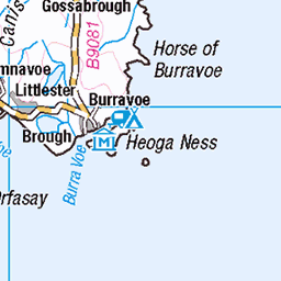
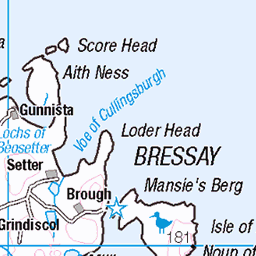
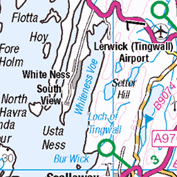
OS Map of Ward of Clett
Height: 122m / 400ft • Prominence: 122m / 400ft • Summit : knoll 75m NE of trig point • Trip reports (hill-bagging)


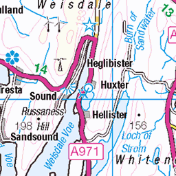
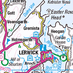
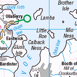
OS Map
This is OS mapping. In some areas, OpenStreetMap shows more footpaths
Spatial NI has online OSNI mapping. Click "Basemap Gallery" (4 squares icon at the top).
Now would be a good time for a cup of tea.


GPX Editor
Record map clicks
Reload map
Photos
Please tag your photos and upload them to the British and Irish Mountains group on Flickr
The other photos have been geo-tagged as on or around the summit. For less busy mountains, it can be a little hit and miss.


4922 Ward of Clett
Early morning bag with Tricky Speirs then on to bag the other trig and 3 other TuMPs. Name:Ward of Clett Hill number:4922 Height:120m / 394ft Area:22: Shetland Islands Class:Hu Grid ref:HU550615 (est) Drop:120m Col:Sea
01-Jun-13 • Dugswell2 • flickr
hump p120 whalsay shetlandislands wardofclett 9118018079
Videos
follow me on Instagram https://www.instagram.com/hiking_and_biking/ click below to save on your electricity and gas and get £50 ...
Notes
- Data: Database of British and Irish Hills v18.2
- Maps: We use OS mapping for England, Scotland, Wales, and the Isle of Man. Sadly, Channel Islands, Northern (OSNI) and Southern Ireland (OSI) mapping isn't available online, so we use Openstreetmap.