Hills of Britain and Ireland
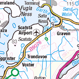
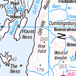
OS Map of Hill of Moustoft
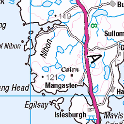
Height: 176m / 577ft • Prominence: 116m / 381ft • Summit : grass mound • Trip reports (hill-bagging)


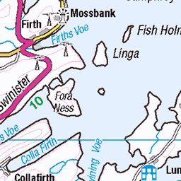
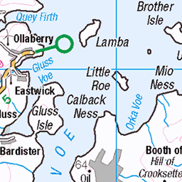
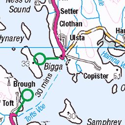
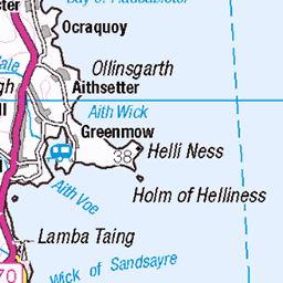
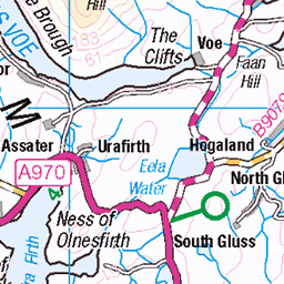
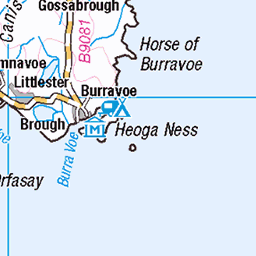
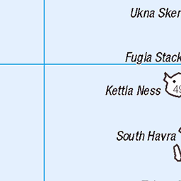
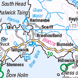
OS Map
This is OS mapping. In some areas, OpenStreetMap shows more footpaths
Spatial NI has online OSNI mapping. Click "Basemap Gallery" (4 squares icon at the top).
Now would be a good time for a cup of tea.


GPX Editor
Record map clicks
Reload map
Photos
Please tag your photos and upload them to the British and Irish Mountains group on Flickr
The other photos have been geo-tagged as on or around the summit. For less busy mountains, it can be a little hit and miss.

Kergord Books
First visit to the second hand bookshop.
13-Jan-22 • Life@60DegreesNorth • flickr
shetland bookshop kergord 51817319357

Weisdale Kirk IMG_1238
currently up for sale
04-Jan-21 • Ronnierob • flickr
weisdalekirk weisdale shetlandisles 50820441906


4913 Hill of Moustoft
Bagged with Tricky Speirs from the east.
31-May-13 • Dugswell2 • flickr
hump shetlandislands p116 hillofmoustoft 9118771814

4913 Hill of Moustoft 1
Name:Hill of Moustoft Hill number:4913 Height:176m / 577ft Area:22: Shetland Islands Class:Hu Grid ref:HU400521 (est) Drop:116m Col:60m HU405541
31-May-13 • Dugswell2 • flickr
hump shetlandislands p116 hillofmoustoft 9116553785
Videos
None found
Notes
- Data: Database of British and Irish Hills v18.2
- Maps: We use OS mapping for England, Scotland, Wales, and the Isle of Man. Sadly, Channel Islands, Northern (OSNI) and Southern Ireland (OSI) mapping isn't available online, so we use Openstreetmap.