Hills of Britain and Ireland
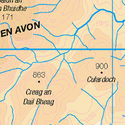
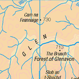
OS Map of Cairn of Claise
Height: 1063m / 3488ft • Prominence: 119m / 390ft • Summit : cairn on rocky knoll • Trip reports (hill-bagging)

Tolmount 958m (3143ft) & Tom Buidhe 957m (3139ft) via Glas Maol 1068m (3504ft) and Cairn of Claise 1064m (3490ft) and back.
Munro & Corbett bagging from Braemar Easter 2023
08-Apr-23 • Phil + Heather • flickr
wml munros corbetts easter 2023 braemar scotland 52824414889

Upland Plains
Leaving the bike far behind on the track, I've to strike out across unpathed marshy grasslands. I've been going over 30 minutes now since leaving the bike, but as I top a rise Tom Buidhe (on the right) and Tolmount (on the left) hove into view. We've still got over a mile before we reach the first summit so it's time to move. Tom Buidhe (pronounced Towm Boo-ee-ya) and translates as 'The Yellow Hill', is my 20th Munro and stands at 957 meters (3139 feet). Tolmount bizarrely translates from Gaelic as 'Uncertain', but it is my 21st Munro, and stands at 958 meters (3143 feet). The day sees me covering 18 miles by bike & hike so what I AM certain of is, it's going to be epic and it's going to hurt.
07-Aug-22 • steve_whitmarsh • flickr
aberdeenshire scotland scottishhighlands highlands mountain hills glen tolmount tombuidhe topic rockpaper abigfave 52344628866

Upland Lochan I
As I'm traversing the grasslands to regain the bike on my return from Tom Buidhe & Tolmount, I come across this beautiful lochan (small loch or pond), looking tranquil in the high Scottish Highlands. Tom Buidhe (pronounced Towm Boo-ee-ya) and translates as 'The Yellow Hill', is my 20th Munro and stands at 957 meters (3139 feet). Tolmount bizarrely translates from Gaelic as 'Uncertain', but it is my 21st Munro, and stands at 958 meters (3143 feet). The day sees me covering 18 miles by bike & hike so what I AM certain of is, it's going to be epic and it's going to hurt.
07-Aug-22 • steve_whitmarsh • flickr
aberdeenshire scotland scottishhighlands highlands mountain hills glen water lochan pond topic 52358086942

Upland Lochan II
A little further on from the first lochan (a small loch or pond) high in the Scottish Highlands I come across another one, the blue water reflecting the sky above. Beyond we can see the summit of Càrn an t-Sagairt Mòr, to the right of that is Càrn a' Choire Bhòidheach, and just poking out to it's right is the summit of Broad Cairn. But it's no time to linger, the fatigue is really hitting me now and I have to regain the bike. Tom Buidhe (pronounced Towm Boo-ee-ya) and translates as 'The Yellow Hill', is my 20th Munro and stands at 957 meters (3139 feet). Tolmount bizarrely translates from Gaelic as 'Uncertain', but it is my 21st Munro, and stands at 958 meters (3143 feet). The day sees me covering 18 miles by bike & hike so what I AM certain of is, it's going to be epic and it's going to hurt.
07-Aug-22 • steve_whitmarsh • flickr
aberdeenshire scotland scottishhighlands highlands mountain hills glen water lochan pond topic 52359457780

A day in the hills
A magic walk away from it all.
28-Apr-21 • We travel the Spaceways • flickr
51147152564

Heading towards Glas Maol
This was our sandwich spot today. A warm brew was very much needed.
28-Apr-21 • We travel the Spaceways • flickr
51146367391
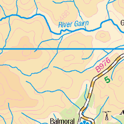
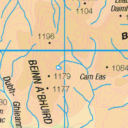
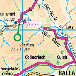
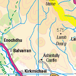
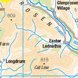
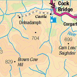
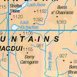
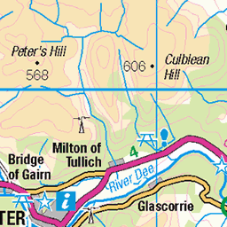
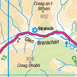
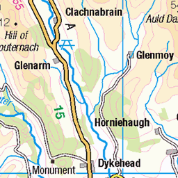
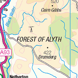
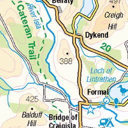
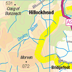
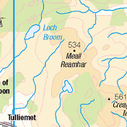
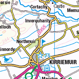
OS Map
This is OS mapping. In some areas, OpenStreetMap shows more footpaths
Spatial NI has online OSNI mapping. Click "Basemap Gallery" (4 squares icon at the top).
Now would be a good time for a cup of tea.

GPX Editor
Record map clicks
Reload map
Photos
Please tag your photos and upload them to the British and Irish Mountains group on Flickr
The other photos have been geo-tagged as on or around the summit. For less busy mountains, it can be a little hit and miss.
Tolmount 958m (3143ft) & Tom Buidhe 957m (3139ft) via Glas Maol 1068m (3504ft) and Cairn of Claise 1064m (3490ft) and back.
Munro & Corbett bagging from Braemar Easter 2023
08-Apr-23 • Phil + Heather • flickr
wml munros corbetts easter 2023 braemar scotland 52824414889
Upland Plains
Leaving the bike far behind on the track, I've to strike out across unpathed marshy grasslands. I've been going over 30 minutes now since leaving the bike, but as I top a rise Tom Buidhe (on the right) and Tolmount (on the left) hove into view. We've still got over a mile before we reach the first summit so it's time to move. Tom Buidhe (pronounced Towm Boo-ee-ya) and translates as 'The Yellow Hill', is my 20th Munro and stands at 957 meters (3139 feet). Tolmount bizarrely translates from Gaelic as 'Uncertain', but it is my 21st Munro, and stands at 958 meters (3143 feet). The day sees me covering 18 miles by bike & hike so what I AM certain of is, it's going to be epic and it's going to hurt.
07-Aug-22 • steve_whitmarsh • flickr
aberdeenshire scotland scottishhighlands highlands mountain hills glen tolmount tombuidhe topic rockpaper abigfave 52344628866
Upland Lochan I
As I'm traversing the grasslands to regain the bike on my return from Tom Buidhe & Tolmount, I come across this beautiful lochan (small loch or pond), looking tranquil in the high Scottish Highlands. Tom Buidhe (pronounced Towm Boo-ee-ya) and translates as 'The Yellow Hill', is my 20th Munro and stands at 957 meters (3139 feet). Tolmount bizarrely translates from Gaelic as 'Uncertain', but it is my 21st Munro, and stands at 958 meters (3143 feet). The day sees me covering 18 miles by bike & hike so what I AM certain of is, it's going to be epic and it's going to hurt.
07-Aug-22 • steve_whitmarsh • flickr
aberdeenshire scotland scottishhighlands highlands mountain hills glen water lochan pond topic 52358086942
Upland Lochan II
A little further on from the first lochan (a small loch or pond) high in the Scottish Highlands I come across another one, the blue water reflecting the sky above. Beyond we can see the summit of Càrn an t-Sagairt Mòr, to the right of that is Càrn a' Choire Bhòidheach, and just poking out to it's right is the summit of Broad Cairn. But it's no time to linger, the fatigue is really hitting me now and I have to regain the bike. Tom Buidhe (pronounced Towm Boo-ee-ya) and translates as 'The Yellow Hill', is my 20th Munro and stands at 957 meters (3139 feet). Tolmount bizarrely translates from Gaelic as 'Uncertain', but it is my 21st Munro, and stands at 958 meters (3143 feet). The day sees me covering 18 miles by bike & hike so what I AM certain of is, it's going to be epic and it's going to hurt.
07-Aug-22 • steve_whitmarsh • flickr
aberdeenshire scotland scottishhighlands highlands mountain hills glen water lochan pond topic 52359457780
A day in the hills
A magic walk away from it all.
28-Apr-21 • We travel the Spaceways • flickr
51147152564
Heading towards Glas Maol
This was our sandwich spot today. A warm brew was very much needed.
28-Apr-21 • We travel the Spaceways • flickr
51146367391


Coire Loch Kander
Looking down into Coire Loch Kander (loch out of sight around to the right) with Glen Callander beyond.
02-Oct-18 • OutdoorMonkey • flickr
themounth mounth cairngorms scotland moor moorland wild wilderness remote outside outdoor rural nature natural countryside scenic scenery glencallater coirelochkander mountain mountainside hill hillside shadow 50394561401

photo
A view from the rocky slopes near the summit of Cairn of Claise across to neighbouring munro peak Glas Maol, both just east of the Glenshee ski centre in the Cairngorms. I wish I could convey the wind that was also blowing on this day. I've never walked in anything like it.
02-Oct-18 • OutdoorMonkey • flickr
cairngorms glasmaol cairnofclaise mountain mountains mountaintops hills hillside rock stone boulder bluesky outside outdoor nature natural scenic scenery landscape walk hike wall 45369967121

Summit and Boundary
The summit Cairn of the Munro Cairn of Claise and the wall which marked the old county boundary. This bike trip takes me to the summits of two Munro's, Carn an Tuirc & Cairn of Claise. Carn an Tuirc is at a height of 1018 meters (3339 feet), while Cairn of Claise is sightly higher at 1062 meters (3484 feet). It took me four hours to drag myself (and my bike) up there, but because of the bike, it took less than an hour to get back to the car. Total distance covered was 26.5 kilometers (16.5 miles) and starting at 370 meters, I had an altitude gain of over 700 meters (2296+ feet) - that was a big one!!
18-Aug-18 • steve_whitmarsh • flickr
aberdeenshire scotland scottishhighlands highlands mountain hills munro rocks summit cairnofclaise cairn wall bw blackandwhite monochrome topic 43078972630
Videos
Hitting another couple of munros; Carn an Tuirc & Cairn of Claise at Glenshee. MUSIC Song: Pizza and Video Games Artist: ...
scotland #cairngorms #glenshee #haglofs #highland #hills #mountainequipment #munro #munrobagging #outdoors.
In today's video I will be doing the Glas Maol Circuit from the Glenshee Ski Center! This is a long hike in Scotlands Easterly ...
A video log of a day out in the Cairngorm Mountains in the Highlands of Scotland, bagging four Munros (mountains over 3000ft) ...
Notes
- Data: Database of British and Irish Hills v18.2
- Maps: We use OS mapping for England, Scotland, Wales, and the Isle of Man. Sadly, Channel Islands, Northern (OSNI) and Southern Ireland (OSI) mapping isn't available online, so we use Openstreetmap.