Hills of Britain and Ireland
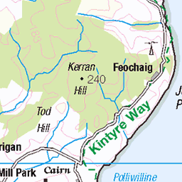
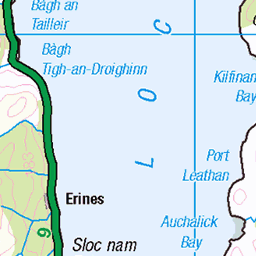
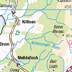
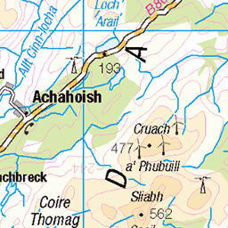
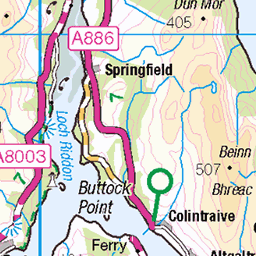
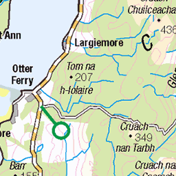
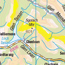
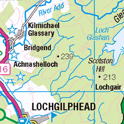
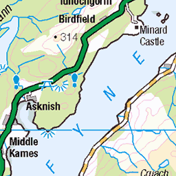
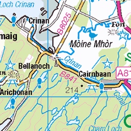
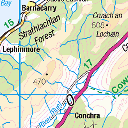
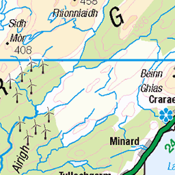
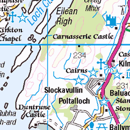
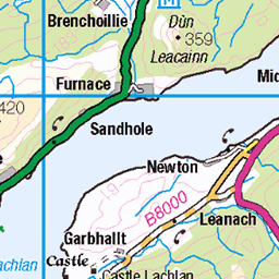
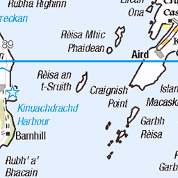
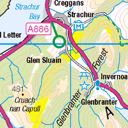
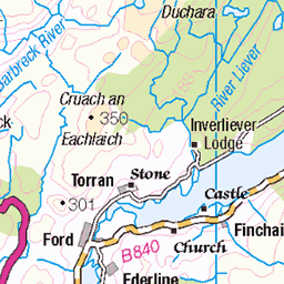
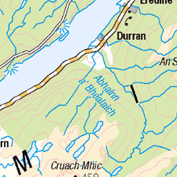
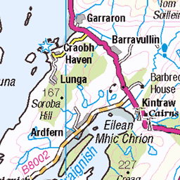
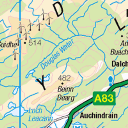
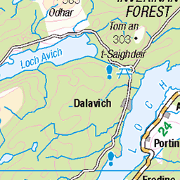
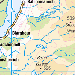
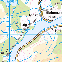
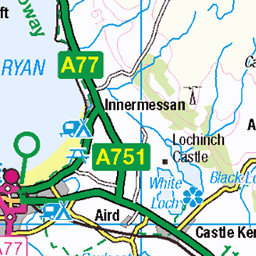
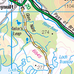
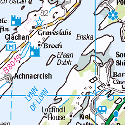
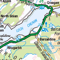
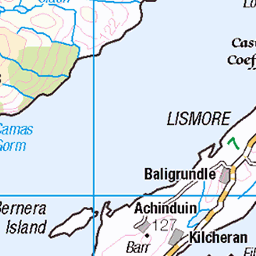
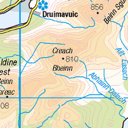
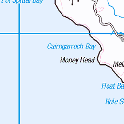
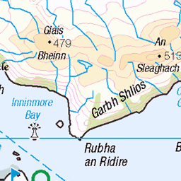
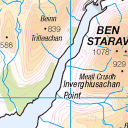
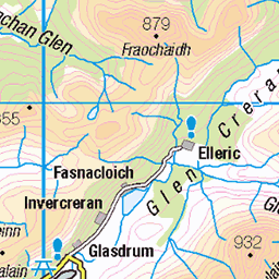
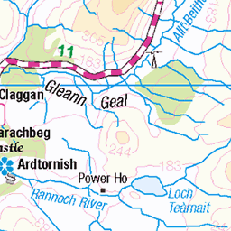
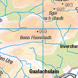
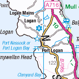
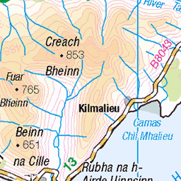
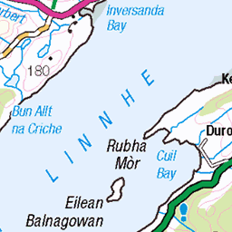
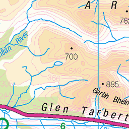
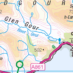
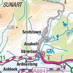
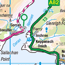
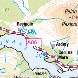
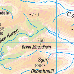
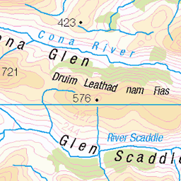
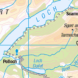
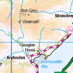
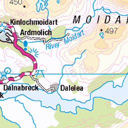
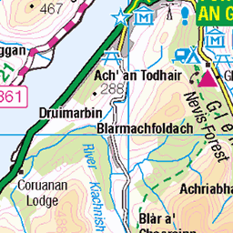
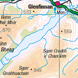
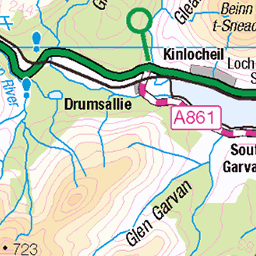
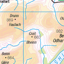
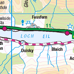
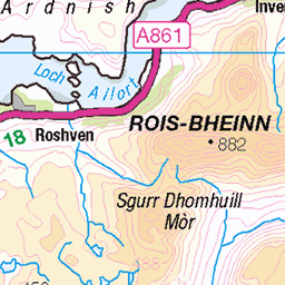
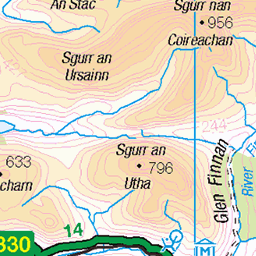
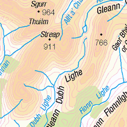
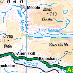
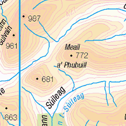
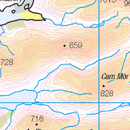
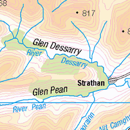
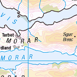
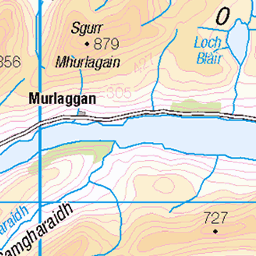
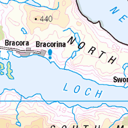
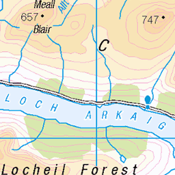
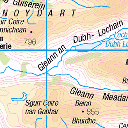
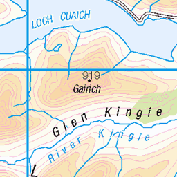
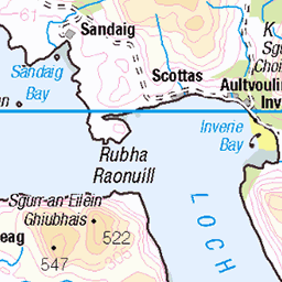
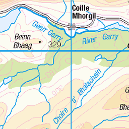
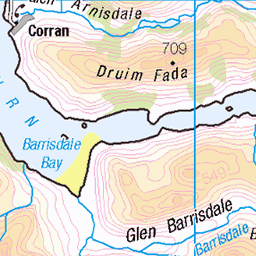
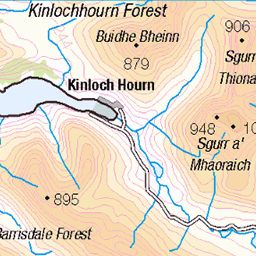
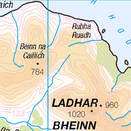
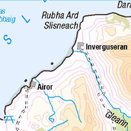
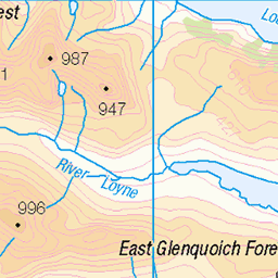
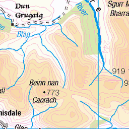
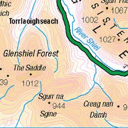
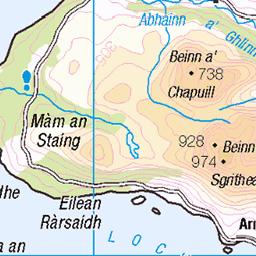
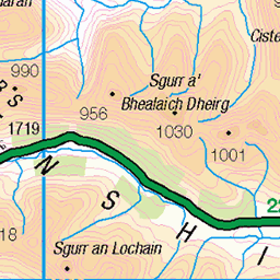
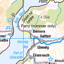
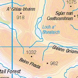
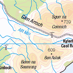
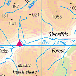
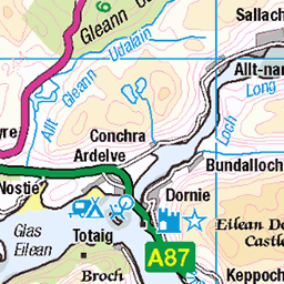
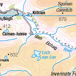
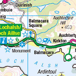
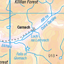
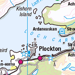
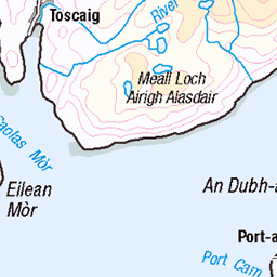
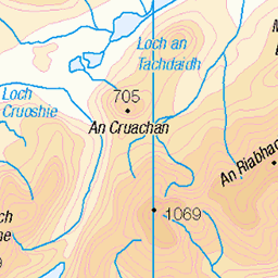
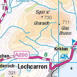
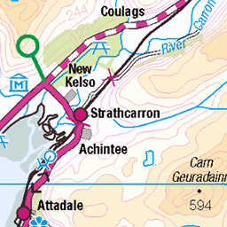
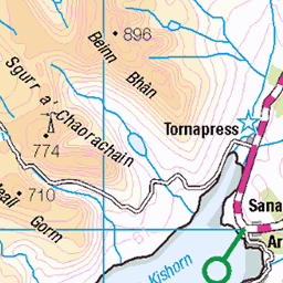
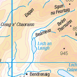
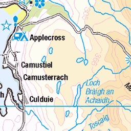
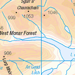
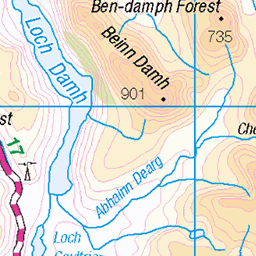
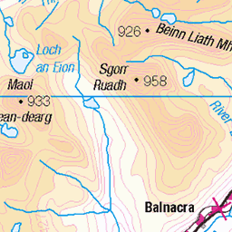
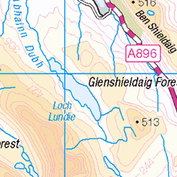
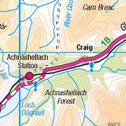
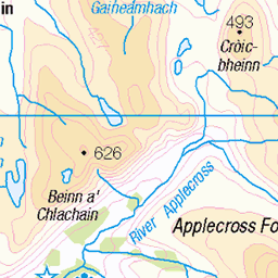
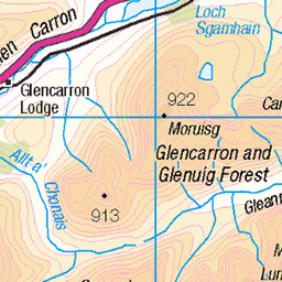
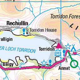
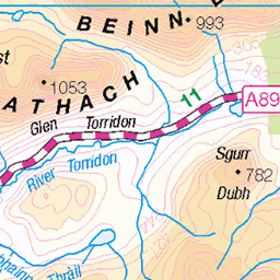
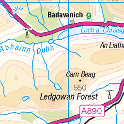
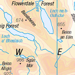
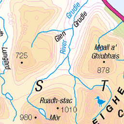
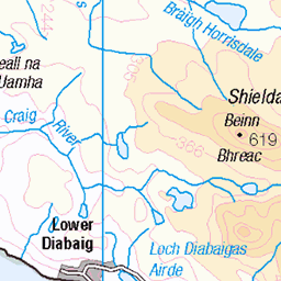
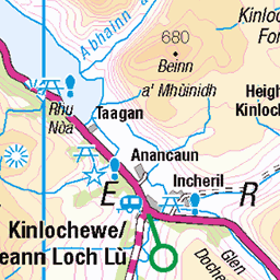
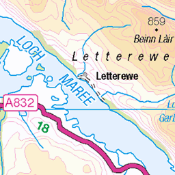
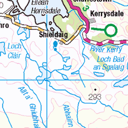
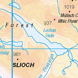
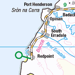
OS Map of Beinn Bhreac
Height: 712m / 2335ft • Prominence: 139m / 456ft • Summit : rock by cairn • Trip reports (hill-bagging)


Water slide!
11-Aug-18 • cams-not-in-lux • flickr
uk scotland isleofarran glencatacol hiking places arranhills 43992591261


Isle of Arran
Op weg naar Loch Tanna: zware tocht door kou, regen, wind, rotsen en drassige veengrond. Slechts 4 mijl maar "tough". Wel zeer mooi!
17-Jul-16 • Bartolomé • flickr
27753601003

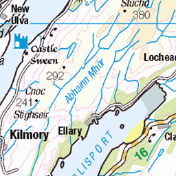
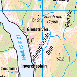
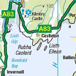
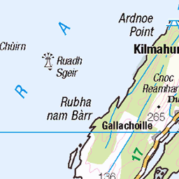
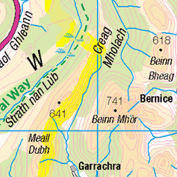
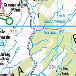
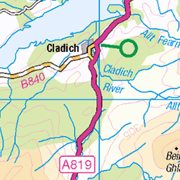
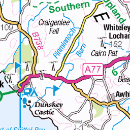
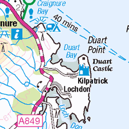
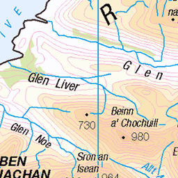
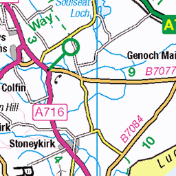
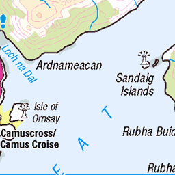
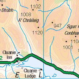
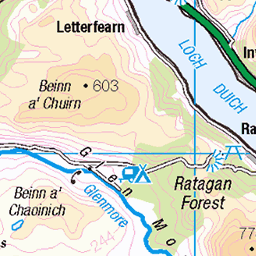
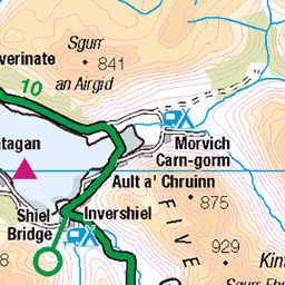
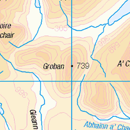
OS Map
This is OS mapping. In some areas, OpenStreetMap shows more footpaths
Spatial NI has online OSNI mapping. Click "Basemap Gallery" (4 squares icon at the top).
Now would be a good time for a cup of tea.


GPX Editor
Record map clicks
Reload map
Photos
Please tag your photos and upload them to the British and Irish Mountains group on Flickr
The other photos have been geo-tagged as on or around the summit. For less busy mountains, it can be a little hit and miss.
Water slide!
11-Aug-18 • cams-not-in-lux • flickr
uk scotland isleofarran glencatacol hiking places arranhills 43992591261
Isle of Arran
Op weg naar Loch Tanna: zware tocht door kou, regen, wind, rotsen en drassige veengrond. Slechts 4 mijl maar "tough". Wel zeer mooi!
17-Jul-16 • Bartolomé • flickr
27753601003

4545 Beinn Bhreac
A two car route started at Thunderguy then up path towards Coire Fhionn Lochan then off piste to Meall Bhig, Meall nan Damh, Meall Donn via path along ridge onwards to Beinn Bhreac, Beinn Bharrain and Casteal na-h-lolaire on a clear cool sunny day with Chris Watson. Name:Beinn Bhreac Hill number:4545 Height:711.6m / 2335ft Parent (Ma):1476 Beinn Bharrain - Mullach Buidhe Section:20C: Arran and Holy Island County/UA:North Ayrshire (UA) Maritime Area:Firth of Clyde to Mull of Kintyre Island:Arran Class:Hump, Simm, Graham Top Grid ref:NR 90697 44244 Summit feature:rock by cairn Drop:139.1m Col:572.5m NR 9092 4313 Survey:Abney level/Leica RX1250
22-Apr-16 • Dugswell2 • flickr
isleofarran hump simm tump beinnbhreac p1391 26694296554

4545 Beinn Bhreac a
22-Apr-16 • Dugswell2 • flickr
isleofarran hump simm tump beinnbhreac p1391 27204713402

4545 Beinn Bhreac b
22-Apr-16 • Dugswell2 • flickr
isleofarran hump simm tump beinnbhreac p1391 27026370040

4545 Beinn Bhreac c
22-Apr-16 • Dugswell2 • flickr
isleofarran hump simm tump beinnbhreac p1391 27204738142


Videos
None found
Notes
- Data: Database of British and Irish Hills v18.2
- Maps: We use OS mapping for England, Scotland, Wales, and the Isle of Man. Sadly, Channel Islands, Northern (OSNI) and Southern Ireland (OSI) mapping isn't available online, so we use Openstreetmap.