Hills of Britain and Ireland
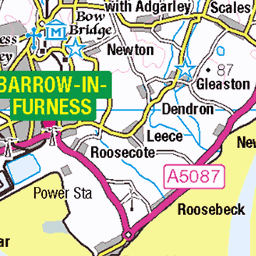
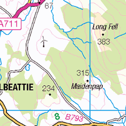
OS Map of Lank Rigg
Height: 541m / 1775ft • Prominence: 110m / 361ft • Summit : ground within 1m of trig point • Trip reports (hill-bagging)

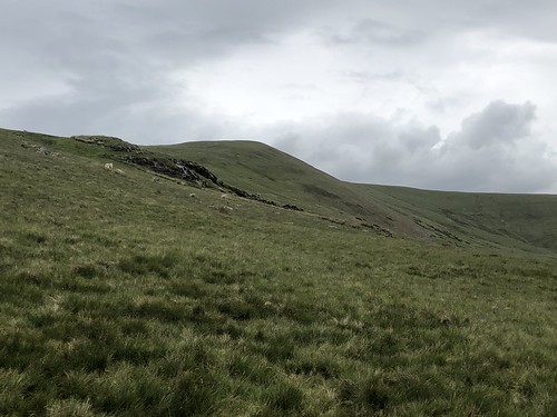
Ruins on Lank Rigg, with Black Combe in the distance
06-Jun-23 • colin9007 • flickr
cumbria lake district lank rigg black combe cumberland westmorland england uk 52954793642

Tarn on Lank Rigg
06-Jun-23 • colin9007 • flickr
cumbria lake district lank rigg cumberland westmorland england uk 52954794757


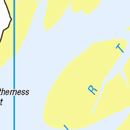
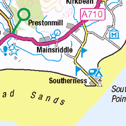
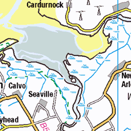
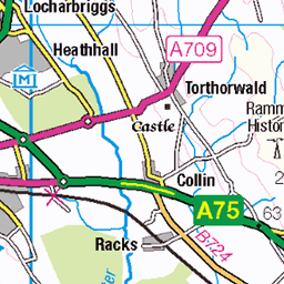
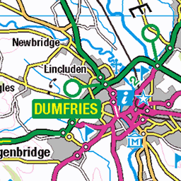
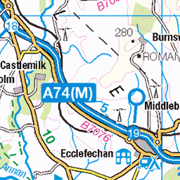
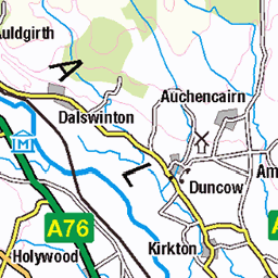
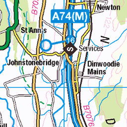
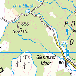
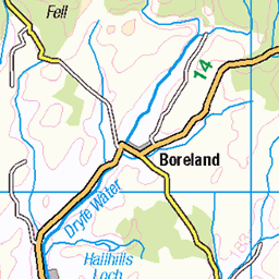
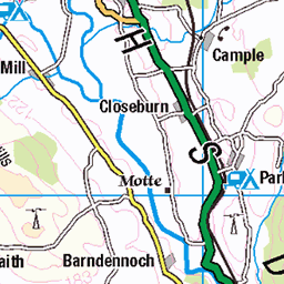
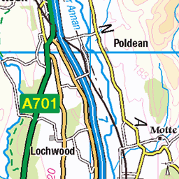
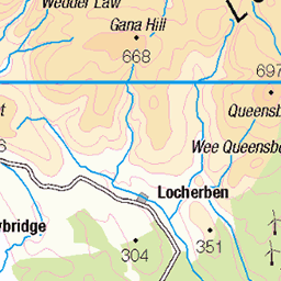
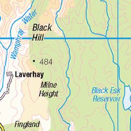
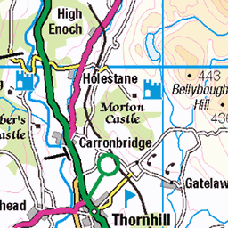
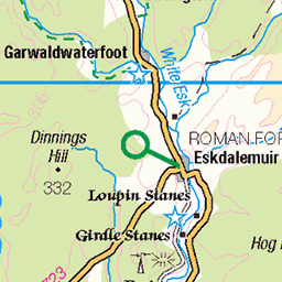
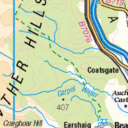
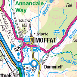
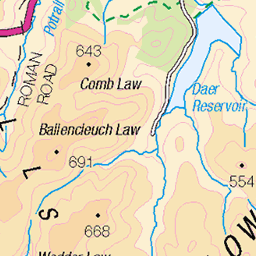
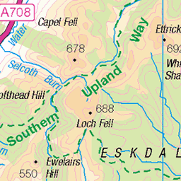
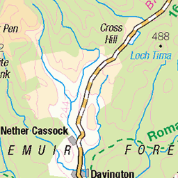
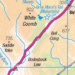
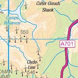
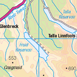
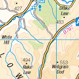
OS Map
This is OS mapping. In some areas, OpenStreetMap shows more footpaths
Spatial NI has online OSNI mapping. Click "Basemap Gallery" (4 squares icon at the top).
Now would be a good time for a cup of tea.


GPX Editor
Record map clicks
Reload map
Photos
Please tag your photos and upload them to the British and Irish Mountains group on Flickr
The other photos have been geo-tagged as on or around the summit. For less busy mountains, it can be a little hit and miss.
Ruins on Lank Rigg, with Black Combe in the distance
06-Jun-23 • colin9007 • flickr
cumbria lake district lank rigg black combe cumberland westmorland england uk 52954793642
Tarn on Lank Rigg
06-Jun-23 • colin9007 • flickr
cumbria lake district lank rigg cumberland westmorland england uk 52954794757


2471 Lank Rigg c
Name:Lank Rigg Hill number:2471 Height:541m / 1775ft Area:34B: Lake District - Central & Western Fells Class:Hu,5,W,B Grid ref:NY 09165 11956 Summit feature:ground within 1m of trig point Drop:111m Col:430m NY 0955 1230 OS map sheet(s):(1:50k) 89 (1:25k) 4S 303
01-Dec-12 • Dugswell2 • flickr
lakes wainwright dewey hump trig birkett p30 8242637628
Videos
This is a solo Lake District hike taking in the 3 Wainwrights Grike, Crag Fell and Lank Rigg in the Lake District If you enjoyed ...
Explore the stunning Western Fells of the Lake District in this epic hike, covering three Wainwrights—Grike, Crag Fell, and Lank ...
A hike to the summits of Grike, Crag Fell, and Lank Rigg in the far western fells of the Lake District. With spectacular views of ...
A great day out over the Lake District climbing the three most Westerly Wainwrights, Grike, Crag Fell & Lank Rigg, all brand new ...
Notes
- Data: Database of British and Irish Hills v18.2
- Maps: We use OS mapping for England, Scotland, Wales, and the Isle of Man. Sadly, Channel Islands, Northern (OSNI) and Southern Ireland (OSI) mapping isn't available online, so we use Openstreetmap.