Hills of Britain and Ireland
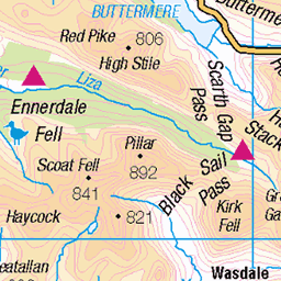
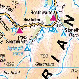
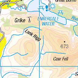
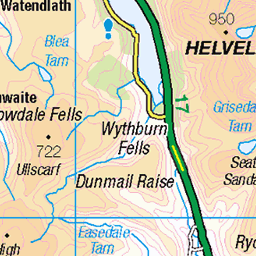
OS Map of Knott Rigg
Height: 556m / 1824ft • Prominence: 53m / 174ft • Summit : ground 1m W of small pile of stones • Trip reports (hill-bagging)


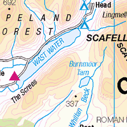
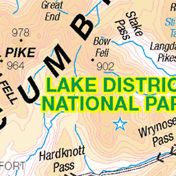
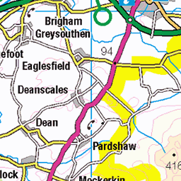
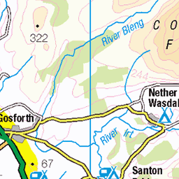
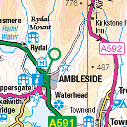
OS Map
This is OS mapping. In some areas, OpenStreetMap shows more footpaths
Spatial NI has online OSNI mapping. Click "Basemap Gallery" (4 squares icon at the top).
Now would be a good time for a cup of tea.


GPX Editor
Record map clicks
Reload map
Photos
Please tag your photos and upload them to the British and Irish Mountains group on Flickr
The other photos have been geo-tagged as on or around the summit. For less busy mountains, it can be a little hit and miss.


Moss Force.
A series of cascades dropping almost three hundred feet. Not an organised site no money changes hands and if measured top to bottom the longest falls in the Lakes. Taken from Newlands Hause, a pleasant place to park before dropping down to Buttermere or Keswick.
31-Mar-16 • greengrocer48 • flickr
mossforce waterfall cumbria england lakedistrict 54299352643

Moss Force Waterfall
Moss Force Waterfall, Cumbria, England - 13th November, 2015
13-Nov-15 • Future-Echoes • flickr
4star flowing 2015 waterfall cumbria thelakedistrict rock mossforcewaterfall rocks water 54163195052

Moss Force Waterfall
Moss Force Waterfall, Cumbria, England - 13th November, 2015
13-Nov-15 • Future-Echoes • flickr
4star 2015 waterfall cumbria thelakedistrict rock mossforcewaterfall water 54239626689
Videos
A hike up the two Wainwrights above Newlands Pass...Knott Rigg and Ard Crags. Fantastic weather on this short walk. Thanks for ...
GPX Download Of Route... https://drive.google.com/file/d/1_QlhsShJGlGxe0muFooGzHLrqc4B0oy7/view?usp=drivesdk The North ...
A walk up the fell of Knott Rigg, near Keswick in the Lake District of Cumbria in England. Filmed on an iPhone 11 Pro Max during ...
GPX Download Of Route https://drive.google.com/file/d/1KVLcPiSlx3L8xrmwI5GQy5E1xDv3vLvI/view?usp=drivesdk Another ...
Notes
- Data: Database of British and Irish Hills v18.2
- Maps: We use OS mapping for England, Scotland, Wales, and the Isle of Man. Sadly, Channel Islands, Northern (OSNI) and Southern Ireland (OSI) mapping isn't available online, so we use Openstreetmap.