Hills of Britain and Ireland
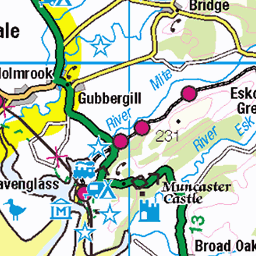
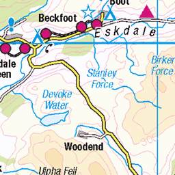
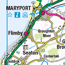
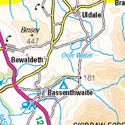
OS Map of Great Borne

Across Ennerdale Water from Bowness Knott to Crag Fell
04-Dec-23 • a.hill-psalm145 • flickr
ennerdale water bowness knott crag fell lake district cumbria 53435166884

On Bowness Knott
View over Ennerdale Water
04-Dec-23 • a.hill-psalm145 • flickr
bowness knott ennerdale water lake district cumbria tree 53376885128

Ennerdale, field and fell
22-Aug-23 • a.hill-psalm145 • flickr
ennerdale lane fields hillside fell trees cumbria lake district 53214612348

Crag Fell and Ennerdale Water
12-Apr-23 • colin9007 • flickr
ennerdale cumbria lake district crag fell cumberland westmorland england uk 52812552505

Pillar from Brown How, Ennerdale.
12-Apr-23 • colin9007 • flickr
ennerdale cumbria lake district pillar cumberland westmorland england uk 52812557010

Looking down Rake Beck to Bowness Knot and Ennerdale Water - I had just climbed up there from the lakeside!
12-Apr-23 • colin9007 • flickr
ennerdale cumbria lake district bowness knot great borne cumberland westmorland england uk 52812345649
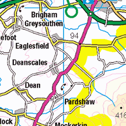
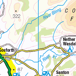
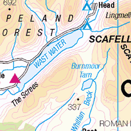
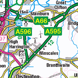
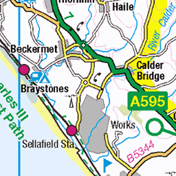
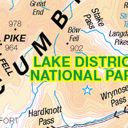
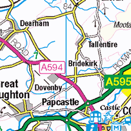
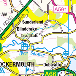
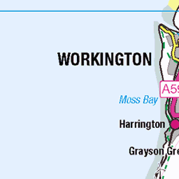
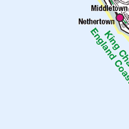
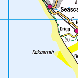
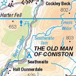
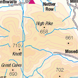
OS Map
This is OS mapping. In some areas, OpenStreetMap shows more footpaths
Spatial NI has online OSNI mapping. Click "Basemap Gallery" (4 squares icon at the top).
Now would be a good time for a cup of tea.


GPX Editor
Record map clicks
Reload map
Photos
Please tag your photos and upload them to the British and Irish Mountains group on Flickr
The other photos have been geo-tagged as on or around the summit. For less busy mountains, it can be a little hit and miss.
Across Ennerdale Water from Bowness Knott to Crag Fell
04-Dec-23 • a.hill-psalm145 • flickr
ennerdale water bowness knott crag fell lake district cumbria 53435166884
On Bowness Knott
View over Ennerdale Water
04-Dec-23 • a.hill-psalm145 • flickr
bowness knott ennerdale water lake district cumbria tree 53376885128
Ennerdale, field and fell
22-Aug-23 • a.hill-psalm145 • flickr
ennerdale lane fields hillside fell trees cumbria lake district 53214612348
Crag Fell and Ennerdale Water
12-Apr-23 • colin9007 • flickr
ennerdale cumbria lake district crag fell cumberland westmorland england uk 52812552505
Pillar from Brown How, Ennerdale.
12-Apr-23 • colin9007 • flickr
ennerdale cumbria lake district pillar cumberland westmorland england uk 52812557010
Looking down Rake Beck to Bowness Knot and Ennerdale Water - I had just climbed up there from the lakeside!
12-Apr-23 • colin9007 • flickr
ennerdale cumbria lake district bowness knot great borne cumberland westmorland england uk 52812345649

Great Borne in the snow
12-Apr-23 • colin9007 • flickr
ennerdale cumbria lake district great borne cumberland westmorland england uk 52812604903

Fence in the snow on Starling Dodd.
12-Apr-23 • colin9007 • flickr
ennerdale cumbria lake district starling dodd cumberland westmorland england uk 52812567865


2451 Great Borne trig
rock is 22m S of trig point (Wainwright's summit at NY 12392 16383) and 40cm higher than rock by trig point; rock is 12m S of windshelter (Birkett's summit at NY 12395 16373) and 10cm higher than its floor; Wainwright's 'north top' is lower
30-Nov-12 • Dugswell2 • flickr
lakes hump trig p30 8241414355

2451 Great Borne trig 1
After bagging Hen Comb by following path by fence on cool, clear and frosty morning.
30-Nov-12 • Dugswell2 • flickr
lakes trig p30 8242477784

2451 Great Borne
Name:Great Borne Hill number:2451 Height:616m / 2021ft Area:34B: Lake District - Central & Western Fells Class:Hu,Hew,N,W, B Grid ref:NY 12395 16361 Summit feature:rock Drop:113m Col:503m NY131163 OS map sheet(s):(1:50k) 89 (1:25k) 4S 303
30-Nov-12 • Dugswell2 • flickr
lakes hump p30 8241411713
Videos
A slow 360 panorama from the summit of Great Borne, in the Ennerdale region on the English Lake District. All main view points ...
Saturday was a good day! 21 kilometres from Ennerdale Water up to Great Borne, Starling Dodd then across to Mellbreak and ...
Fell walk from Ennerdale Water - Lake District.
So this week me (Hunter) and Koda decided to have a little wild camp over near Ennerdale water. The plan was to meet a couple ...
It was early summer when I headed off from Buttermere, Lake District,to collect three more Wainwright's: Great Borne, Starling ...
Notes
- Data: Database of British and Irish Hills v18.2
- Maps: We use OS mapping for England, Scotland, Wales, and the Isle of Man. Sadly, Channel Islands, Northern (OSNI) and Southern Ireland (OSI) mapping isn't available online, so we use Openstreetmap.