Hills of Britain and Ireland
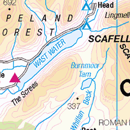
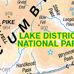
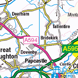
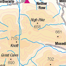
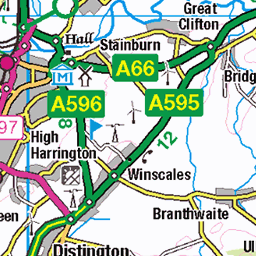
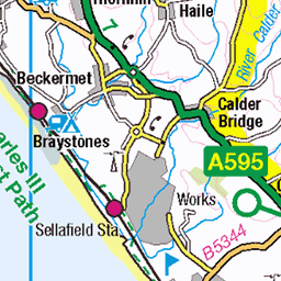
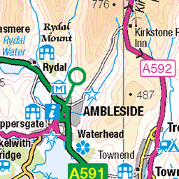
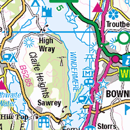
OS Map of High Spy
Height: 653m / 2143ft • Prominence: 148m / 486ft • Summit : large cairn • Trip reports (hill-bagging)


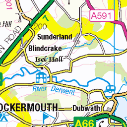
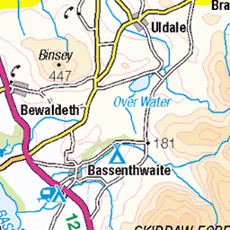
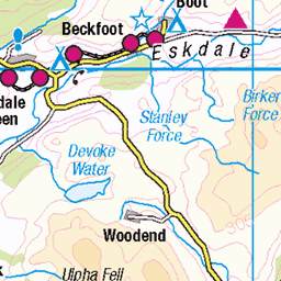
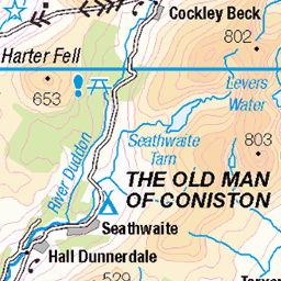
OS Map
This is OS mapping. In some areas, OpenStreetMap shows more footpaths
Spatial NI has online OSNI mapping. Click "Basemap Gallery" (4 squares icon at the top).
Now would be a good time for a cup of tea.


GPX Editor
Record map clicks
Reload map
Photos
Please tag your photos and upload them to the British and Irish Mountains group on Flickr
The other photos have been geo-tagged as on or around the summit. For less busy mountains, it can be a little hit and miss.


Passing Cloud on Dale Head
Pinhole Zero Image 45 Expired Kodak Tri-X December 2024
11-Jan-25 • Mark Rowell • flickr
pinhole zeroimage45 kodak trix dalehead highspy cumbria lakedistrict uk expired blackandwhite 4x5 5x4 largeformat bigil mountains cloud film 54402602845

Rosthwaite from Castle Crag.
Nearing the top of Castle Crag the path winds through the spoil from the old slate quarries. Just below the plume of smoke from Rosthwaite is the café that was mentioned in a previous picture, the Flock In. Just beyond this ancient lake bed Borrowdale splits into two valleys. Straight ahead is Langstrath dominated by the steep cliffs of Eagle Crag. To the right the road leads to Honister Pass and Buttermere.
28-Jan-09 • greengrocer48 • flickr
castlecrag rosthwaite eaglecrag langstrath borrowdale cumbria england lakedistrict village 54344050726
Videos
Catbells and the Newlands Ridge is one of the most popular circuits in the Lake District National Park. It is easy to see why with its ...
This was a stunning 10 mile walk, filled to the brim with awesome views and wild beauty, up the very popular Wainwright fells of ...
GPX Download Of Route https://drive.google.com/file/d/1w2hzJz61xMua4wz-W5bB9_ISzeDQ2Hdk/view?usp=drivesdk High Spy ...
Using two cars we left one at the base of Catbells and took the other to Honister Pass where we started our ascent of Dale Head.
In this video myself, Mike, Jay and Imran walked the Half Newlands Horseshoe in the Lake District National Park. First stop was ...
Notes
- Data: Database of British and Irish Hills v18.2
- Maps: We use OS mapping for England, Scotland, Wales, and the Isle of Man. Sadly, Channel Islands, Northern (OSNI) and Southern Ireland (OSI) mapping isn't available online, so we use Openstreetmap.