Hills of Britain and Ireland
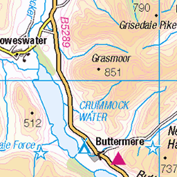
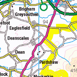
OS Map of High Crag (Buttermere)
Height: 745m / 2444ft • Prominence: 35m / 115ft • Summit : southerly of two cairns • Trip reports (hill-bagging)

20250131_140841412_iOS
Memorial bridge damaged by Storm Eowyn January 2025
31-Jan-25 • Wild Ennerdale • flickr
river liza bridge 54303987441


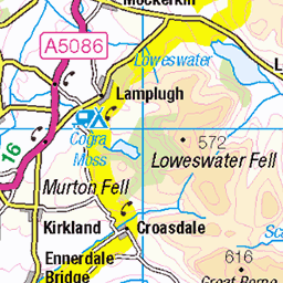
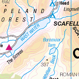
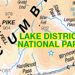
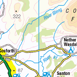
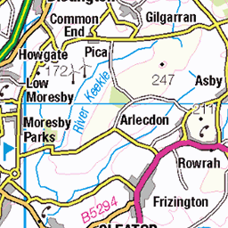
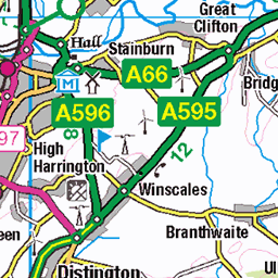
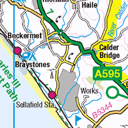
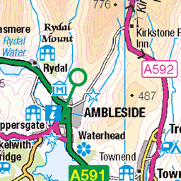
OS Map
This is OS mapping. In some areas, OpenStreetMap shows more footpaths
Spatial NI has online OSNI mapping. Click "Basemap Gallery" (4 squares icon at the top).
Now would be a good time for a cup of tea.


GPX Editor
Record map clicks
Reload map
Photos
Please tag your photos and upload them to the British and Irish Mountains group on Flickr
The other photos have been geo-tagged as on or around the summit. For less busy mountains, it can be a little hit and miss.
20250131_140841412_iOS
Memorial bridge damaged by Storm Eowyn January 2025
31-Jan-25 • Wild Ennerdale • flickr
river liza bridge 54303987441


Trees
21-Oct-21 • Matthew Margot • flickr
england europe unitedkingdom lakedistrict cockermouth 54349528122
Videos
In early June 2023, Neil returns to Buttermere, on a stunningly bright, dry, day, to do the Buttermere Fells (also known as the ...
What a route this is... we set off from Gatesgarth Farm under the scowl of thick cloud that cloaked the high tops. Not knowing what ...
Welcome to our video on a challenging all-day hike in Buttermere! In this video, we'll take you on a gruelling, yet rewarding hike ...
One of the toughest days hiking I have ever had in the Lakes! Climbing up to Bleaberry Tarn, along to Dodd, a tough scramble up ...
Cracking 11 Mile circular loop from Gatesgarth Farm along the shore line of Buttermere past Sourmilk Gill to Scale Force, up to ...
Notes
- Data: Database of British and Irish Hills v18.2
- Maps: We use OS mapping for England, Scotland, Wales, and the Isle of Man. Sadly, Channel Islands, Northern (OSNI) and Southern Ireland (OSI) mapping isn't available online, so we use Openstreetmap.