Hills of Britain and Ireland
OS Map of St. John's Hill (Caermote Hill N Top)

A591 - orienteering -- Wed 29 Dec 2021 11-05-51 GMT
29-Dec-21 • Dougie Nisbet • flickr
unitedkingdom cumbria england bewaldethandsnittlegarth bewaldeth northwestengland orienteering a591 51902918057

A591 - orienteering -- Wed 29 Dec 2021 11-05-54 GMT
29-Dec-21 • Dougie Nisbet • flickr
unitedkingdom cumbria england bewaldethandsnittlegarth bewaldeth northwestengland orienteering a591 51904204124

A591 - orienteering -- Wed 29 Dec 2021 11-06-11 GMT
29-Dec-21 • Dougie Nisbet • flickr
unitedkingdom cumbria england bewaldethandsnittlegarth bewaldeth northwestengland orienteering a591 51902917722

A591 - orienteering -- Wed 29 Dec 2021 11-06-13 GMT
29-Dec-21 • Dougie Nisbet • flickr
unitedkingdom cumbria england bewaldethandsnittlegarth bewaldeth northwestengland orienteering a591 51902917522

A591 - orienteering -- Wed 29 Dec 2021 11-10-24 GMT
29-Dec-21 • Dougie Nisbet • flickr
unitedkingdom cumbria england bewaldethandsnittlegarth bewaldeth northwestengland orienteering a591 51903967818

A591 - orienteering -- Wed 29 Dec 2021 11-10-29 GMT
29-Dec-21 • Dougie Nisbet • flickr
unitedkingdom cumbria england bewaldethandsnittlegarth bewaldeth northwestengland orienteering a591 51903967623
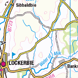
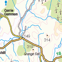
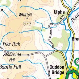
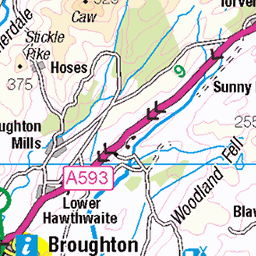
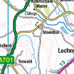
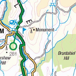
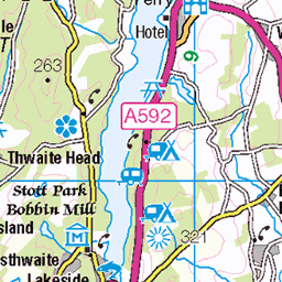
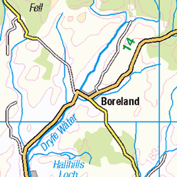
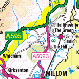
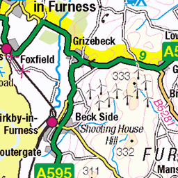
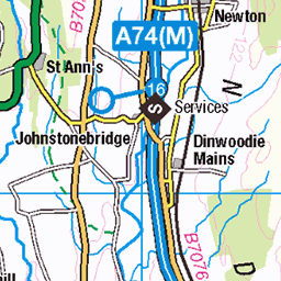
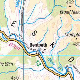
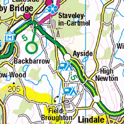
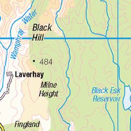
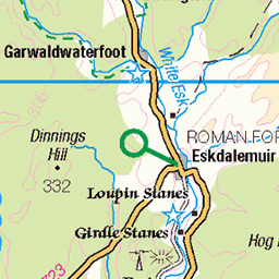
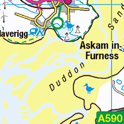
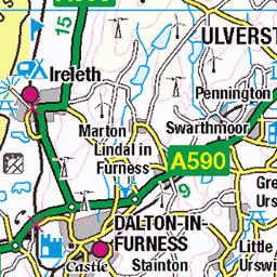
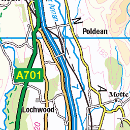
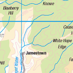
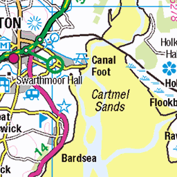
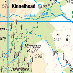
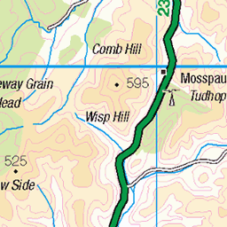
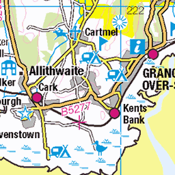
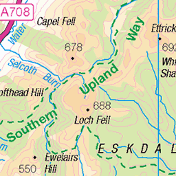
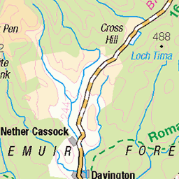
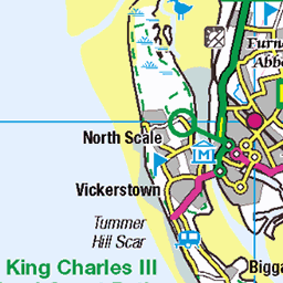
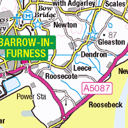
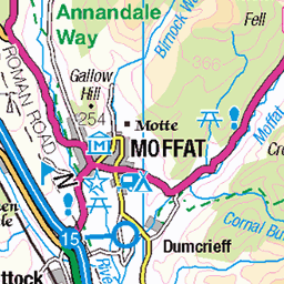
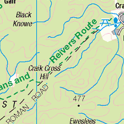
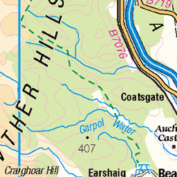
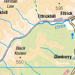
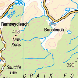
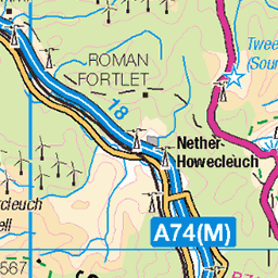
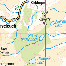
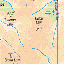
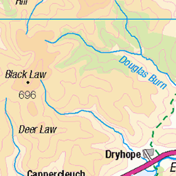
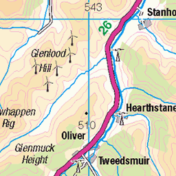
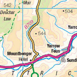
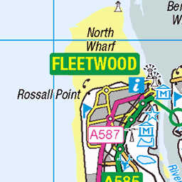
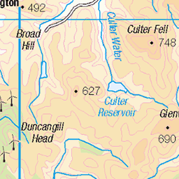
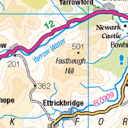
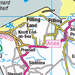
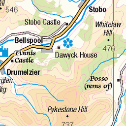
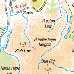
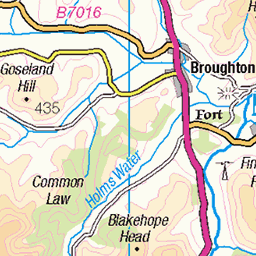
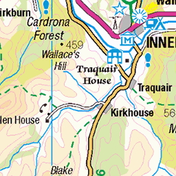
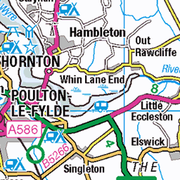
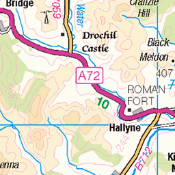
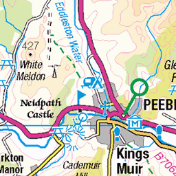
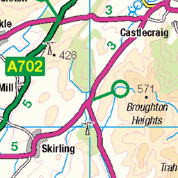
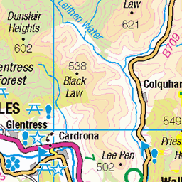
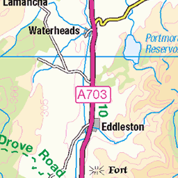
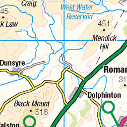
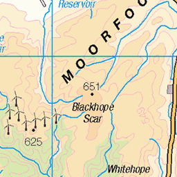
OS Map
This is OS mapping. In some areas, OpenStreetMap shows more footpaths
Spatial NI has online OSNI mapping. Click "Basemap Gallery" (4 squares icon at the top).
Now would be a good time for a cup of tea.


GPX Editor
Record map clicks
Reload map
Photos
Please tag your photos and upload them to the British and Irish Mountains group on Flickr
The other photos have been geo-tagged as on or around the summit. For less busy mountains, it can be a little hit and miss.
A591 - orienteering -- Wed 29 Dec 2021 11-05-51 GMT
29-Dec-21 • Dougie Nisbet • flickr
unitedkingdom cumbria england bewaldethandsnittlegarth bewaldeth northwestengland orienteering a591 51902918057
A591 - orienteering -- Wed 29 Dec 2021 11-05-54 GMT
29-Dec-21 • Dougie Nisbet • flickr
unitedkingdom cumbria england bewaldethandsnittlegarth bewaldeth northwestengland orienteering a591 51904204124
A591 - orienteering -- Wed 29 Dec 2021 11-06-11 GMT
29-Dec-21 • Dougie Nisbet • flickr
unitedkingdom cumbria england bewaldethandsnittlegarth bewaldeth northwestengland orienteering a591 51902917722
A591 - orienteering -- Wed 29 Dec 2021 11-06-13 GMT
29-Dec-21 • Dougie Nisbet • flickr
unitedkingdom cumbria england bewaldethandsnittlegarth bewaldeth northwestengland orienteering a591 51902917522
A591 - orienteering -- Wed 29 Dec 2021 11-10-24 GMT
29-Dec-21 • Dougie Nisbet • flickr
unitedkingdom cumbria england bewaldethandsnittlegarth bewaldeth northwestengland orienteering a591 51903967818
A591 - orienteering -- Wed 29 Dec 2021 11-10-29 GMT
29-Dec-21 • Dougie Nisbet • flickr
unitedkingdom cumbria england bewaldethandsnittlegarth bewaldeth northwestengland orienteering a591 51903967623

A591 - orienteering -- Wed 29 Dec 2021 11-10-30 GMT
29-Dec-21 • Dougie Nisbet • flickr
unitedkingdom cumbria england bewaldethandsnittlegarth bewaldeth northwestengland orienteering a591 51904522190

A591 - orienteering -- Wed 29 Dec 2021 11-10-37 GMT
29-Dec-21 • Dougie Nisbet • flickr
unitedkingdom cumbria england bewaldethandsnittlegarth bewaldeth northwestengland orienteering a591 51904203079

A591 - orienteering -- Wed 29 Dec 2021 11-11-19 GMT
29-Dec-21 • Dougie Nisbet • flickr
unitedkingdom cumbria england bewaldethandsnittlegarth bewaldeth northwestengland orienteering a591 51903882271

More path through the trees of Dodd
lakedistrictnationalpark dodd lakedistrict cumbria keswickholiday2021 doddwalk walk keswickholiday2021day6 unitedkingdom 51989712227
Videos
Dashcam Tourist drive from Swineside via Mosedale to Calbeck. A summer journey through the English Lake District. On the ...
This was supposed to be an out and back but time away from the mountains during lockdown has taken its toll! Plan B was ...
A fantastic walk beside Whelpo Beck.
Having not made any videos for a while due to a knee replacement op and lockdown, I finally got back in the saddle with this as a ...
Notes
- Data: Database of British and Irish Hills v18.2
- Maps: We use OS mapping for England, Scotland, Wales, and the Isle of Man. Sadly, Channel Islands, Northern (OSNI) and Southern Ireland (OSI) mapping isn't available online, so we use Openstreetmap.