Hills of Britain and Ireland
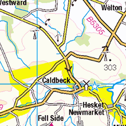
OS Map of Binsey
Height: 447m / 1466ft • Prominence: 242m / 794ft • Summit : trig point • Trip reports (hill-bagging)


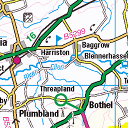
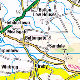
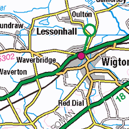
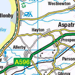
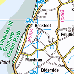
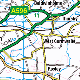
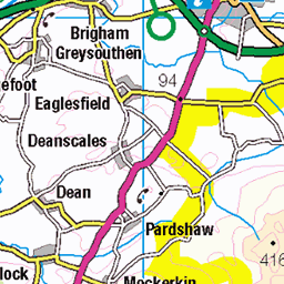
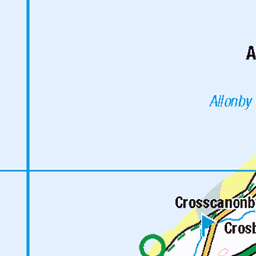
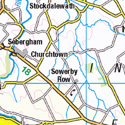
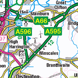
OS Map
This is OS mapping. In some areas, OpenStreetMap shows more footpaths
Spatial NI has online OSNI mapping. Click "Basemap Gallery" (4 squares icon at the top).
Now would be a good time for a cup of tea.


GPX Editor
Record map clicks
Reload map
Photos
Please tag your photos and upload them to the British and Irish Mountains group on Flickr
The other photos have been geo-tagged as on or around the summit. For less busy mountains, it can be a little hit and miss.


PSE14-0469
default
04-Sep-24 • gaz.withington • flickr
clouds aerial dji lakedistrict mountains landscape lakes water binsey 53978023991

photo
Walk up Binsey
31-Dec-23 • Steve Hodgson Photos • flickr
lakedistrict binsey cumbria 53432484972

Binsey - the summit
12-Sep-10 • johnabutler2 • flickr
mountain britain hill lakedistrict wainwright summit british binsey hill2351 4983556909

Binsey
Binsey, from the Uldale - Castle Inn road.
12-Sep-10 • johnabutler2 • flickr
marilyn britain hill lakedistrict wainwright british binsey hill2351 4986186228
Videos
Charlie completes the Northern Wainwrights on a short day out in the fells.
Binsey is one of the smallest and easiest Wainwrights to climb, standing at just 447m -1467 ft. Despite being such an easy walk, ...
A very windy walk up to Binsey, the Lake District's most Northern Fell. Sorry for the not so audible audio on this one but the wind ...
Quick first drone flight on the summit of Binsey, with the DJI Mini 3 Pro.
Having another day with Summer, we hit the fells again and went to Binsey, such a lovely little fell with stunning views for little ...
Notes
- Data: Database of British and Irish Hills v18.2
- Maps: We use OS mapping for England, Scotland, Wales, and the Isle of Man. Sadly, Channel Islands, Northern (OSNI) and Southern Ireland (OSI) mapping isn't available online, so we use Openstreetmap.