Hills of Britain and Ireland
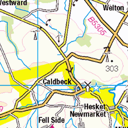
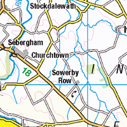
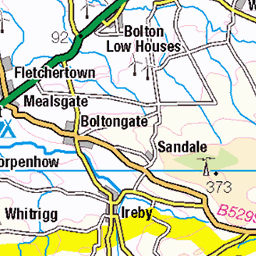
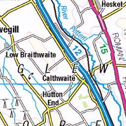
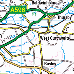
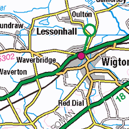
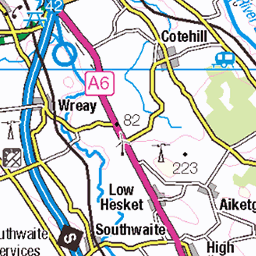
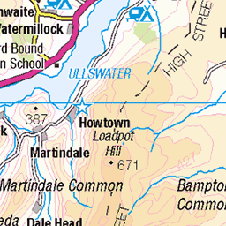
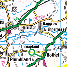
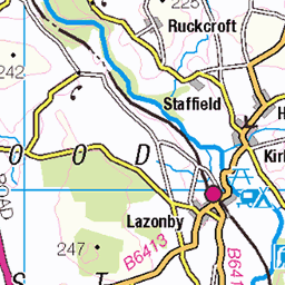
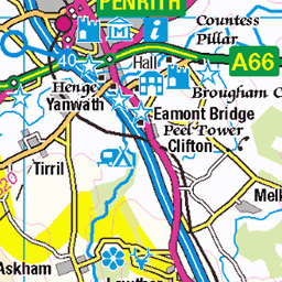
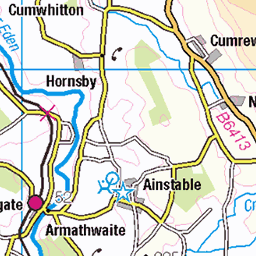
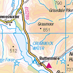
OS Map of Carrock Fell
Height: 662m / 2173ft • Prominence: 90m / 295ft • Summit : large cairn • Trip reports (hill-bagging)


OS Map
This is OS mapping. In some areas, OpenStreetMap shows more footpaths
Spatial NI has online OSNI mapping. Click "Basemap Gallery" (4 squares icon at the top).
Now would be a good time for a cup of tea.


GPX Editor
Record map clicks
Reload map
Photos
Please tag your photos and upload them to the British and Irish Mountains group on Flickr
The other photos have been geo-tagged as on or around the summit. For less busy mountains, it can be a little hit and miss.


Bog orchid
This diminutive orchid took some finding. They really are tiny and you have to be really careful not to tread on any as you search the suitable habitat. These were seen in Cumbria
22-Jul-21 • jikjglmw62 • flickr
53699925095

Northern Fells - Carrock to Blencathra.
View over the Northern Fells from the upper slopes of High Pike. From left to right - Carrock Fell, Bowscale Fell centre frame and Saddleback.
22-Jun-18 • greengrocer48 • flickr
cumbria blencathra england lakedistrict northernfells saddleback highpike carrockfell bowscalefell 54010903894
Videos
A walk in the Lake District covering two Wainwright Fells, Carrock Fell (661M) & High Pike (658M). The fells are part of the ...
In the far north east of the English Lake District lies Carrock Fell, one of Alfred Wainwright's favourite fells of the area. Not content ...
A first ever climb up the very steep Carrock Fell before crossing over to the second summit of the day, High Pike, making this a ...
A short 10 minute video documenting a climb to Carrock Fell then a route to High Pike taking in Lingy Hut and a new Nuttall (Miller ...
Carrock fell & High Pike, a bitterly cold day for a Wainwright Walk wi'a Local Lad in the Northern Fells. The cold clear air meant ...
Notes
- Data: Database of British and Irish Hills v18.2
- Maps: We use OS mapping for England, Scotland, Wales, and the Isle of Man. Sadly, Channel Islands, Northern (OSNI) and Southern Ireland (OSI) mapping isn't available online, so we use Openstreetmap.