Hills of Britain and Ireland
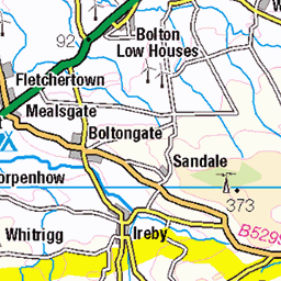
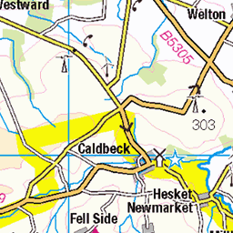
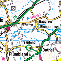
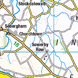
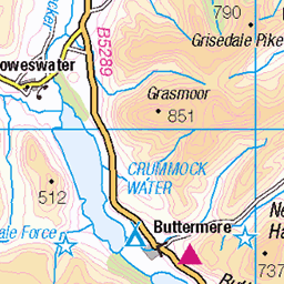
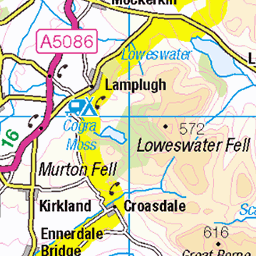
OS Map of Great Calva


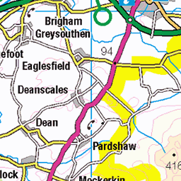
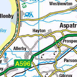
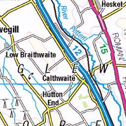
OS Map
This is OS mapping. In some areas, OpenStreetMap shows more footpaths
Spatial NI has online OSNI mapping. Click "Basemap Gallery" (4 squares icon at the top).
Now would be a good time for a cup of tea.


GPX Editor
Record map clicks
Reload map
Photos
Please tag your photos and upload them to the British and Irish Mountains group on Flickr
The other photos have been geo-tagged as on or around the summit. For less busy mountains, it can be a little hit and miss.


Skiddaw Hostel
"Skiddaw House is a remote mountain hostel, accessible only on foot or by mountain bike. [] [I'm not sure how that white vehicle got there!] it is the highest hostel in Britain and is an ideal base for reaching the summit of Skiddaw or exploring the quiet Northern Fells. A former shooting lodge and shepherd's bothy on the Cumbria Way. [] There is no mains electricity, phone signal, internet or TV to distract from the beautiful surroundings. [] Guests are advised to bring a map and torch."
15-Jul-24 • Paul Austin Murphy • flickr
skiddaw skiddawhouse skiddawhostel northernfells 53862114847

7e802940
A circular sheep pen. Cool.
20-May-24 • ProfMarkRoberts • flickr
cumbriaway england lakedistrict uk landscapes 53757692323

7e802942
The River Caldew.
20-May-24 • ProfMarkRoberts • flickr
cumbriaway england lakedistrict uk landscapes streams 53757905385
Videos
An easy stroll up Great Calva in the Northern Fells. https://www.youtube.com/@TonysTrails?sub_confirmation=1 #lakedistrict ...
A slow 360 degree panorama from the summit of Great Calva, in the Northern Fells region of the English Lake District. All main ...
In the far north east of the English Lake District lies Carrock Fell, one of Alfred Wainwright's favourite fells of the area. Not content ...
A 13.8 mile walk from near Mosedale. The route first climbs up Carrock Fell before heading west to High Pike. Retracing our steps ...
Welcome to the Channel, This walk is The Caldbeck Fells & Great Calva, Peak Bagging the Wainwright Fells. 25th June 2024 1 ...
Notes
- Data: Database of British and Irish Hills v18.2
- Maps: We use OS mapping for England, Scotland, Wales, and the Isle of Man. Sadly, Channel Islands, Northern (OSNI) and Southern Ireland (OSI) mapping isn't available online, so we use Openstreetmap.