Hills of Britain and Ireland
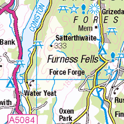
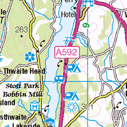
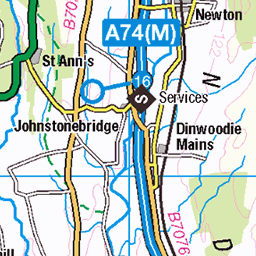
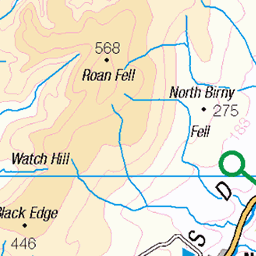
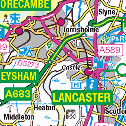
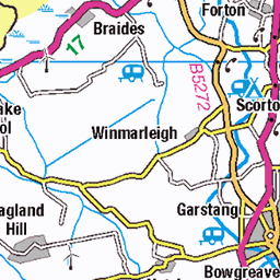
OS Map of Carl Side
Height: 747m / 2450ft • Prominence: 28m / 92ft • Summit : loose pile of rocks • Trip reports (hill-bagging)

photo
Hike up Ullock pike, Long side and Carl side. View to Skiddaw
22-Sep-24 • Steve Hodgson Photos • flickr
skiddaw lakedistrict cumbria 54018189440

photo
Hike up Ullock pike, Long side and Carl side. View to Keswick, Derwent water.
22-Sep-24 • Steve Hodgson Photos • flickr
lakedistrict cumbria doddwood derwentwater 54018086599

photo
Hike up Ullock pike, Long side and Carl side.
22-Sep-24 • Steve Hodgson Photos • flickr
path lakedistrict cumbria 54017757131

photo
Hike up Ullock pike, Long side and Carl side.
22-Sep-24 • Steve Hodgson Photos • flickr
ullockpike bassenthwaite lakedistrict cumbria 54017757101

photo
Hike up Ullock pike, Long side and Carl side. View to Skiddaw
22-Sep-24 • Steve Hodgson Photos • flickr
skiddaw lakedistrict scree cumbria 54016850222

photo
Hike up Ullock pike, Long side and Carl side. View to the scree path to Skiddaw
22-Sep-24 • Steve Hodgson Photos • flickr
scree path skiddaw cumbria lakedistrict 54016850367
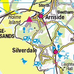
OS Map
This is OS mapping. In some areas, OpenStreetMap shows more footpaths
Spatial NI has online OSNI mapping. Click "Basemap Gallery" (4 squares icon at the top).
Now would be a good time for a cup of tea.


GPX Editor
Record map clicks
Reload map
Photos
Please tag your photos and upload them to the British and Irish Mountains group on Flickr
The other photos have been geo-tagged as on or around the summit. For less busy mountains, it can be a little hit and miss.
photo
Hike up Ullock pike, Long side and Carl side. View to Skiddaw
22-Sep-24 • Steve Hodgson Photos • flickr
skiddaw lakedistrict cumbria 54018189440
photo
Hike up Ullock pike, Long side and Carl side. View to Keswick, Derwent water.
22-Sep-24 • Steve Hodgson Photos • flickr
lakedistrict cumbria doddwood derwentwater 54018086599
photo
Hike up Ullock pike, Long side and Carl side.
22-Sep-24 • Steve Hodgson Photos • flickr
path lakedistrict cumbria 54017757131
photo
Hike up Ullock pike, Long side and Carl side.
22-Sep-24 • Steve Hodgson Photos • flickr
ullockpike bassenthwaite lakedistrict cumbria 54017757101
photo
Hike up Ullock pike, Long side and Carl side. View to Skiddaw
22-Sep-24 • Steve Hodgson Photos • flickr
skiddaw lakedistrict scree cumbria 54016850222
photo
Hike up Ullock pike, Long side and Carl side. View to the scree path to Skiddaw
22-Sep-24 • Steve Hodgson Photos • flickr
scree path skiddaw cumbria lakedistrict 54016850367

photo
Hike up Ullock pike, Long side and Carl side. View to Skiddaw via the scree path.
22-Sep-24 • Steve Hodgson Photos • flickr
cloud scree path skiddaw lakedistrict cumbria 54017756191


Lake District
28-Oct-23 • Matthew Margot • flickr
england unitedkingdom lakedistrict keswick 54216592698

Videos
A slow 360 degree panorama from the summit of Carl Side in the Northern Fells region of the English Lake District. All main ...
Headed to the Lake District with the Mrs for this one. We had limited time so planned a 4hr hike starting out in Dodd Wood to ...
A first ever collaboration with Chris from @Bonny Lads on Tour and we had a real fun day climbing 4 Wainwrights, Ullock Pike, ...
A walk (climb) in the English Lake District, over one of its biggest peaks , #skiddaw. One of the 214 mountains that make up the ...
The start of my target to do all 214 Wainwright peaks in the Lake district. This was a long time ago so the pictures aren't very good ...
Notes
- Data: Database of British and Irish Hills v18.2
- Maps: We use OS mapping for England, Scotland, Wales, and the Isle of Man. Sadly, Channel Islands, Northern (OSNI) and Southern Ireland (OSI) mapping isn't available online, so we use Openstreetmap.