Hills of Britain and Ireland
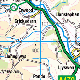
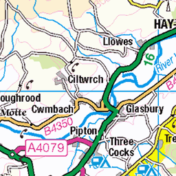
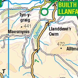
OS Map of Tor y Foel
Height: 551m / 1808ft • Prominence: 157m / 515ft • Summit : ground 3m N of flattened cairn • Trip reports (hill-bagging)


Talybont overflow
28-Jan-24 • OutdoorMonkey • flickr
breconbeacons bannaubrycheiniog nationalpark southwales wales outside outdoor rural countryside reservoir talybont water lake storm sky skies cloud clouds cloudy 53496389744
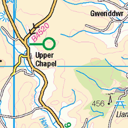
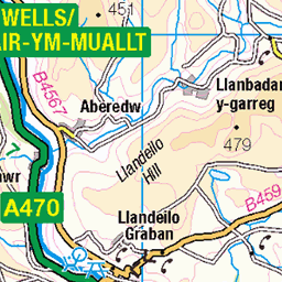
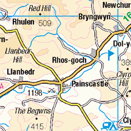
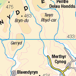
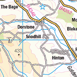
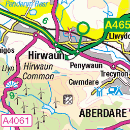
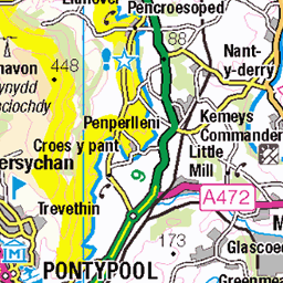
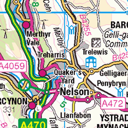
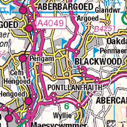
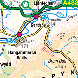
OS Map
This is OS mapping. In some areas, OpenStreetMap shows more footpaths
Spatial NI has online OSNI mapping. Click "Basemap Gallery" (4 squares icon at the top).
Now would be a good time for a cup of tea.
GPX Editor
Record map clicks
Reload map
Photos
Please tag your photos and upload them to the British and Irish Mountains group on Flickr
The other photos have been geo-tagged as on or around the summit. For less busy mountains, it can be a little hit and miss.
Talybont overflow
28-Jan-24 • OutdoorMonkey • flickr
breconbeacons bannaubrycheiniog nationalpark southwales wales outside outdoor rural countryside reservoir talybont water lake storm sky skies cloud clouds cloudy 53496389744

Talybont reservoir
28-Jan-24 • OutdoorMonkey • flickr
breconbeacons bannaubrycheiniog nationalpark southwales wales outside outdoor rural countryside reservoir talybont water lake storm sky skies cloud clouds cloudy 53496215708

talybont reservoir outlet tower
25-Jul-23 • slabrador • flickr
brecon wales unitedkingdom talybont reservoir outlet tower water green hills cloudy sky 53075032582


Videos
Trail Review: https://roamingspices.com/tor-y-foel-walk/ Following the Monmouthshire & Brecon Canal Whichever parking location ...
A walk to the top of Tor Y Foel. A beautiful hill top in the central Brecon Beacons overlooking Talybont reservoir and Carn Pica.
Afternoon stroll around and over Tor y Foel at 551m not a big mountain bit big views across the Usk valley and over to the Central ...
This 360 video was taken on my Talybont-On-Usk-Tor Y Foel Circular Hike. Download My free route Talybont On Usk-Tor y Foel ...
This video was taken on my Talybont-On-Usk-Tor Y Foel Circular Hike. Download My free route Talybont On Usk-Tor y Foel ...
Notes
- Data: Database of British and Irish Hills v18.2
- Maps: We use OS mapping for England, Scotland, Wales, and the Isle of Man. Sadly, Channel Islands, Northern (OSNI) and Southern Ireland (OSI) mapping isn't available online, so we use Openstreetmap.