Hills of Britain and Ireland
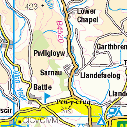
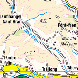
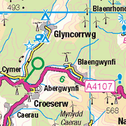
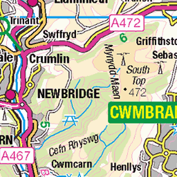
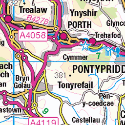
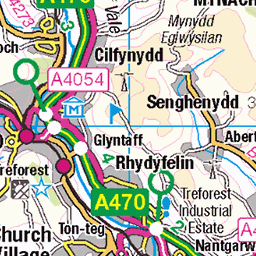
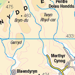
OS Map of Cefn yr Ystrad
Height: 617m / 2025ft • Prominence: 177m / 581ft • Summit : ground by trig point • Trip reports (hill-bagging)


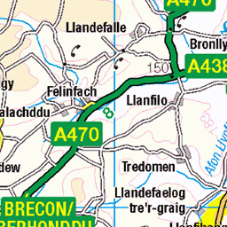
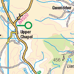
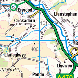
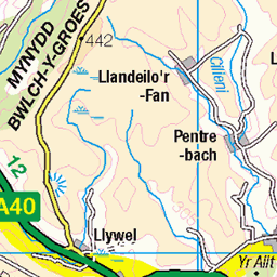
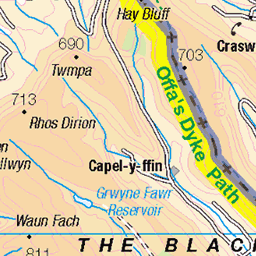
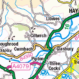
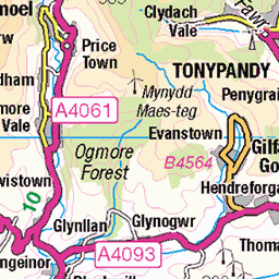
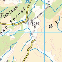
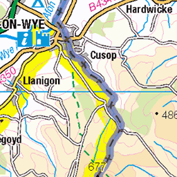
OS Map
This is OS mapping. In some areas, OpenStreetMap shows more footpaths
Spatial NI has online OSNI mapping. Click "Basemap Gallery" (4 squares icon at the top).
Now would be a good time for a cup of tea.

GPX Editor
Record map clicks
Reload map
Photos
Please tag your photos and upload them to the British and Irish Mountains group on Flickr
The other photos have been geo-tagged as on or around the summit. For less busy mountains, it can be a little hit and miss.


Videos
A walk into the wilder more remote aspect of the Brecon Beacons, Cefn Yr Ystrad offers amongst the best expansive views of the ...
Spending a night on the lonesome Beacon, Cefn yr Ystrad, 617m. Finally back out for a wild camp and I was treated to a morning ...
A 'summer' wild camp on Cefn yr Ystrad mountain in high winds and heavy rain. Testing out my budget 2 man Crivit tent from Lidl ...
When you reach Trefil, follow the same road until you come to a cattle grid and barrier. The quarry road is closed to traffic, so park ...
I went gravel bike riding in the Brecon Beacons and finally found the trails I was looking for around the Usk Reservoir and ...
Notes
- Data: Database of British and Irish Hills v18.2
- Maps: We use OS mapping for England, Scotland, Wales, and the Isle of Man. Sadly, Channel Islands, Northern (OSNI) and Southern Ireland (OSI) mapping isn't available online, so we use Openstreetmap.