Hills of Britain and Ireland
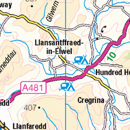
OS Map of Pen y Gadair Fawr


Black Mountains-081 Top of Pen y Gadair Fawr
blackmountainsbreconbeaconnationalpark 19783976939

Black Mountains-082 Top of Pen y Gadair Fawr
blackmountainsbreconbeaconnationalpark 19782693560
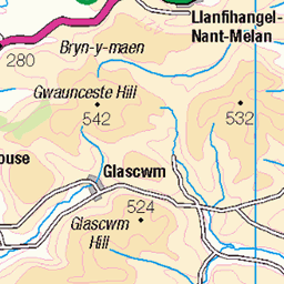
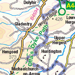
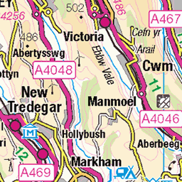
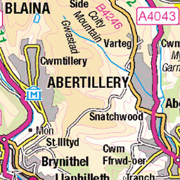
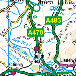
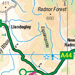
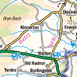
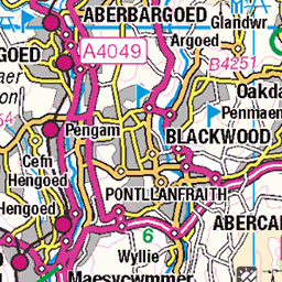
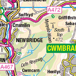
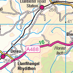
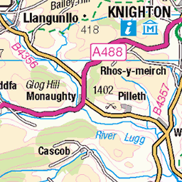
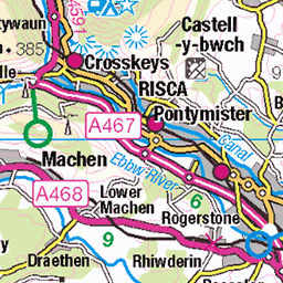
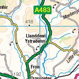
OS Map
This is OS mapping. In some areas, OpenStreetMap shows more footpaths
Spatial NI has online OSNI mapping. Click "Basemap Gallery" (4 squares icon at the top).
Now would be a good time for a cup of tea.


GPX Editor
Record map clicks
Reload map
Photos
Please tag your photos and upload them to the British and Irish Mountains group on Flickr
The other photos have been geo-tagged as on or around the summit. For less busy mountains, it can be a little hit and miss.
Black Mountains-081 Top of Pen y Gadair Fawr
blackmountainsbreconbeaconnationalpark 19783976939
Black Mountains-082 Top of Pen y Gadair Fawr
blackmountainsbreconbeaconnationalpark 19782693560

Black Mountains-083 Top of Pen y Gadair Fawr
blackmountainsbreconbeaconnationalpark 19349687983

Black Mountains-084 Top of Pen y Gadair Fawr
blackmountainsbreconbeaconnationalpark 19975868531

Black Mountains-085 Top of Pen y Gadair Fawr
blackmountainsbreconbeaconnationalpark 19962986432

Black Mountains-086 Top of Pen y Gadair Fawr
blackmountainsbreconbeaconnationalpark 19782678700
Videos
A hike up to the summit of Pen Y Gadair Fawr in the Brecon Beacons. One of the highest and more remote peaks. Ascent via the ...
360 Video from the summit of Pen-Y-Gadair Fawr, in the Black Mountains/Wales.
The Dragons Back. 9 mile circular Hike: Start /end Pengenffordd (LD3 0EP) Taking in; Castell Dinas, Pen y Manllwyn (775m), ...
Two nights in the Black Mountains then a campsite in Hay on Wye. A walk into the Black mountains from Pandy. 12 miles uphill to ...
Me & my mates Bill & Bob go for a walk up onj to Waun Black in the Black Mountains via the Dragon's Back which starts from the ...
Notes
- Data: Database of British and Irish Hills v18.2
- Maps: We use OS mapping for England, Scotland, Wales, and the Isle of Man. Sadly, Channel Islands, Northern (OSNI) and Southern Ireland (OSI) mapping isn't available online, so we use Openstreetmap.