Hills of Britain and Ireland
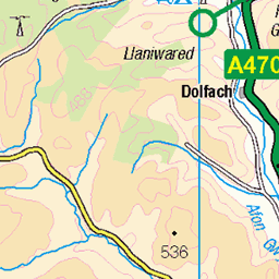
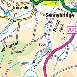
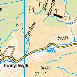
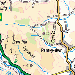
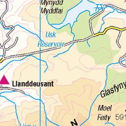
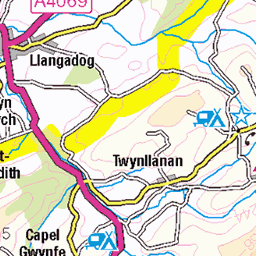
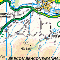
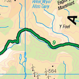
OS Map of Pen y Garn-goch
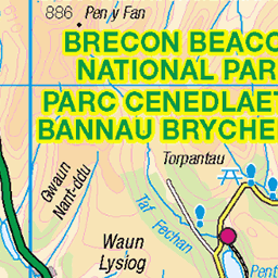
Height: 487m / 1598ft • Prominence: 160m / 525ft • Summit : cairn on ancient cairn • Trip reports (hill-bagging)


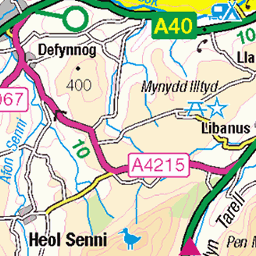
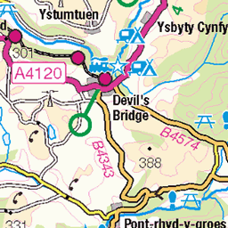
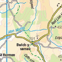
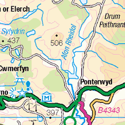
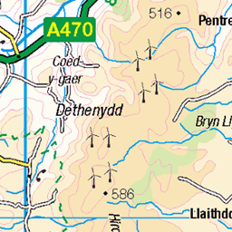
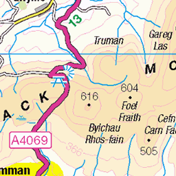
OS Map
This is OS mapping. In some areas, OpenStreetMap shows more footpaths
Spatial NI has online OSNI mapping. Click "Basemap Gallery" (4 squares icon at the top).
Now would be a good time for a cup of tea.
GPX Editor
Record map clicks
Reload map
Photos
Please tag your photos and upload them to the British and Irish Mountains group on Flickr
The other photos have been geo-tagged as on or around the summit. For less busy mountains, it can be a little hit and miss.


Videos
looks like winter is here and what scenes we was treated to.
The snow capped peaks of Snowdonia, Wales including Snowdon, Y Lliwedd, Tryfan, Pen Yr Ole Wen, Crib Goch, Y Garn, ...
The Welsh 3 Peaks is a challenge taking on 3 peaks in the south, middle and north of Wales. Pen y Fan - 886m Cadair Idris ...
The Welsh Three Peaks challenge is a hiking challenge which requires you to summit and descend the three iconic Welsh ...
We Wild Camped in the Ogwen Valley next to Llyn Bochlwyd lake, Wales UK The weather was brilliant over the weekend and we ...
Notes
- Data: Database of British and Irish Hills v18.2
- Maps: We use OS mapping for England, Scotland, Wales, and the Isle of Man. Sadly, Channel Islands, Northern (OSNI) and Southern Ireland (OSI) mapping isn't available online, so we use Openstreetmap.