Hills of Britain and Ireland
OS Map of Carneddau
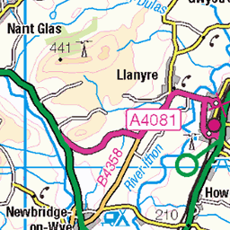
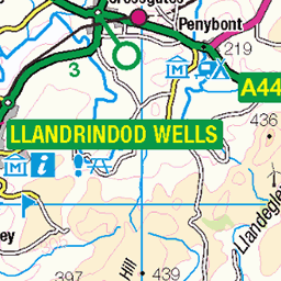
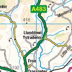
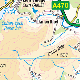
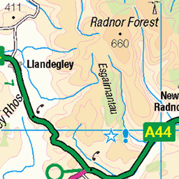
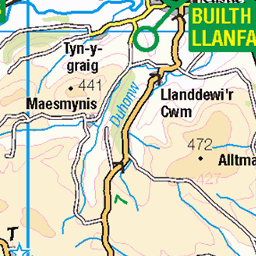
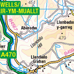
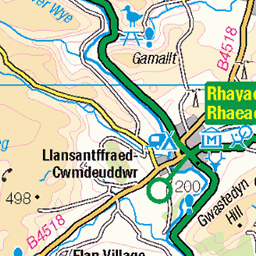
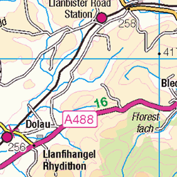
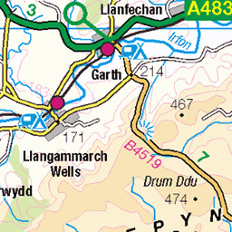
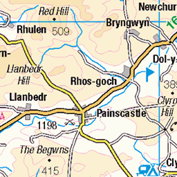
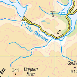
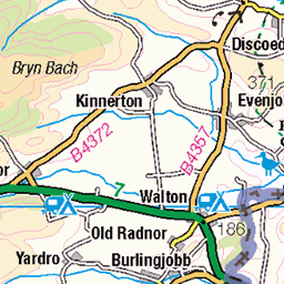
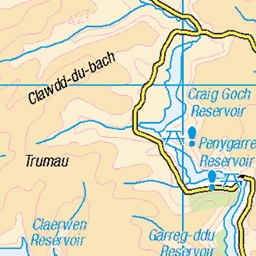
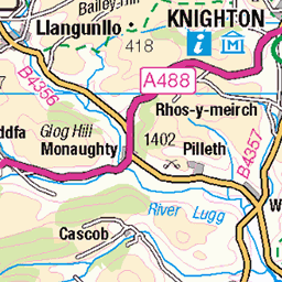
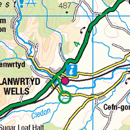
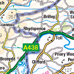
OS Map
This is OS mapping. In some areas, OpenStreetMap shows more footpaths
Spatial NI has online OSNI mapping. Click "Basemap Gallery" (4 squares icon at the top).
Now would be a good time for a cup of tea.

GPX Editor
Record map clicks
Reload map
Photos
Please tag your photos and upload them to the British and Irish Mountains group on Flickr
The other photos have been geo-tagged as on or around the summit. For less busy mountains, it can be a little hit and miss.
Videos
Day 1 of our Welsh 3000ers trip: Starting in Ogwen Valley and finishing in Gerlan, this was a 21.5km long linear hike doing all 7 ...
11 of the 12 highest peaks in the Carneddau. Brian and I took 3 days to complete this epic adventure. We set up camp at the crash ...
For more holiday apartments and villas, visit ▷ https://www.alphaholidaylettings.com/ Check out full availability & pricing for this ...
I stopped off for a look at Builth Castle one day. It's one of those places I knew about but never been to before, I am glad I went ...
Taken 30th October 2021 while on a walk around the Groe Park at Builth Wells. There had been a few days of rain so the river ...
Notes
- Data: Database of British and Irish Hills v18.2
- Maps: We use OS mapping for England, Scotland, Wales, and the Isle of Man. Sadly, Channel Islands, Northern (OSNI) and Southern Ireland (OSI) mapping isn't available online, so we use Openstreetmap.