Hills of Britain and Ireland
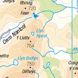
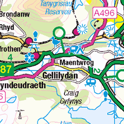
OS Map of Tarrenhendre
Height: 634m / 2080ft • Prominence: 203m / 666ft • Summit : cairn on peat hag • Trip reports (hill-bagging)


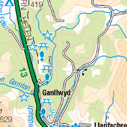
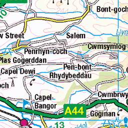
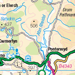
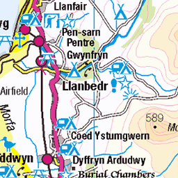
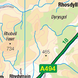
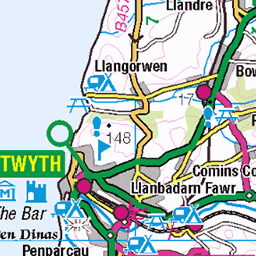
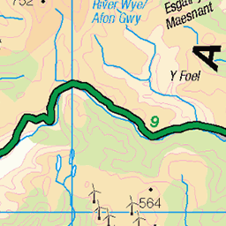
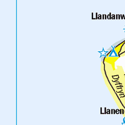
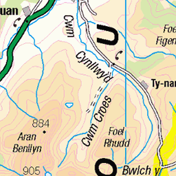
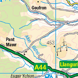
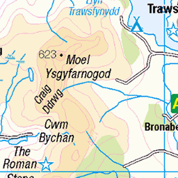
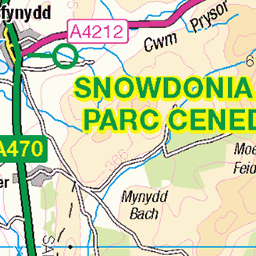
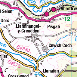
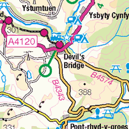
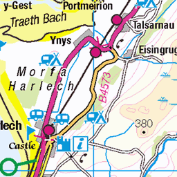
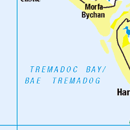
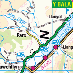
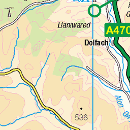
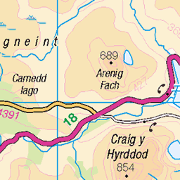
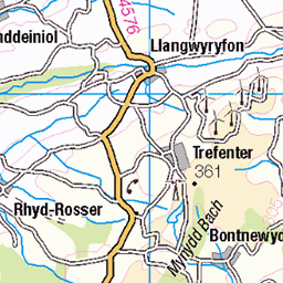
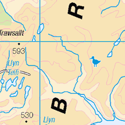
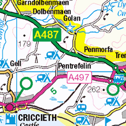
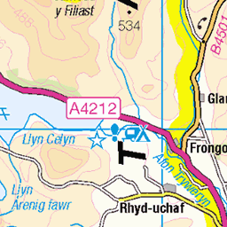
OS Map
This is OS mapping. In some areas, OpenStreetMap shows more footpaths
Spatial NI has online OSNI mapping. Click "Basemap Gallery" (4 squares icon at the top).
Now would be a good time for a cup of tea.

Try disabling your ad-blocker if the map doesn't appear.
GPX Editor
Record map clicks
Reload map
Initialising...
Photos
bmdhill
hill2151
Please tag your photos and upload them to the British and Irish Mountains group on Flickr
The other photos have been geo-tagged as on or around the summit. For less busy mountains, it can be a little hit and miss.


Videos
Ras Tarren Hendre
no-mad Adventures, Nov-21
The 'normal' route on Tarren Hendre.
Epic Snowdonia Way Journey: Wildcamping Days 1 & 2
Crag Rat Outdoors, Sep-23
The Snowdonia Way (mountain route) is a 122 mile long trail stretching from Machynlleth in the south of Snowdonia National Park ...
ABERGYNOLWYN WALES throughout time
Notes
- Data: Database of British and Irish Hills v18.2
- Maps: We use OS mapping for England, Scotland, Wales, and the Isle of Man. Sadly, Channel Islands, Northern (OSNI) and Southern Ireland (OSI) mapping isn't available online, so we use Openstreetmap.