Hills of Britain and Ireland
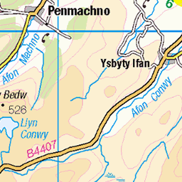
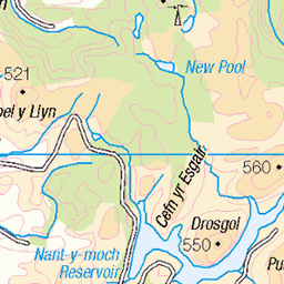
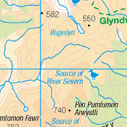
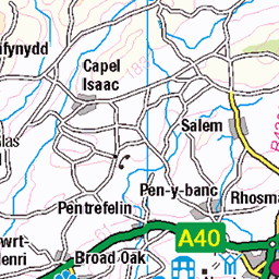
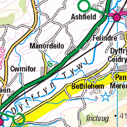
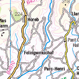
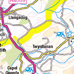
OS Map of Y Llethr
Height: 756m / 2480ft • Prominence: 561m / 1841ft • Summit : ground near slight bend in wall • Trip reports (hill-bagging)


photo
Looking towards the summit of Y Llethr, one of the Rhinog peaks in north-west Wales.
23-Sep-22 • OutdoorMonkey • flickr
wales snowdonia rhinogs rhinogydd outside outdoor rural nature natural scenic scenery countryside hill hillside mountain mountainside cloud clouds cloudy wall walls rock yllethr 52402406489

Rhinog pair
Rhinog Fawr (sunlit), Rhinog Fach (in shadow) and Llyn Hywel (the lake) from neighbouring peak Y Llethr, in the Snowdonia national park.
23-Sep-22 • OutdoorMonkey • flickr
wales snowdonia rhinogs rhinogydd outside outdoor rural nature natural scenic scenery countryside hill hillside mountain mountainside llynhywel lake water llyn rhinogfawr rhinogfach cloud clouds cloudy 52401607267

photo
The col between Diffwys and Y Llethr, two of the Rhinog peaks in Snowdonia.
23-Sep-22 • OutdoorMonkey • flickr
wales snowdonia rhinogs rhinogydd outside outdoor rural nature natural scenic scenery countryside hill hillside mountain mountainside wall walls diffwys col saddle 52401608037

On our way to Diffwys, Snowdonia
A week staying near Betws Garmon, on the road between Beddgelert and Caernarfon. Hike 7 took us on to Diffwys from Tal-y-bont. The forecast said 10% chance of rain. We had at least 3 hours of rain in the low cloud. Consequently, it was boggy and rough and we didn't see much until the afternoon, when we were almost back at the car.
09-Jul-21 • Miche & Jon Rousell • flickr
wales northwales snowdonia gwynedd talybont diffwys moss green iphone iphonography iphone11 51420220012

Wire We Waiting?
...for some barbed comments?
28-Apr-19 • RoystonVasey • flickr
canon eos m efm 1855mm f3556 is stm wales snowdonia rhinogydd cwn nantcol llyn hywel y llethr rhinog fach fence pole barbed wire roll spool coil 51411373972
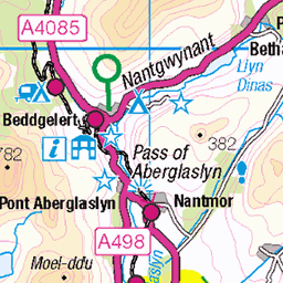
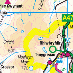
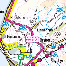
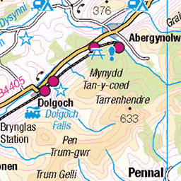
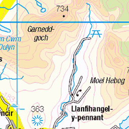
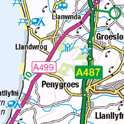
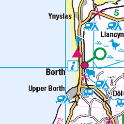
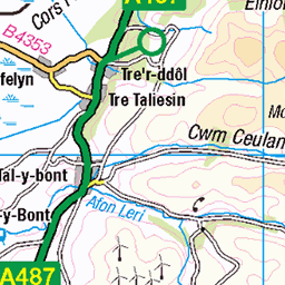
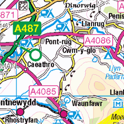
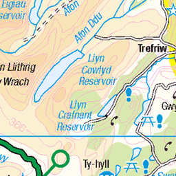
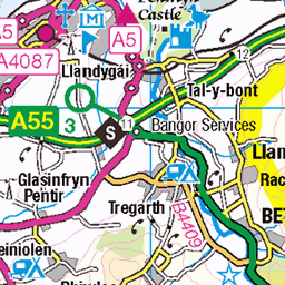
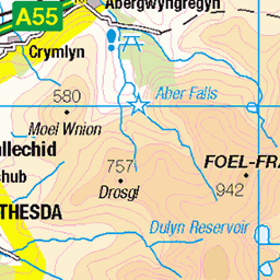
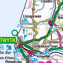
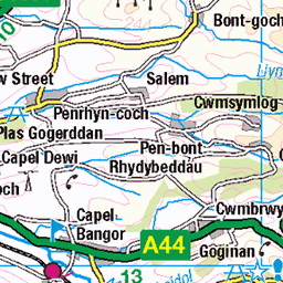
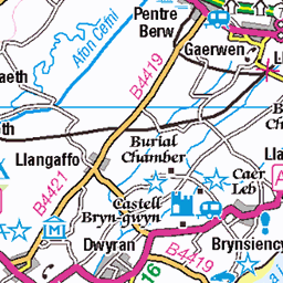
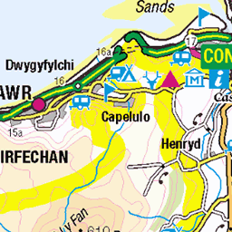
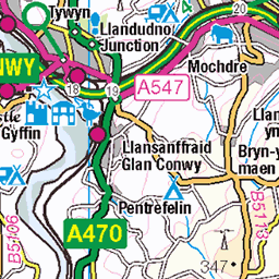
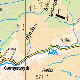
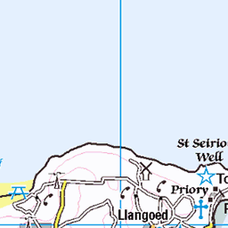
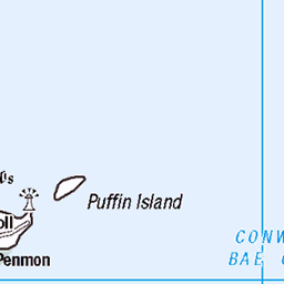
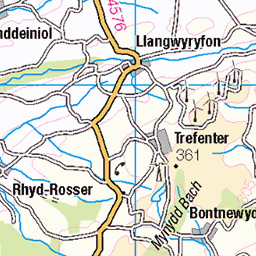
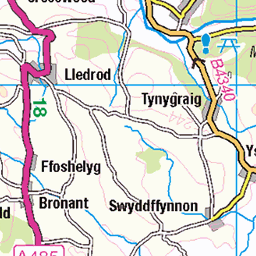
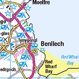
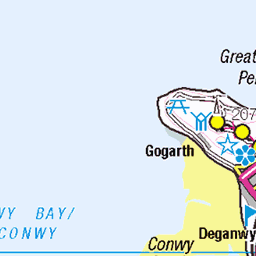
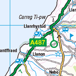
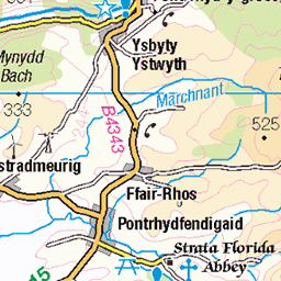
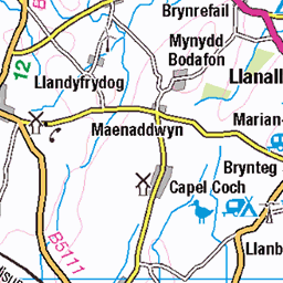
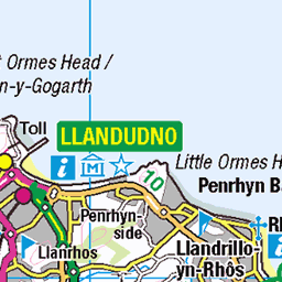
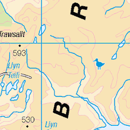
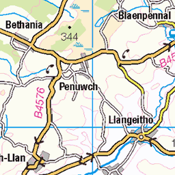
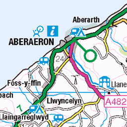
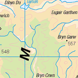
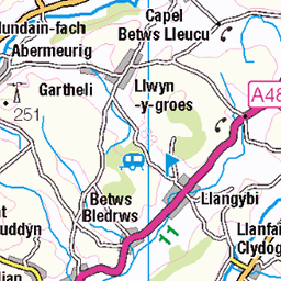
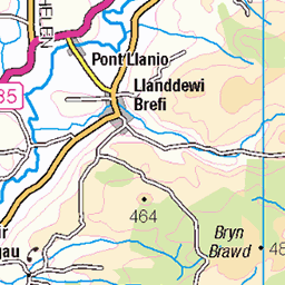
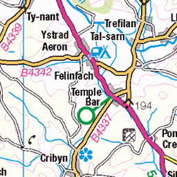
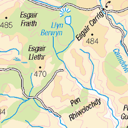
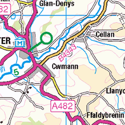
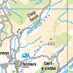
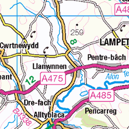
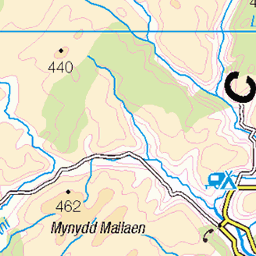
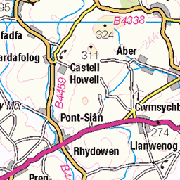
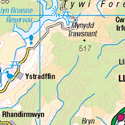
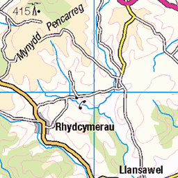
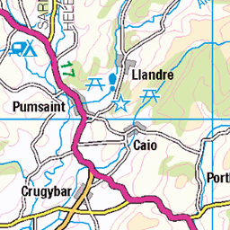
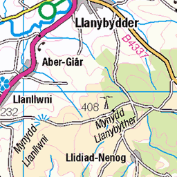
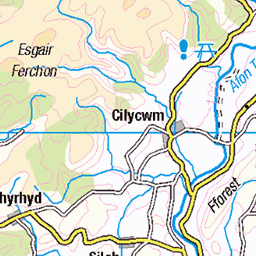
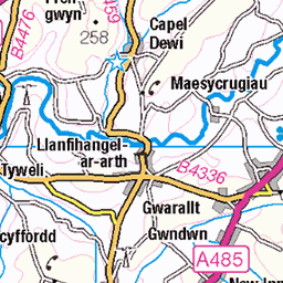
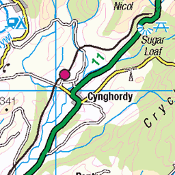
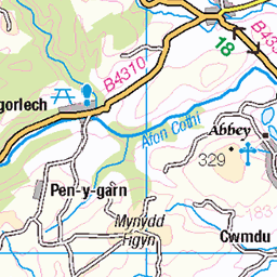
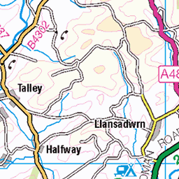
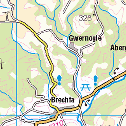
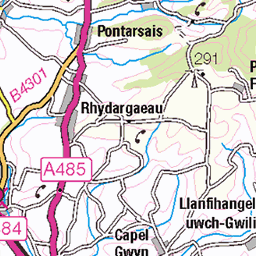
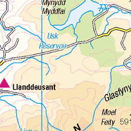
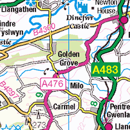
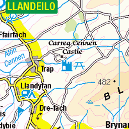
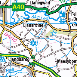
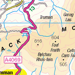
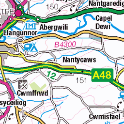
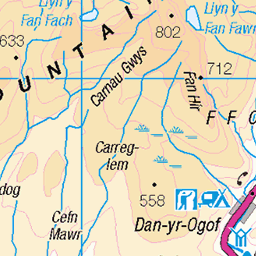
OS Map
This is OS mapping. In some areas, OpenStreetMap shows more footpaths
Spatial NI has online OSNI mapping. Click "Basemap Gallery" (4 squares icon at the top).
Now would be a good time for a cup of tea.


GPX Editor
Record map clicks
Reload map
Photos
Please tag your photos and upload them to the British and Irish Mountains group on Flickr
The other photos have been geo-tagged as on or around the summit. For less busy mountains, it can be a little hit and miss.
photo
Looking towards the summit of Y Llethr, one of the Rhinog peaks in north-west Wales.
23-Sep-22 • OutdoorMonkey • flickr
wales snowdonia rhinogs rhinogydd outside outdoor rural nature natural scenic scenery countryside hill hillside mountain mountainside cloud clouds cloudy wall walls rock yllethr 52402406489
Rhinog pair
Rhinog Fawr (sunlit), Rhinog Fach (in shadow) and Llyn Hywel (the lake) from neighbouring peak Y Llethr, in the Snowdonia national park.
23-Sep-22 • OutdoorMonkey • flickr
wales snowdonia rhinogs rhinogydd outside outdoor rural nature natural scenic scenery countryside hill hillside mountain mountainside llynhywel lake water llyn rhinogfawr rhinogfach cloud clouds cloudy 52401607267
photo
The col between Diffwys and Y Llethr, two of the Rhinog peaks in Snowdonia.
23-Sep-22 • OutdoorMonkey • flickr
wales snowdonia rhinogs rhinogydd outside outdoor rural nature natural scenic scenery countryside hill hillside mountain mountainside wall walls diffwys col saddle 52401608037
On our way to Diffwys, Snowdonia
A week staying near Betws Garmon, on the road between Beddgelert and Caernarfon. Hike 7 took us on to Diffwys from Tal-y-bont. The forecast said 10% chance of rain. We had at least 3 hours of rain in the low cloud. Consequently, it was boggy and rough and we didn't see much until the afternoon, when we were almost back at the car.
09-Jul-21 • Miche & Jon Rousell • flickr
wales northwales snowdonia gwynedd talybont diffwys moss green iphone iphonography iphone11 51420220012
Wire We Waiting?
...for some barbed comments?
28-Apr-19 • RoystonVasey • flickr
canon eos m efm 1855mm f3556 is stm wales snowdonia rhinogydd cwn nantcol llyn hywel y llethr rhinog fach fence pole barbed wire roll spool coil 51411373972

Odd Rock Out
www.youtube.com/watch?v=HrxX9TBj2zY" rel="noreferrer nofollow www.youtube.com/watch?v=HrxX9TBj2zY
28-Apr-19 • RoystonVasey • flickr
canon eos m efm 1855mm f3556 is stm wales snowdonia rhinogydd cwn nantcol llyn hywel y llethr rhinog fach cribyrhiw diffwys dry stone wall 51414653271

Nice Soup
www.youtube.com/watch?v=dXNf7gzv11s" rel="noreferrer nofollow www.youtube.com/watch?v=dXNf7gzv11s
28-Apr-19 • RoystonVasey • flickr
canon eos m efm 1855mm f3556 is stm wales snowdonia rhinogydd cwn nantcol llyn hywel y llethr rhinog fach cribyrhiw diffwys dry stone wall 51415642510

There She Goes
www.youtube.com/watch?v=68MKLkNSMN4" rel="noreferrer nofollow www.youtube.com/watch?v=68MKLkNSMN4
28-Apr-19 • RoystonVasey • flickr
canon eos m efm 1855mm f3556 is stm wales snowdonia rhinogydd cwn nantcol llyn hywel y llethr rhinog fach cribyrhiw diffwys dry stone wall 51414921488

Videos
Starting at Maes y Garnedd at the end of the lane at Cwm Nantcol, head up towards Bwlch Drws Adudwy, then up to Llyn ...
A clip from Coed Y Brenin forest park towards Rhinog national nature reserve in Snowdonia national park, walking Wales.
My first wild camping adventure in a year sees me in the south of Eryri national park, starting off in Barmouth then making my way ...
A hike to the summit of Diffwys, 750m, the most southern peak in the Rhinogydd. A quiet and relatively remote area of southern ...
Notes
- Data: Database of British and Irish Hills v18.2
- Maps: We use OS mapping for England, Scotland, Wales, and the Isle of Man. Sadly, Channel Islands, Northern (OSNI) and Southern Ireland (OSI) mapping isn't available online, so we use Openstreetmap.