Hills of Britain and Ireland
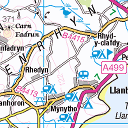
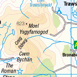
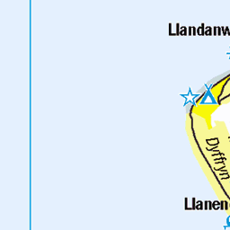
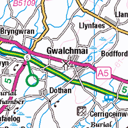
OS Map of Mynydd Graig Goch

Llyn Cwm Dulyn (2)
North Wales
01-Apr-23 • Ian Gedge • flickr
britain uk wales cymru water lake llyn llyncwmdulyn northwales 53357714562

Llyn Cwm Dulyn
North Wales
01-Apr-23 • Ian Gedge • flickr
uk britain wales cymru lake llyn reservoir mountains northwales 52822343738

Bridge at Llyn Cwm Dulyn
North Wales
01-Apr-23 • Ian Gedge • flickr
uk britain wales northwales snowdonia mountains cymru 52863418724


IMG_2514
Taken with ViewRanger Skyline - Compass Heading : 250°, Version : 8.6.4(434), Field of View : 36.3, Device : iPhone8,1(11.4.1)
21-Aug-18 • ian1covkid • flickr
cae amos bothy garneddgoch 30314403738

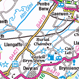
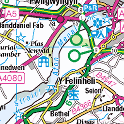
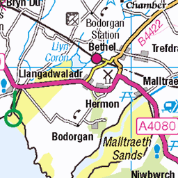
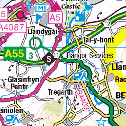
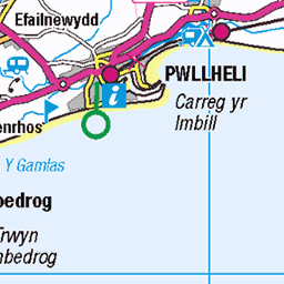
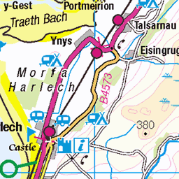
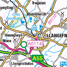
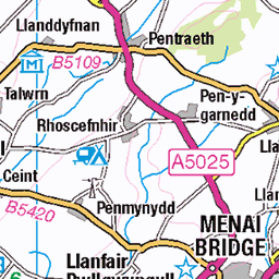
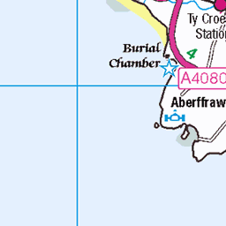
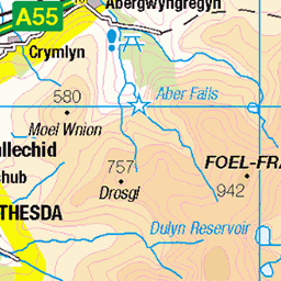
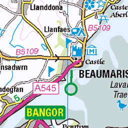
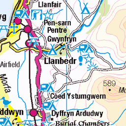
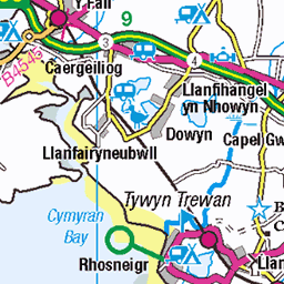
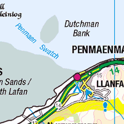
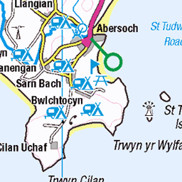
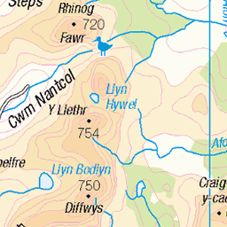
OS Map
This is OS mapping. In some areas, OpenStreetMap shows more footpaths
Spatial NI has online OSNI mapping. Click "Basemap Gallery" (4 squares icon at the top).
Now would be a good time for a cup of tea.


GPX Editor
Record map clicks
Reload map
Photos
Please tag your photos and upload them to the British and Irish Mountains group on Flickr
The other photos have been geo-tagged as on or around the summit. For less busy mountains, it can be a little hit and miss.
Llyn Cwm Dulyn (2)
North Wales
01-Apr-23 • Ian Gedge • flickr
britain uk wales cymru water lake llyn llyncwmdulyn northwales 53357714562
Llyn Cwm Dulyn
North Wales
01-Apr-23 • Ian Gedge • flickr
uk britain wales cymru lake llyn reservoir mountains northwales 52822343738
Bridge at Llyn Cwm Dulyn
North Wales
01-Apr-23 • Ian Gedge • flickr
uk britain wales northwales snowdonia mountains cymru 52863418724
IMG_2514
Taken with ViewRanger Skyline - Compass Heading : 250°, Version : 8.6.4(434), Field of View : 36.3, Device : iPhone8,1(11.4.1)
21-Aug-18 • ian1covkid • flickr
cae amos bothy garneddgoch 30314403738


IMG_2518
Taken with ViewRanger Skyline - Compass Heading : 244°, Version : 8.6.4(434), Field of View : 57.7, Device : iPhone8,1(11.4.1)
21-Aug-18 • ian1covkid • flickr
cae amos bothy garneddgoch 30314408818

Videos
The remains of a old stone quarry near Trefor in Gwynedd. The quarry was marked as disused on the 1888 map but was ...
Aerial footage of the Nantlle Ridge. A hell of a walk that offers everything. Snowdonia, Wales.
A lovely 4 miles walk to the Dulyn Reservoir. Easily accessible, fantastic views, perfect for a family or dog walk.
Notes
- Data: Database of British and Irish Hills v18.2
- Maps: We use OS mapping for England, Scotland, Wales, and the Isle of Man. Sadly, Channel Islands, Northern (OSNI) and Southern Ireland (OSI) mapping isn't available online, so we use Openstreetmap.