Hills of Britain and Ireland
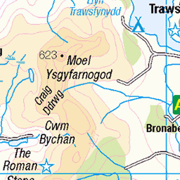
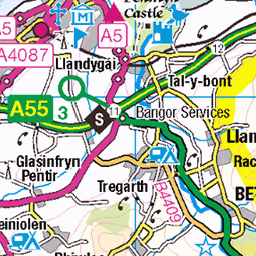
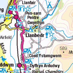
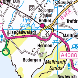
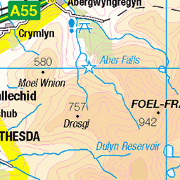
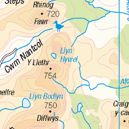
OS Map of Craig Cwm Silyn
Height: 734m / 2408ft • Prominence: 398m / 1306ft • Summit : windshelter on ancient cairn • Trip reports (hill-bagging)


Craig yr Ogof, Cwm Silyn, Eifionydd
12-Feb-24 • David Dear • flickr
wales snowdonia nantlle silyn eifionydd crags lakes mountains hills rock eryri 53532544714

Winter sunshine on the Nantlle Ridge, Snowdonia
12-Feb-24 • David Dear • flickr
wales cymru eifionydd snowdonia eryri nantlle snowdon mountains hills clouds snow 53637818765
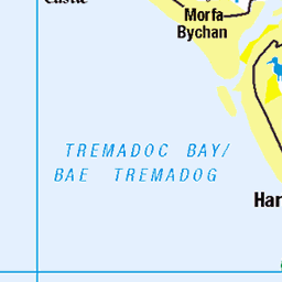
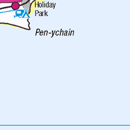
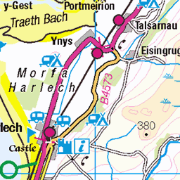
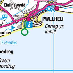
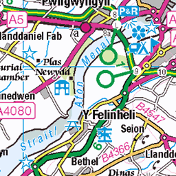
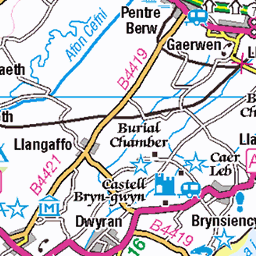
OS Map
This is OS mapping. In some areas, OpenStreetMap shows more footpaths
Spatial NI has online OSNI mapping. Click "Basemap Gallery" (4 squares icon at the top).
Now would be a good time for a cup of tea.

GPX Editor
Record map clicks
Reload map
Photos
Please tag your photos and upload them to the British and Irish Mountains group on Flickr
The other photos have been geo-tagged as on or around the summit. For less busy mountains, it can be a little hit and miss.
Craig yr Ogof, Cwm Silyn, Eifionydd
12-Feb-24 • David Dear • flickr
wales snowdonia nantlle silyn eifionydd crags lakes mountains hills rock eryri 53532544714
Winter sunshine on the Nantlle Ridge, Snowdonia
12-Feb-24 • David Dear • flickr
wales cymru eifionydd snowdonia eryri nantlle snowdon mountains hills clouds snow 53637818765


Videos
The Climbing Nomads - Vlog 13 - We go on an adventure climbing one of the great Welsh mountain routes. Outside Edge Route ...
Join us on our Snowdonia, heat wave Wild-Camp. We started the trip by parking at the Beddgelert forest. The car park here is free ...
Having been on Malcolm's bucket list for 35 years, it was hard to resist his idea to climb the top 50 rated climb outside Edge in ...
Aerial footage of the Nantlle Ridge. A hell of a walk that offers everything. Snowdonia, Wales.
A lovely 4 miles walk to the Dulyn Reservoir. Easily accessible, fantastic views, perfect for a family or dog walk.
Notes
- Data: Database of British and Irish Hills v18.2
- Maps: We use OS mapping for England, Scotland, Wales, and the Isle of Man. Sadly, Channel Islands, Northern (OSNI) and Southern Ireland (OSI) mapping isn't available online, so we use Openstreetmap.