Hills of Britain and Ireland
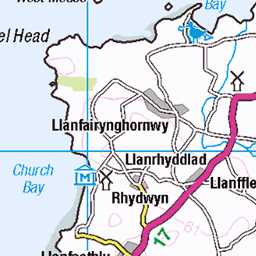
OS Map of Mynydd Anelog
Height: 191m / 628ft • Prominence: 151m / 495ft • Summit : rock 5m E of small cairn • Trip reports (hill-bagging)


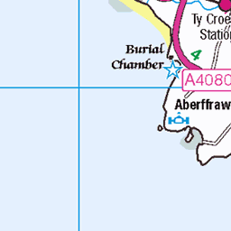
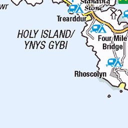
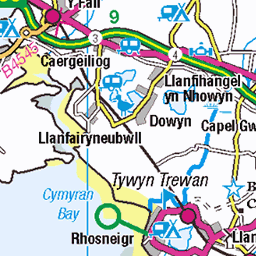
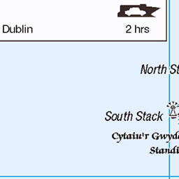
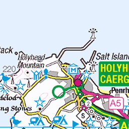
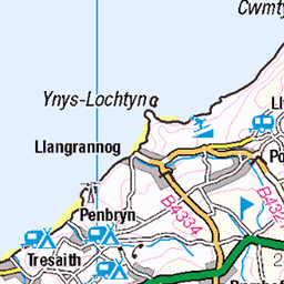
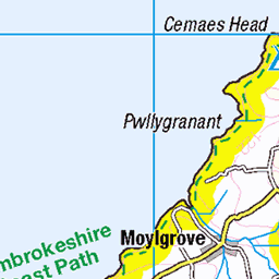
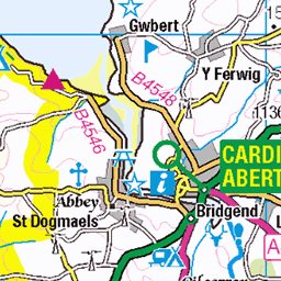
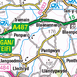
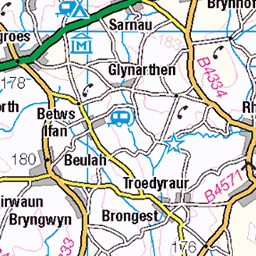
OS Map
This is OS mapping. In some areas, OpenStreetMap shows more footpaths
Spatial NI has online OSNI mapping. Click "Basemap Gallery" (4 squares icon at the top).
Now would be a good time for a cup of tea.


GPX Editor
Record map clicks
Reload map
Photos
Please tag your photos and upload them to the British and Irish Mountains group on Flickr
The other photos have been geo-tagged as on or around the summit. For less busy mountains, it can be a little hit and miss.


Videos
Walk from the car park below Mynydd Mawr on the Llyn Peninsula, then through Uwchmyndd and up to Mynydd Anelog; then on ...
A 9 mile walk from Aberdaron, initially heading west the route circles Mynydd Anelog and then follows the West Coast Path anti ...
Windy walk from Aberdaron along the headland to Porth Meudwy, then inland to Mynydd Anelog, then Porthor and through fields ...
20200830 - St Mary's Well - Aberdaron - Wales Coast Path.
This video has been made on behalf of a small village in North Wales, Aberdaron, which has quite an interesting history as it was ...
Notes
- Data: Database of British and Irish Hills v18.2
- Maps: We use OS mapping for England, Scotland, Wales, and the Isle of Man. Sadly, Channel Islands, Northern (OSNI) and Southern Ireland (OSI) mapping isn't available online, so we use Openstreetmap.