Hills of Britain and Ireland
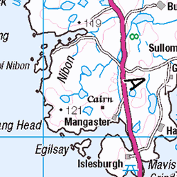
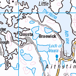
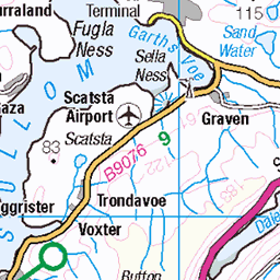
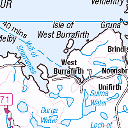
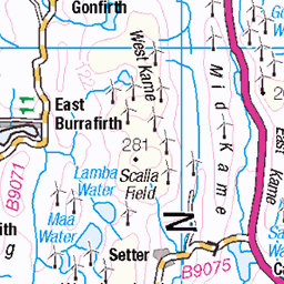
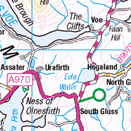
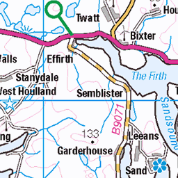
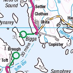
OS Map of Mid Ward
Height: 172m / 564ft • Prominence: 172m / 564ft • Summit : rock with perched cairn • Trip reports (hill-bagging)

Muckle Roe trigpoint
A day of clouds in the morning and sunshine in the afternoon. It was warm. We went for a walk from Brae to Muckle Roe and back over the hills. Three Tumps, a trigpoint, prehistory and the most northerly chippy in Britain. A top day out. Tired feet but happy.
24-Jun-23 • We travel the Spaceways • flickr
53038922166


Sheep's-bit
Nice to see as we don't really get this where we live.
24-Jun-23 • We travel the Spaceways • flickr
53038921661


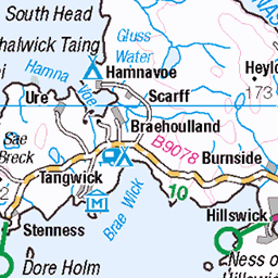
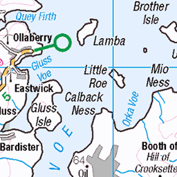
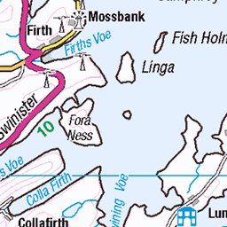
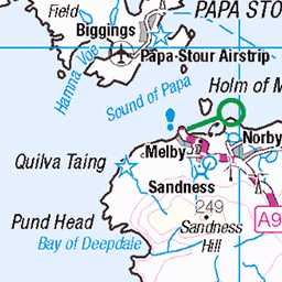
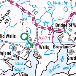
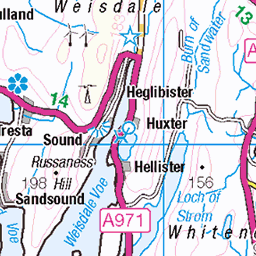
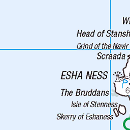
OS Map
This is OS mapping. In some areas, OpenStreetMap shows more footpaths
Spatial NI has online OSNI mapping. Click "Basemap Gallery" (4 squares icon at the top).
Now would be a good time for a cup of tea.

GPX Editor
Record map clicks
Reload map
Photos
Please tag your photos and upload them to the British and Irish Mountains group on Flickr
The other photos have been geo-tagged as on or around the summit. For less busy mountains, it can be a little hit and miss.
Muckle Roe trigpoint
A day of clouds in the morning and sunshine in the afternoon. It was warm. We went for a walk from Brae to Muckle Roe and back over the hills. Three Tumps, a trigpoint, prehistory and the most northerly chippy in Britain. A top day out. Tired feet but happy.
24-Jun-23 • We travel the Spaceways • flickr
53038922166
Sheep's-bit
Nice to see as we don't really get this where we live.
24-Jun-23 • We travel the Spaceways • flickr
53038921661

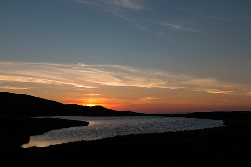

Candyfloss clouds over Shetland
brae scotland unitedkingdom shetland 30001903302

Evening at Otter Ayre beach
brae scotland unitedkingdom shetland 30032349721

1546 Mid Ward
Mid Field, Mid Ward and then Cumie to finish with Tricky Speirs after dinner. Name:Mid Ward Hill number:1546 Height:172m / 564ft Area:22: Shetland Islands Class:Ma Grid ref: HU 32009 65209 Summit feature:rock with perched cairn Drop:172m Col:Sea
25-May-13 • Dugswell2 • flickr
marilyn cairn shetlandislands p172 midward 9052589172
Videos
None found
Notes
- Data: Database of British and Irish Hills v18.2
- Maps: We use OS mapping for England, Scotland, Wales, and the Isle of Man. Sadly, Channel Islands, Northern (OSNI) and Southern Ireland (OSI) mapping isn't available online, so we use Openstreetmap.