Hills of Britain and Ireland
OS Map of Goatfell (Goat Fell)
Height: 875m / 2871ft • Prominence: 875m / 2871ft • Summit : very large boulder c.3m NE of trig point • Trip reports (hill-bagging)


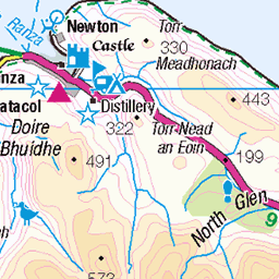
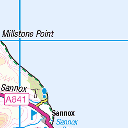
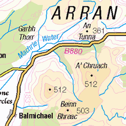
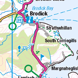
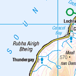
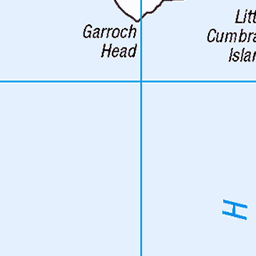
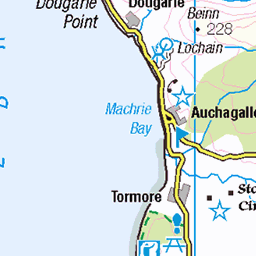
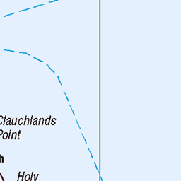
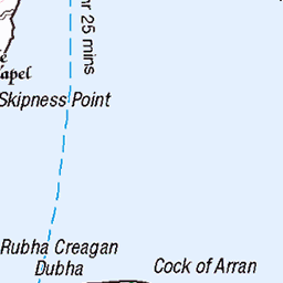
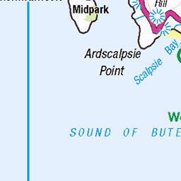
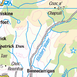
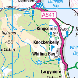
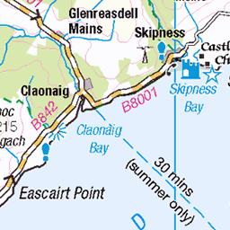
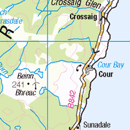
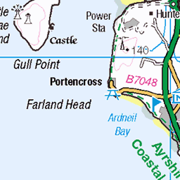
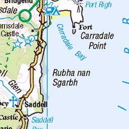
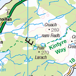
OS Map
This is OS mapping. In some areas, OpenStreetMap shows more footpaths
Spatial NI has online OSNI mapping. Click "Basemap Gallery" (4 squares icon at the top).
Now would be a good time for a cup of tea.
GPX Editor
Record map clicks
Reload map
Photos
Please tag your photos and upload them to the British and Irish Mountains group on Flickr
The other photos have been geo-tagged as on or around the summit. For less busy mountains, it can be a little hit and miss.


Videos
Trail run with Scott and Ian on a beautiful July day. Unfortunately cloudy on top off Goatfell, but that added to the mystery. A lovely ...
Family circular hike up Goatfell (874 m) on the Isle of Arran, Scotland. We ascended to top from the North side along a very steep ...
View from the summit of Goatfell in Arran.
Isle of Arran.
Goatfell is the highest peak of Isle of Arran. It is relatively easy to climb and views from the top are unforgettable, so it is a very ...
Notes
- Data: Database of British and Irish Hills v18.2
- Maps: We use OS mapping for England, Scotland, Wales, and the Isle of Man. Sadly, Channel Islands, Northern (OSNI) and Southern Ireland (OSI) mapping isn't available online, so we use Openstreetmap.