Hills of Britain and Ireland
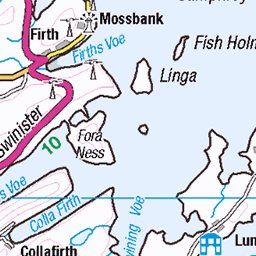
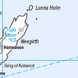
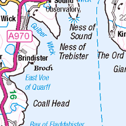
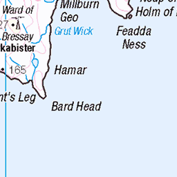
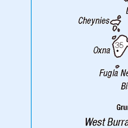
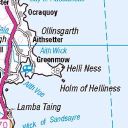
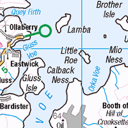
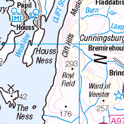
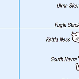
OS Map of North Isle of Gletness

location, location etc
Shetland Isles trip for GUVS. _DSC9741
sony shetlandisles sonyalpha ronniebarron sonya7ii sonyilcea7m2 sonyilce7m2 ronniebarronphotography house location lingness 52172509940


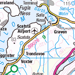
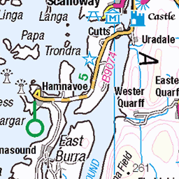
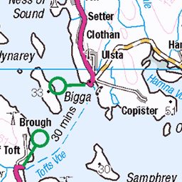
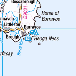
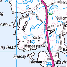
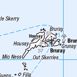
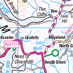
OS Map
This is OS mapping. In some areas, OpenStreetMap shows more footpaths
Spatial NI has online OSNI mapping. Click "Basemap Gallery" (4 squares icon at the top).
Now would be a good time for a cup of tea.


GPX Editor
Record map clicks
Reload map
Photos
Please tag your photos and upload them to the British and Irish Mountains group on Flickr
The other photos have been geo-tagged as on or around the summit. For less busy mountains, it can be a little hit and miss.
location, location etc
Shetland Isles trip for GUVS. _DSC9741
sony shetlandisles sonyalpha ronniebarron sonya7ii sonyilcea7m2 sonyilce7m2 ronniebarronphotography house location lingness 52172509940

Taking Shelter
28-Aug-17 • Life@60DegreesNorth • flickr
shetlandponies gletness shetland 36704185442


Glet Ness
Looking towards Hawks Ness
24-Aug-16 • nz_willowherb • flickr
scotland shetland gletness hawksness 29352697316
Videos
SFA20200004.7 Synopsis: Most of this footage was recorded by John Irvine, with some additional filming by his brother Derek.
View from my house! September always has spectacular sunsets on show. How about this!
Notes
- Data: Database of British and Irish Hills v18.2
- Maps: We use OS mapping for England, Scotland, Wales, and the Isle of Man. Sadly, Channel Islands, Northern (OSNI) and Southern Ireland (OSI) mapping isn't available online, so we use Openstreetmap.