Hills of Britain and Ireland
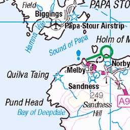
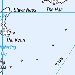
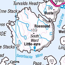
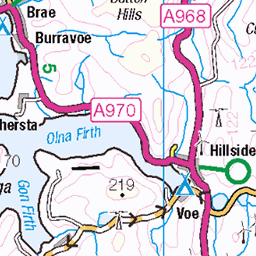
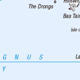
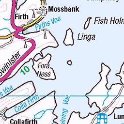
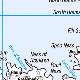
OS Map of Little Havra

Remains of a farmstead at North Ham on South Havra, Shetland Islands in 2010
Photographer: RCAHMS Image reference: DP 081268 © RCAHMS See more images of North Ham farmstead: canmore.rcahms.gov.uk/en/site/307254/details/south+havra+north+ham/" rel="nofollow canmore.rcahms.gov.uk/en/site/307254/details/south+havra+...
15-Jun-10 • Historic Environment Scotland • flickr
landscape scotland ruins farm aerial canmore shetland aerialphotograph farmstead shetlandislands rcahms northham southhavra dp081268 14999528365
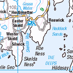
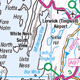
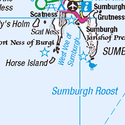
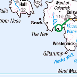
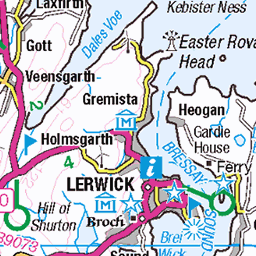
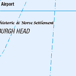
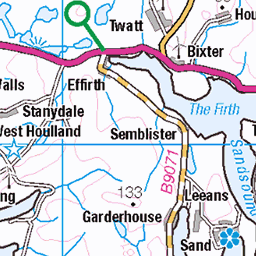
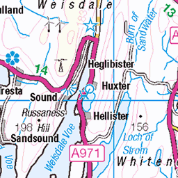
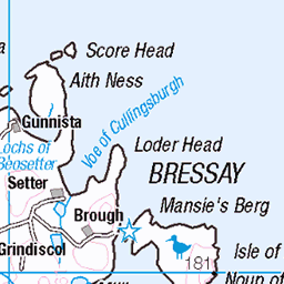
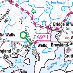
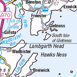
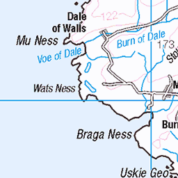
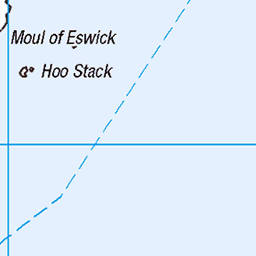
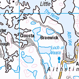
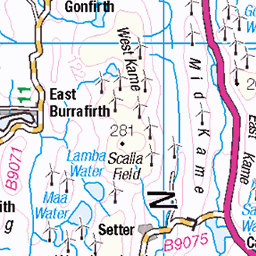
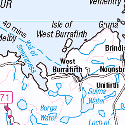
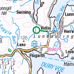
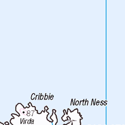
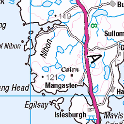
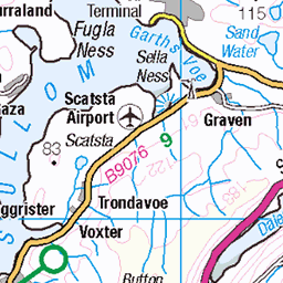
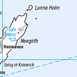
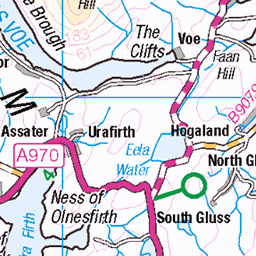
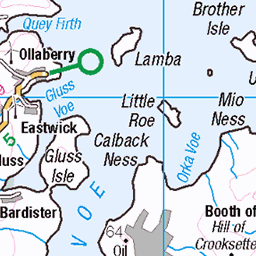
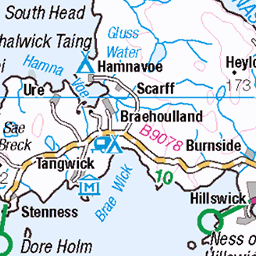
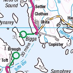
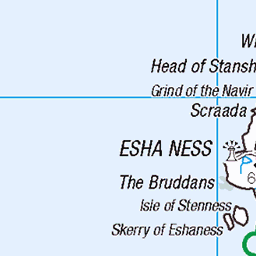
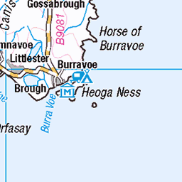
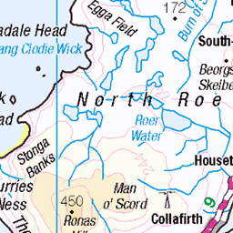
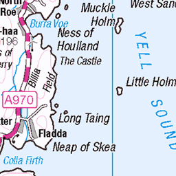
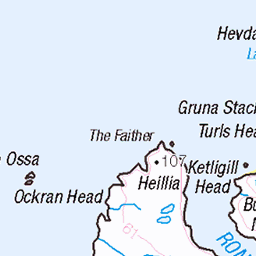
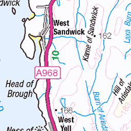
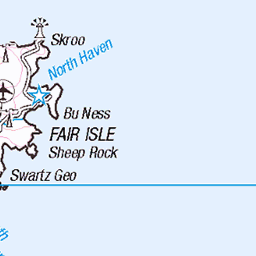
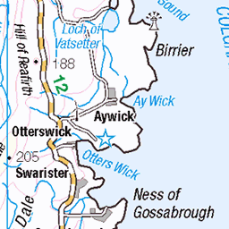
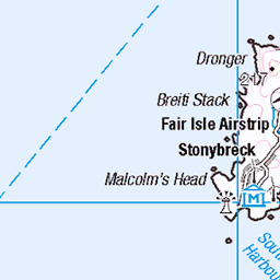
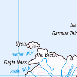
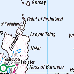
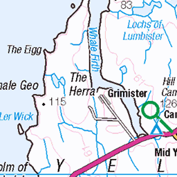
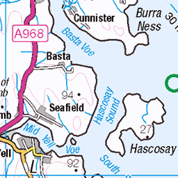
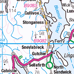
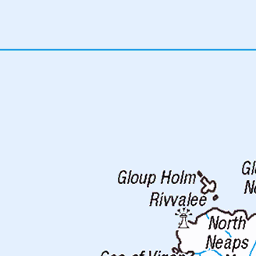
OS Map
This is OS mapping. In some areas, OpenStreetMap shows more footpaths
Spatial NI has online OSNI mapping. Click "Basemap Gallery" (4 squares icon at the top).
Now would be a good time for a cup of tea.


GPX Editor
Record map clicks
Reload map
Photos
Please tag your photos and upload them to the British and Irish Mountains group on Flickr
The other photos have been geo-tagged as on or around the summit. For less busy mountains, it can be a little hit and miss.
Remains of a farmstead at North Ham on South Havra, Shetland Islands in 2010
Photographer: RCAHMS Image reference: DP 081268 © RCAHMS See more images of North Ham farmstead: canmore.rcahms.gov.uk/en/site/307254/details/south+havra+north+ham/" rel="nofollow canmore.rcahms.gov.uk/en/site/307254/details/south+havra+...
15-Jun-10 • Historic Environment Scotland • flickr
landscape scotland ruins farm aerial canmore shetland aerialphotograph farmstead shetlandislands rcahms northham southhavra dp081268 14999528365
Videos
St Ninian's Isle a small tied island connected by the largest tombolo in the UK to the south-western coast of the Mainland, ...
Notes
- Data: Database of British and Irish Hills v18.2
- Maps: We use OS mapping for England, Scotland, Wales, and the Isle of Man. Sadly, Channel Islands, Northern (OSNI) and Southern Ireland (OSI) mapping isn't available online, so we use Openstreetmap.