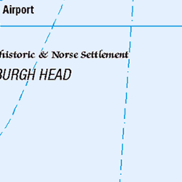
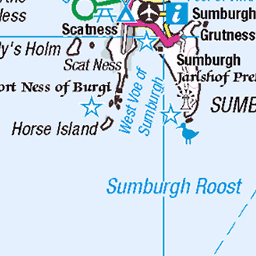
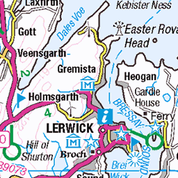
Hills of Britain and Ireland
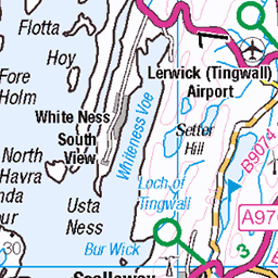
OS Map of Mid Field


Moussa
29-Jul-24 • Luís Rodriguez Baena • flickr
paisajes iphone bn lrbaena mousa islasshetland landscapes escocia reinounido 54130249936

Sterna paradisaea
29-Jul-24 • Luís Rodriguez Baena • flickr
islasshetland avesmarinas aves sternaparadisaea mousa charránártico avesacuáticas nombrescientíficos artictern lrbaena birds pájaros escocia reinounido 54130574258

Moussa
29-Jul-24 • Luís Rodriguez Baena • flickr
paisajes paisajesmarinos iphone lrbaena mousa islasshetland landscapes escocia reinounido 54130250061

Sterna paradisaea
29-Jul-24 • Luís Rodriguez Baena • flickr
islasshetland avesmarinas aves sternaparadisaea mousa charránártico avesacuáticas nombrescientíficos artictern lrbaena birds pájaros escocia reinounido 54130636434
OS Map
This is OS mapping. In some areas, OpenStreetMap shows more footpaths
Spatial NI has online OSNI mapping. Click "Basemap Gallery" (4 squares icon at the top).
Now would be a good time for a cup of tea.


GPX Editor
Record map clicks
Reload map
Photos
Please tag your photos and upload them to the British and Irish Mountains group on Flickr
The other photos have been geo-tagged as on or around the summit. For less busy mountains, it can be a little hit and miss.
Moussa
29-Jul-24 • Luís Rodriguez Baena • flickr
paisajes iphone bn lrbaena mousa islasshetland landscapes escocia reinounido 54130249936
Sterna paradisaea
29-Jul-24 • Luís Rodriguez Baena • flickr
islasshetland avesmarinas aves sternaparadisaea mousa charránártico avesacuáticas nombrescientíficos artictern lrbaena birds pájaros escocia reinounido 54130574258
Moussa
29-Jul-24 • Luís Rodriguez Baena • flickr
paisajes paisajesmarinos iphone lrbaena mousa islasshetland landscapes escocia reinounido 54130250061
Sterna paradisaea
29-Jul-24 • Luís Rodriguez Baena • flickr
islasshetland avesmarinas aves sternaparadisaea mousa charránártico avesacuáticas nombrescientíficos artictern lrbaena birds pájaros escocia reinounido 54130636434


British Isles 2024, Viking Neptune, Mousa Island Exploration welcome sign
21-May-24 • The Island Kings • flickr
53741984701

British Isles 2024, Viking Neptune, Mousa Island Exploration
21-May-24 • The Island Kings • flickr
53742309459

British Isles 2024, Viking Neptune, Mousa Island Exploration
21-May-24 • The Island Kings • flickr
53741053787

12085 Mid Field
Climbed up quietly from the NE with wall to wall sunshine. Name:Mid Field Hill number:12085 Height:55m / 180ft Parent (Ma):none RHB Section:22: Shetland Islands County/UA:Shetland Islands (UA) Island:Mousa Maritime area:Shetland - South Class:Tump (0-99m), SIB Grid ref:HU 46043 24077 Summit feature:no feature Drop:55m Col:Sea Observations:flat summit area Survey:Abney level
07-Jun-19 • Dugswell2 • flickr
midfield p55 tump sib mousa 48131082768


Videos
The sparrow-sized European storm-petrel is the smallest seabird in the Atlantic, nesting only on the most remote islands, around ...
Notes
- Data: Database of British and Irish Hills v18.2
- Maps: We use OS mapping for England, Scotland, Wales, and the Isle of Man. Sadly, Channel Islands, Northern (OSNI) and Southern Ireland (OSI) mapping isn't available online, so we use Openstreetmap.