Hills of Britain and Ireland
OS Map of North Ward
Height: 82m / 269ft • Prominence: 82m / 269ft • Summit : cairn on mound • Trip reports (hill-bagging)


11993 North Ward a
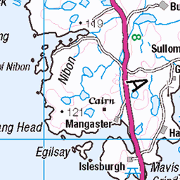
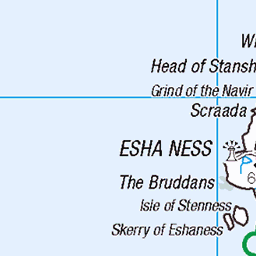
Name:North Ward Hill number:11993 Height:82m / 269ft Parent (Ma):none RHB Section:22: Shetland Islands County/UA:Shetland Islands (UA) Island:Papa Little Maritime area:Shetland - West Class:Tump (0-99m), SIB Grid ref:HU 33992 61365 Summit feature:cairn on mound Drop:82m Col:Sea
14-Jun-19 • Dugswell2 • flickr
papalittle northward p82 tump sib hhs 48158353307

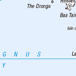
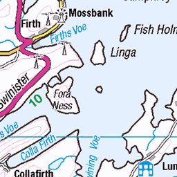
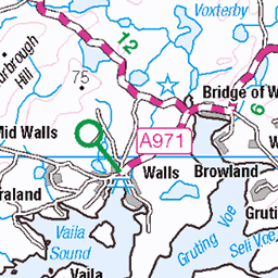
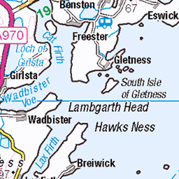
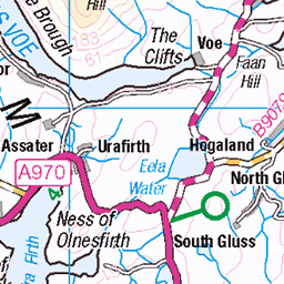
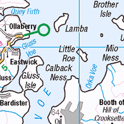
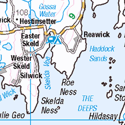
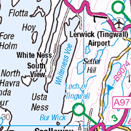
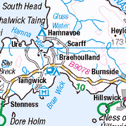
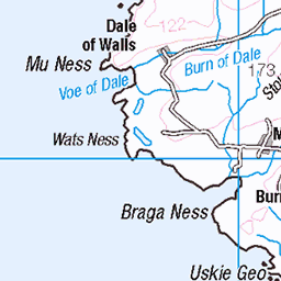
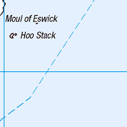
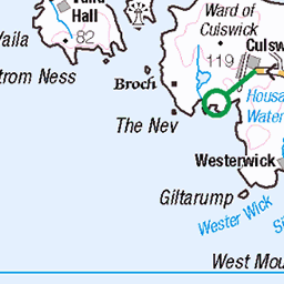
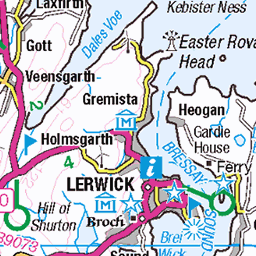
OS Map
This is OS mapping. In some areas, OpenStreetMap shows more footpaths
Spatial NI has online OSNI mapping. Click "Basemap Gallery" (4 squares icon at the top).
Now would be a good time for a cup of tea.
GPX Editor
Record map clicks
Reload map
Photos
Please tag your photos and upload them to the British and Irish Mountains group on Flickr
The other photos have been geo-tagged as on or around the summit. For less busy mountains, it can be a little hit and miss.
11993 North Ward a
Name:North Ward Hill number:11993 Height:82m / 269ft Parent (Ma):none RHB Section:22: Shetland Islands County/UA:Shetland Islands (UA) Island:Papa Little Maritime area:Shetland - West Class:Tump (0-99m), SIB Grid ref:HU 33992 61365 Summit feature:cairn on mound Drop:82m Col:Sea
14-Jun-19 • Dugswell2 • flickr
papalittle northward p82 tump sib hhs 48158353307
Videos
None found
Notes
- Data: Database of British and Irish Hills v18.2
- Maps: We use OS mapping for England, Scotland, Wales, and the Isle of Man. Sadly, Channel Islands, Northern (OSNI) and Southern Ireland (OSI) mapping isn't available online, so we use Openstreetmap.