Hills of Britain and Ireland
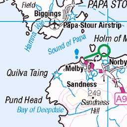
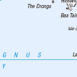
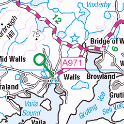
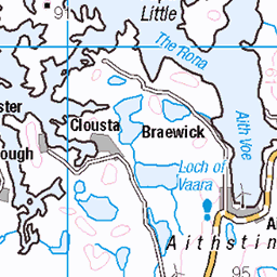
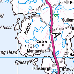
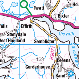
OS Map of Virda Field
Height: 87m / 285ft • Prominence: 87m / 285ft • Summit : boulder in shelter cairn 3m SE of trig point • Trip reports (hill-bagging)

Lamba Ness view (HU 16617 62040) at lunch stop, on the Papa Stour paddle on 22 July 2024.
22-Jul-24 • Shandchem • flickr
silwick shetland isles sea kayak paddle 53914052853

Lamba Ness view (HU 16617 62040) at lunch stop, on the Papa Stour paddle on 22 July 2024.
22-Jul-24 • Shandchem • flickr
silwick shetland isles sea kayak paddle 53913806141

Lamba Ness view (HU 16617 62040) at lunch stop, on the Papa Stour paddle on 22 July 2024. Green mineral sequence visible at the base of the glacial till.
22-Jul-24 • Shandchem • flickr
silwick shetland isles sea kayak paddle 53912919127

Lamba Ness view (HU 16617 62040) at lunch stop, on the Papa Stour paddle on 22 July 2024. Green mineral sequence visible at the base of the glacial till.
22-Jul-24 • Shandchem • flickr
silwick shetland isles sea kayak paddle 53914253680

Lamba Ness view (HU 16617 62040) at lunch stop, on the Papa Stour paddle on 22 July 2024. Green mineral sequence visible at the base of the glacial till.
22-Jul-24 • Shandchem • flickr
silwick shetland isles sea kayak paddle 53914157309

Lamba Ness view (HU 16617 62040) at lunch stop, on the Papa Stour paddle on 22 July 2024.
22-Jul-24 • Shandchem • flickr
silwick shetland isles sea kayak paddle 53914253650
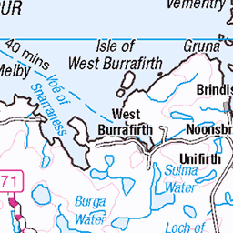
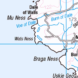
OS Map
This is OS mapping. In some areas, OpenStreetMap shows more footpaths
Spatial NI has online OSNI mapping. Click "Basemap Gallery" (4 squares icon at the top).
Now would be a good time for a cup of tea.


GPX Editor
Record map clicks
Reload map
Photos
Please tag your photos and upload them to the British and Irish Mountains group on Flickr
The other photos have been geo-tagged as on or around the summit. For less busy mountains, it can be a little hit and miss.
Lamba Ness view (HU 16617 62040) at lunch stop, on the Papa Stour paddle on 22 July 2024.
22-Jul-24 • Shandchem • flickr
silwick shetland isles sea kayak paddle 53914052853
Lamba Ness view (HU 16617 62040) at lunch stop, on the Papa Stour paddle on 22 July 2024.
22-Jul-24 • Shandchem • flickr
silwick shetland isles sea kayak paddle 53913806141
Lamba Ness view (HU 16617 62040) at lunch stop, on the Papa Stour paddle on 22 July 2024. Green mineral sequence visible at the base of the glacial till.
22-Jul-24 • Shandchem • flickr
silwick shetland isles sea kayak paddle 53912919127
Lamba Ness view (HU 16617 62040) at lunch stop, on the Papa Stour paddle on 22 July 2024. Green mineral sequence visible at the base of the glacial till.
22-Jul-24 • Shandchem • flickr
silwick shetland isles sea kayak paddle 53914253680
Lamba Ness view (HU 16617 62040) at lunch stop, on the Papa Stour paddle on 22 July 2024. Green mineral sequence visible at the base of the glacial till.
22-Jul-24 • Shandchem • flickr
silwick shetland isles sea kayak paddle 53914157309
Lamba Ness view (HU 16617 62040) at lunch stop, on the Papa Stour paddle on 22 July 2024.
22-Jul-24 • Shandchem • flickr
silwick shetland isles sea kayak paddle 53914253650

Lamba Ness view (HU 16617 62040) at lunch stop, on the Papa Stour paddle on 22 July 2024.
22-Jul-24 • Shandchem • flickr
silwick shetland isles sea kayak paddle 53914253595

Aesha Head natural arch, Papa Stour (NGR HU 14845 60971) on 22 July 2024.
22-Jul-24 • Shandchem • flickr
papa stour aesha head natural arch shetland isles sea kayak 53911877023

Aesha Head natural arch, Papa Stour (NGR HU 14845 60971) on 22 July 2024.
22-Jul-24 • Shandchem • flickr
papa stour aesha head natural arch shetland isles sea kayak 53911634056

Aesha Head natural arch, Papa Stour (NGR HU 14845 60971) on 22 July 2024.
22-Jul-24 • Shandchem • flickr
papa stour aesha head natural arch shetland isles sea kayak 53911634036
Videos
None found
Notes
- Data: Database of British and Irish Hills v18.2
- Maps: We use OS mapping for England, Scotland, Wales, and the Isle of Man. Sadly, Channel Islands, Northern (OSNI) and Southern Ireland (OSI) mapping isn't available online, so we use Openstreetmap.