Hills of Britain and Ireland
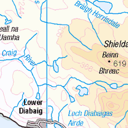
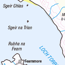
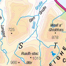
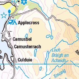
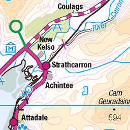
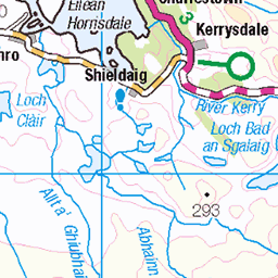
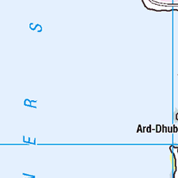
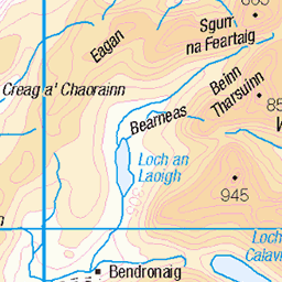
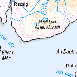
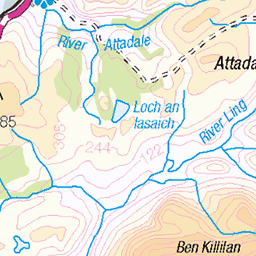
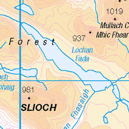
OS Map of Ben Shieldaig
Height: 534m / 1752ft • Prominence: 403m / 1322ft • Summit : rock by cairn • Trip reports (hill-bagging)


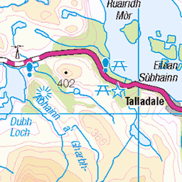
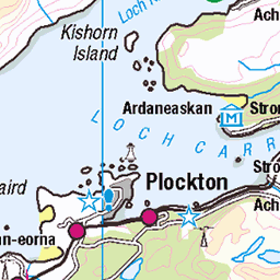
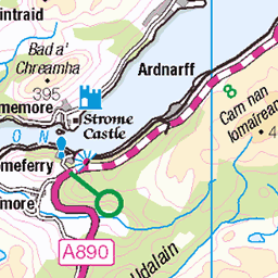
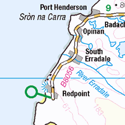
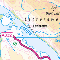
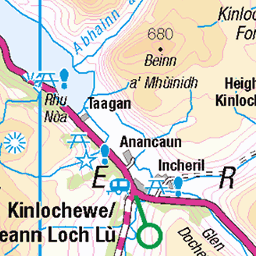
OS Map
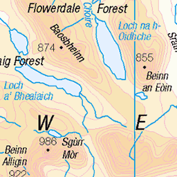
This is OS mapping. In some areas, OpenStreetMap shows more footpaths
Spatial NI has online OSNI mapping. Click "Basemap Gallery" (4 squares icon at the top).
Now would be a good time for a cup of tea.

GPX Editor
Record map clicks
Reload map
Photos
Please tag your photos and upload them to the British and Irish Mountains group on Flickr
The other photos have been geo-tagged as on or around the summit. For less busy mountains, it can be a little hit and miss.

Ob Mheallaidh
torridon upperlochtorridon coastwalk350 coast scotland westerross 51750086350

Ob Mheallaidh
torridon upperlochtorridon coastwalk350 coast scotland westerross 51749203966

Scots2018_1965
Upper Loch Torridon, Shieldaig, Strathcarron, Highland, Scotland, UK
16-May-18 • wallacefsk • flickr
gb greatbritain highland scotland shieldaig strathcarron uk unitedkingdom 英國 蘇格蘭 54387474025

Scots2018_1966
Panorama View of Upper Loch Torridon, Shieldaig, Strathcarron, Highland, Scotland, UK
16-May-18 • wallacefsk • flickr
gb greatbritain highland panorama scotland shieldaig strathcarron uk unitedkingdom 英國 蘇格蘭 54387289234
Videos
Panoramic shot from the top of Ben Shieldaig.
Tour Scotland travel video, with Scottish music, of Shieldaig on the edge of Loch Shieldaig, an offshoot of Loch Torridon, on visit to ...
Torridon and Shieldaig mountains in late Winter, featuring Liathach, Beiin Eighe, Beinn Alligin and Baosbheinn.
Best views from 3mins onwards.
Subscribe here https://www.youtube.com/channel/UCkwLeL6t0XEiGiY4T1wv9OQ?sub_confirmation=1 The village was founded ...
Notes
- Data: Database of British and Irish Hills v18.2
- Maps: We use OS mapping for England, Scotland, Wales, and the Isle of Man. Sadly, Channel Islands, Northern (OSNI) and Southern Ireland (OSI) mapping isn't available online, so we use Openstreetmap.