Hills of Britain and Ireland
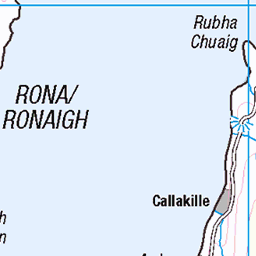
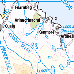
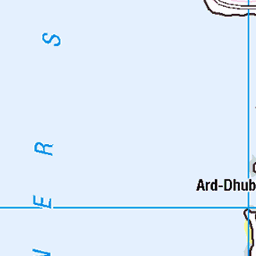
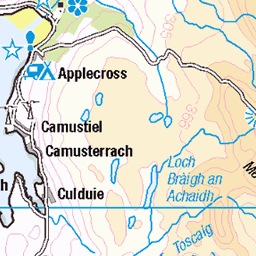
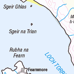
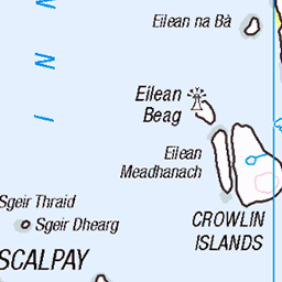
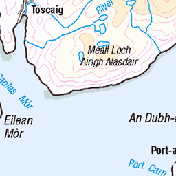
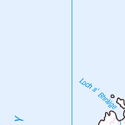
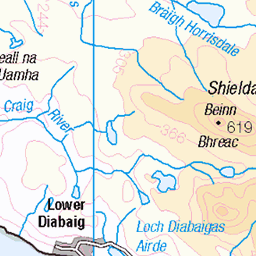
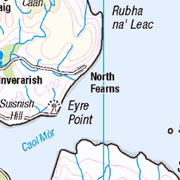
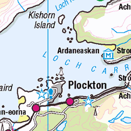
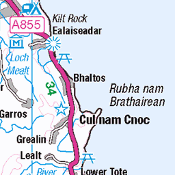
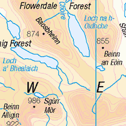
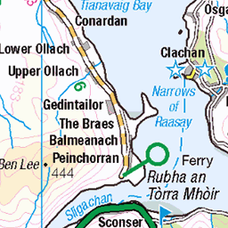
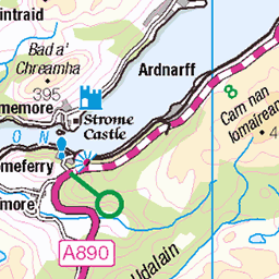
OS Map of Beinn a' Chlachain (Meall an Doireachain)
Height: 626m / 2053ft • Prominence: 373m / 1224ft • Summit : rock 8m S of trig point • Trip reports (hill-bagging)


Waterfall-2
16-Mar-19 • AnnieMacD • flickr
waterfall applecross scotland westerross beinnachlachain 47397752161

Beinn a'Chlachain
The summit is up there somewhere!
30-Oct-16 • AnnieMacD • flickr
applecross autumn beinnachlachain clouds mist mountains scotland westerross 30657526776

Beinn a'Chlachain summit view!
30-Oct-16 • AnnieMacD • flickr
applecross autumn beinnachlachain clouds mist mountains scotland summit westerross 30397010780
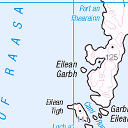
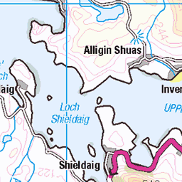
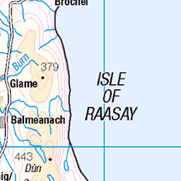
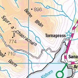
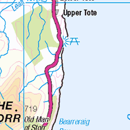
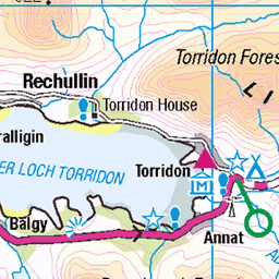
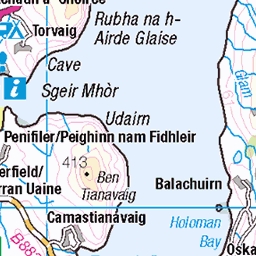
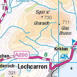
OS Map
This is OS mapping. In some areas, OpenStreetMap shows more footpaths
Spatial NI has online OSNI mapping. Click "Basemap Gallery" (4 squares icon at the top).
Now would be a good time for a cup of tea.
GPX Editor
Record map clicks
Reload map
Photos
Please tag your photos and upload them to the British and Irish Mountains group on Flickr
The other photos have been geo-tagged as on or around the summit. For less busy mountains, it can be a little hit and miss.
Waterfall-2
16-Mar-19 • AnnieMacD • flickr
waterfall applecross scotland westerross beinnachlachain 47397752161
Beinn a'Chlachain
The summit is up there somewhere!
30-Oct-16 • AnnieMacD • flickr
applecross autumn beinnachlachain clouds mist mountains scotland westerross 30657526776
Beinn a'Chlachain summit view!
30-Oct-16 • AnnieMacD • flickr
applecross autumn beinnachlachain clouds mist mountains scotland summit westerross 30397010780


Into the Mist - Beinn a'Chlachain
13-Mar-16 • AnnieMacD • flickr
mountains scotland westerross applecross beinnachlachain 25464582500

Applecross Bay from Beinn a'Chlachain
13-Mar-16 • AnnieMacD • flickr
mountains scotland westerross applecross hartfield applecrossbay beinnachlachain 25134844424

Beinn a'Chlachain waterfalls
On Allt a'Choire Glas.
28-Feb-16 • AnnieMacD • flickr
scotland unitedkingdom gb applecross 25007770559

Beinn a'Chlachain waterfalls
On Allt a'Choire Glas.
28-Feb-16 • AnnieMacD • flickr
scotland unitedkingdom gb applecross 24748628593
Videos
None found
Notes
- Data: Database of British and Irish Hills v18.2
- Maps: We use OS mapping for England, Scotland, Wales, and the Isle of Man. Sadly, Channel Islands, Northern (OSNI) and Southern Ireland (OSI) mapping isn't available online, so we use Openstreetmap.