Hills of Britain and Ireland
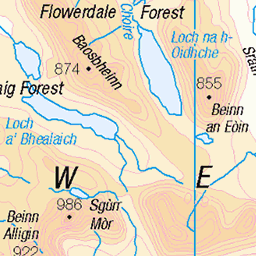
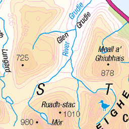
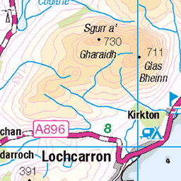
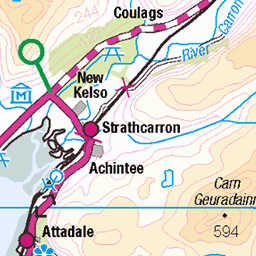
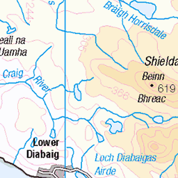
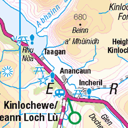
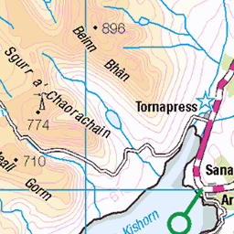
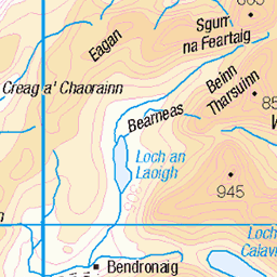
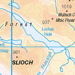
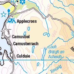
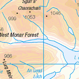
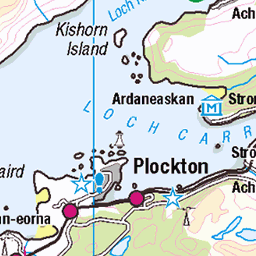
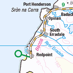
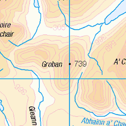
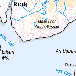
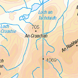
OS Map of Beinn na h-Eaglaise


Torridon
27-May-23 • Dmitry Djouce • flickr
scotland highlands mountain hill landscape nature 52951748657


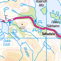
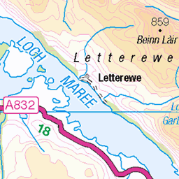
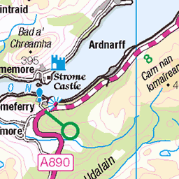
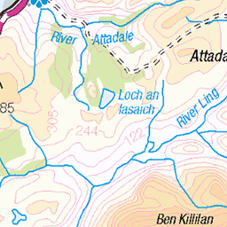
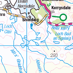
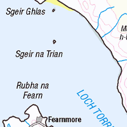
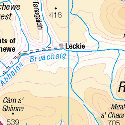
OS Map
This is OS mapping. In some areas, OpenStreetMap shows more footpaths
Spatial NI has online OSNI mapping. Click "Basemap Gallery" (4 squares icon at the top).
Now would be a good time for a cup of tea.

GPX Editor
Record map clicks
Reload map
Photos
Please tag your photos and upload them to the British and Irish Mountains group on Flickr
The other photos have been geo-tagged as on or around the summit. For less busy mountains, it can be a little hit and miss.
Torridon
27-May-23 • Dmitry Djouce • flickr
scotland highlands mountain hill landscape nature 52951748657


Tyred Out in Torridon
Continental Trail Kings ....an inner tube, sticky plasters, chewing gum and TLC will get me down right?
07-May-17 • Spiritu Libero • flickr
nikond810 nikkor2485mmf3545gedvrlens continentaltrailking torridon mtb 34575532442
Videos
We set out to climb Beinn na h-Eaglaise, but when we got there Sarah didn't feel confident with the scramble, so we decided not to ...
Panoramic shot from the top of Beinn na h-Eaglaise.
Notes
- Data: Database of British and Irish Hills v18.2
- Maps: We use OS mapping for England, Scotland, Wales, and the Isle of Man. Sadly, Channel Islands, Northern (OSNI) and Southern Ireland (OSI) mapping isn't available online, so we use Openstreetmap.