Hills of Britain and Ireland
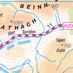
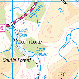
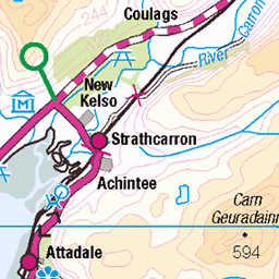
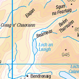
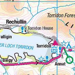
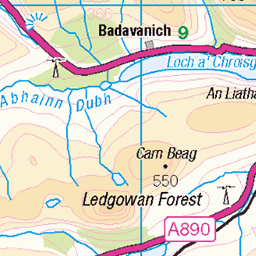
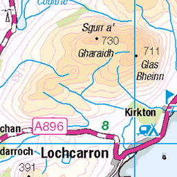
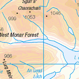
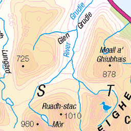
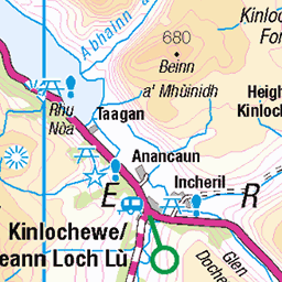
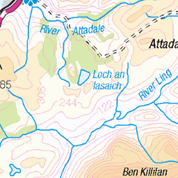
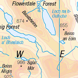
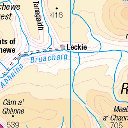
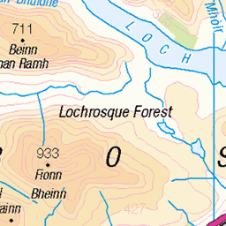
OS Map of Fuar Tholl
Height: 907m / 2976ft • Prominence: 242m / 794ft • Summit : decaying trig point • Trip reports (hill-bagging)

Mainreachan buttress
On Fuar Tholl looking across the valley at Beinn Liath Mhor.
06-Jul-18 • OutdoorMonkey • flickr
scotland torridon mountain peak countryside outside outdoor rural nature natural scenic scenery fuartholl pano panorama panoramic 43346187591

Fuar Tholl view of Sgorr Ruadh and Beinn Mhor Liath
09-Jun-16 • Stone Country Bouldering • flickr
ross wester fuar lochcarron tholl 27575267215

Torridonian sandstone lichen
09-Jun-16 • Stone Country Bouldering • flickr
lichen colourful torridon 27540325066

Torridon - August 2015 #2
Maol Chean-dearg from Fuar Tholl
mountain landscape scotland torridon munro 19979977324


Torridon - August 2015 #1
View west from Fuar Tholl
mountain landscape scotland torridon munro 20409132528
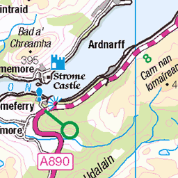
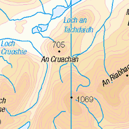
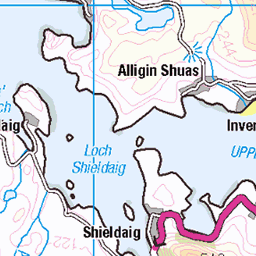
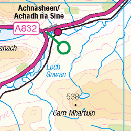
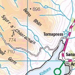
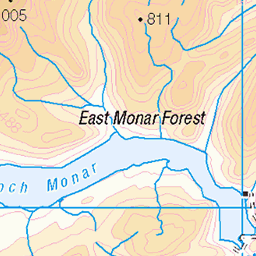
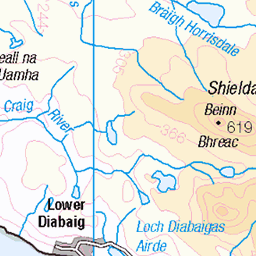
OS Map
This is OS mapping. In some areas, OpenStreetMap shows more footpaths
Spatial NI has online OSNI mapping. Click "Basemap Gallery" (4 squares icon at the top).
Now would be a good time for a cup of tea.

GPX Editor
Record map clicks
Reload map
Photos
Please tag your photos and upload them to the British and Irish Mountains group on Flickr
The other photos have been geo-tagged as on or around the summit. For less busy mountains, it can be a little hit and miss.
Mainreachan buttress
On Fuar Tholl looking across the valley at Beinn Liath Mhor.
06-Jul-18 • OutdoorMonkey • flickr
scotland torridon mountain peak countryside outside outdoor rural nature natural scenic scenery fuartholl pano panorama panoramic 43346187591
Fuar Tholl view of Sgorr Ruadh and Beinn Mhor Liath
09-Jun-16 • Stone Country Bouldering • flickr
ross wester fuar lochcarron tholl 27575267215
Torridonian sandstone lichen
09-Jun-16 • Stone Country Bouldering • flickr
lichen colourful torridon 27540325066
Torridon - August 2015 #2
Maol Chean-dearg from Fuar Tholl
mountain landscape scotland torridon munro 19979977324
Torridon - August 2015 #1
View west from Fuar Tholl
mountain landscape scotland torridon munro 20409132528

Torridon - August 2015 #4
Maol Chean-dearg from Fuar Tholl
mountain landscape scotland torridon munro 20418114490

Descending from Fuar Tholl
This hill is also known as Wellington's Nose due to its profile. From the descent you can see An Ruadh-stac and Maol Chean-dearg with Beinn Bhan behind. Skye and Harris can also been seen in the distance on the right.
15-Nov-14 • AnnieMacD • flickr
mountains scotland unitedkingdom munros westerross achnashellach strathcarron maolcheandearg fuartholl anruadhstac 15869106605

Descending Fuar Tholl
Part of the Beinn Liath Mhor ridge from the descent.
15-Nov-14 • AnnieMacD • flickr
mountains scotland unitedkingdom munros westerross achnashellach strathcarron beinnliathmhor fuartholl 15249463283

Videos
An evening hike to the Corbett Fuar Tholl, near Achnashellach. Solo Hike #torridon #hiking #scotland.
Hillwalking in Torridon. Fuar Tholl a Corbett, 907m.
7th July 2020 - A few drone video clips from today, our first outing outwith our local area since we'll before March. There was some ...
Yup i know i got mixed up with the month = its August ⁉️ Park at the layby on the A890 opposite the telephone box and the ...
Sgòrr nan Lochan Uaine and Sgùrr Dubh, near Torridon. Route Description ...
Notes
- Data: Database of British and Irish Hills v18.2
- Maps: We use OS mapping for England, Scotland, Wales, and the Isle of Man. Sadly, Channel Islands, Northern (OSNI) and Southern Ireland (OSI) mapping isn't available online, so we use Openstreetmap.