Hills of Britain and Ireland
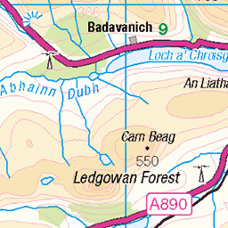
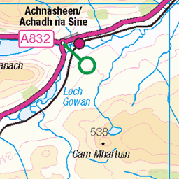
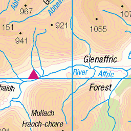
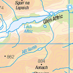
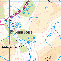
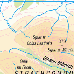
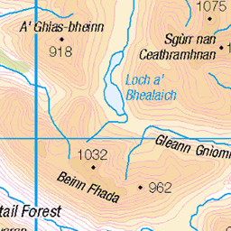
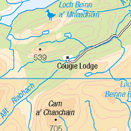
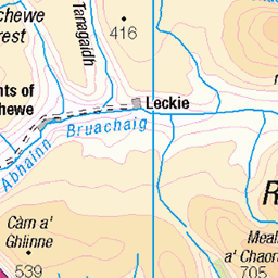
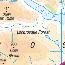
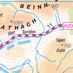
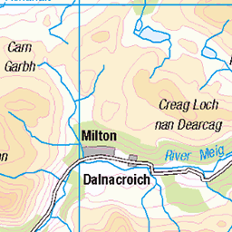
OS Map of Meallan Odhar Doire nan Gillean
Height: 599m / 1965ft • Prominence: 177m / 581ft • Summit : large boulder • Trip reports (hill-bagging)


Misgeach Power Station discharging compensation water, Loch Monar, near Glen Strathfarrer, Scotland
Misgeach © All rights reserved
31-Mar-13 • David May • flickr
rainbow hydro sse compensation water ice pilgrims pilgrim way long distance walk glen strathfarrer renewable frost winter explore single track reservoir dam culligran deanie power station turbine pipe volume force discharge private locked curfew gate cold prism スコットランド skotland schotland skotlanti escocia alba schottland scozia skottland scotland morar catchment 8606432175
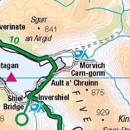
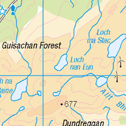
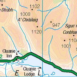
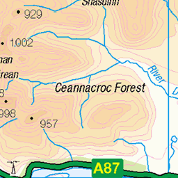
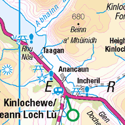
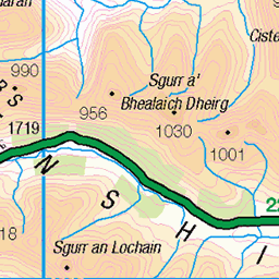
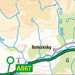
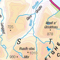
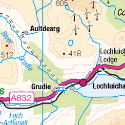
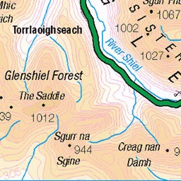
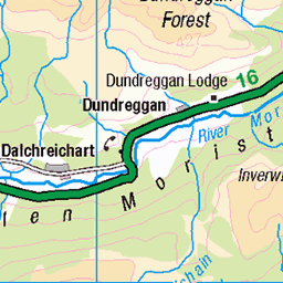
OS Map
This is OS mapping. In some areas, OpenStreetMap shows more footpaths
Spatial NI has online OSNI mapping. Click "Basemap Gallery" (4 squares icon at the top).
Now would be a good time for a cup of tea.

GPX Editor
Record map clicks
Reload map
Photos
Please tag your photos and upload them to the British and Irish Mountains group on Flickr
The other photos have been geo-tagged as on or around the summit. For less busy mountains, it can be a little hit and miss.
Misgeach Power Station discharging compensation water, Loch Monar, near Glen Strathfarrer, Scotland
Misgeach © All rights reserved
31-Mar-13 • David May • flickr
rainbow hydro sse compensation water ice pilgrims pilgrim way long distance walk glen strathfarrer renewable frost winter explore single track reservoir dam culligran deanie power station turbine pipe volume force discharge private locked curfew gate cold prism スコットランド skotland schotland skotlanti escocia alba schottland scozia skottland scotland morar catchment 8606432175
Videos
None found
Notes
- Data: Database of British and Irish Hills v18.2
- Maps: We use OS mapping for England, Scotland, Wales, and the Isle of Man. Sadly, Channel Islands, Northern (OSNI) and Southern Ireland (OSI) mapping isn't available online, so we use Openstreetmap.