Hills of Britain and Ireland
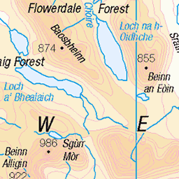
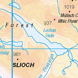
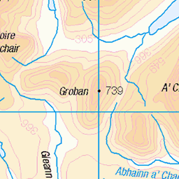
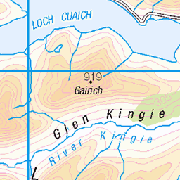
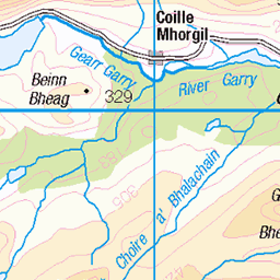
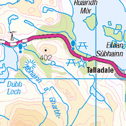
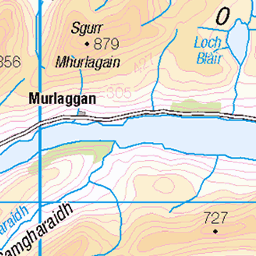
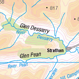
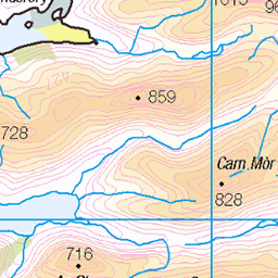
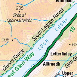
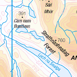
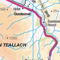
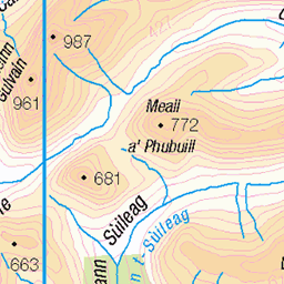
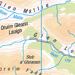
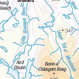
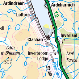
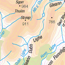
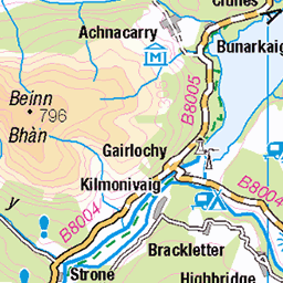
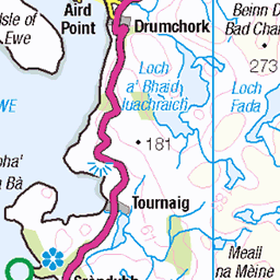
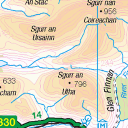
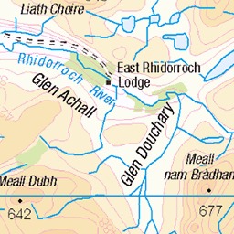
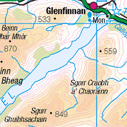
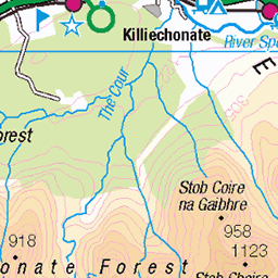
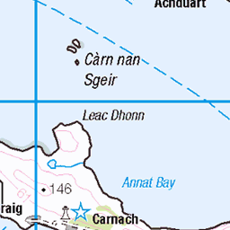
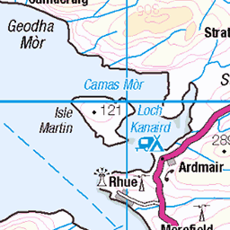
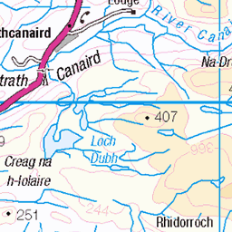
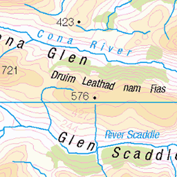
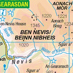
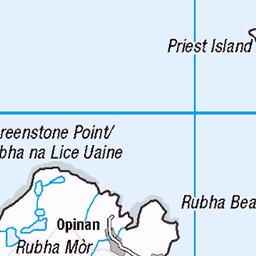
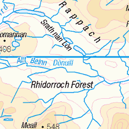
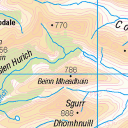
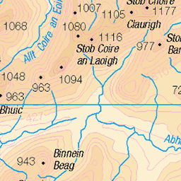
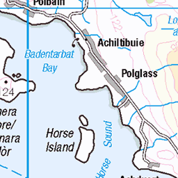
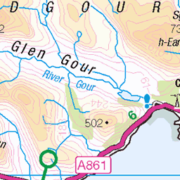
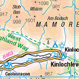
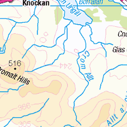
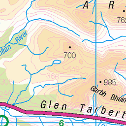
OS Map of Aonach Buidhe
Height: 899m / 2949ft • Prominence: 474m / 1555ft • Summit : rock 1m E of cairn • Trip reports (hill-bagging)


Aonach Buidhe summit
GM/WS-114 HF amateur radio station operation from the summit
14-Apr-14 • Gerald Davison • flickr
corbett sota summitsontheair aonachbuidhe gmws114 13979134722

Aonach Buidhe summit
GM/WS-114 HF amateur radio station operation from the summit
14-Apr-14 • Gerald Davison • flickr
corbett sota summitsontheair aonachbuidhe gmws114 13982774744


Camp between An Creachal Beag and Aonach Buidhe
Spot the tent?
11-Aug-12 • Paul Sammonds • flickr
mountain scotland glen elchaig 7787876264
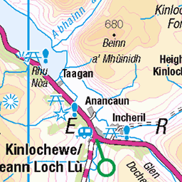
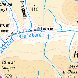
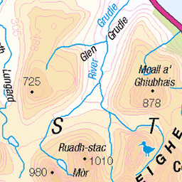
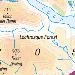
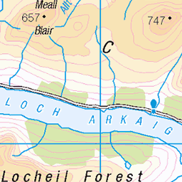
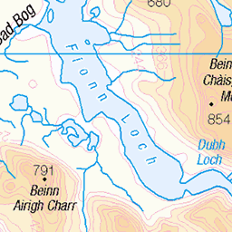
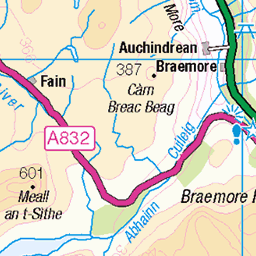
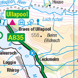
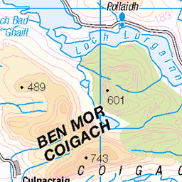
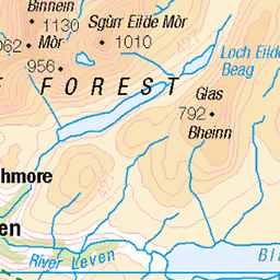
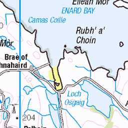
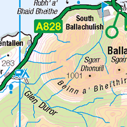
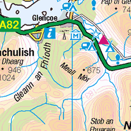
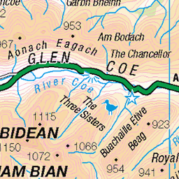
OS Map
This is OS mapping. In some areas, OpenStreetMap shows more footpaths
Spatial NI has online OSNI mapping. Click "Basemap Gallery" (4 squares icon at the top).
Now would be a good time for a cup of tea.


GPX Editor
Record map clicks
Reload map
Photos
Please tag your photos and upload them to the British and Irish Mountains group on Flickr
The other photos have been geo-tagged as on or around the summit. For less busy mountains, it can be a little hit and miss.
Aonach Buidhe summit
GM/WS-114 HF amateur radio station operation from the summit
14-Apr-14 • Gerald Davison • flickr
corbett sota summitsontheair aonachbuidhe gmws114 13979134722
Aonach Buidhe summit
GM/WS-114 HF amateur radio station operation from the summit
14-Apr-14 • Gerald Davison • flickr
corbett sota summitsontheair aonachbuidhe gmws114 13982774744
Camp between An Creachal Beag and Aonach Buidhe
Spot the tent?
11-Aug-12 • Paul Sammonds • flickr
mountain scotland glen elchaig 7787876264
Videos
A bike and hike up the scenic Glen Elchaig to bag a couple of Corbetts, Aonach Buidhe and Faochaig. Solo Hike #hiking ...
A cycle down the scenic Glen Elchaig, from Iron Lodge to Killilan. Music by Martin Roth - An Analog Guy in a Digital World ...
Notes
- Data: Database of British and Irish Hills v18.2
- Maps: We use OS mapping for England, Scotland, Wales, and the Isle of Man. Sadly, Channel Islands, Northern (OSNI) and Southern Ireland (OSI) mapping isn't available online, so we use Openstreetmap.