Hills of Britain and Ireland
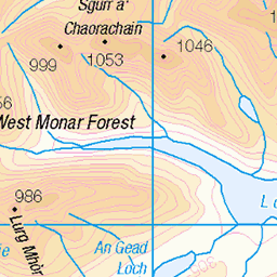
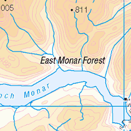
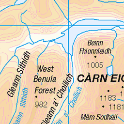
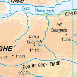
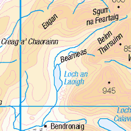
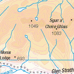
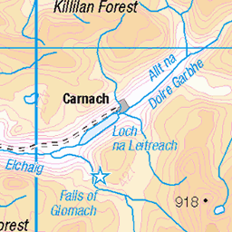
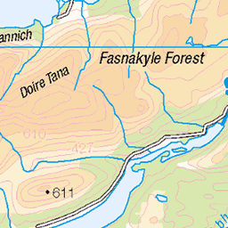
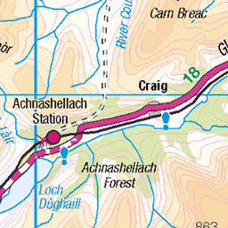
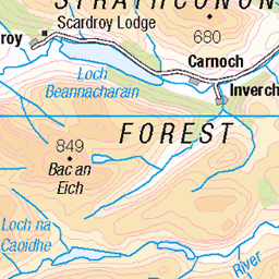
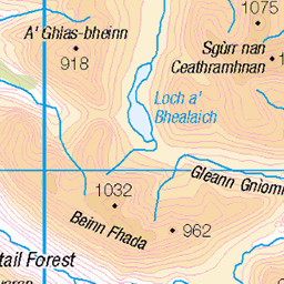
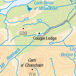
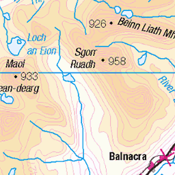
OS Map of Sgurr na Lapaich
Height: 1152m / 3779ft • Prominence: 841m / 2759ft • Summit : large boulder 15m E of trig point • Trip reports (hill-bagging)

Sgurr na Lapaich
One of the munro peaks on the north side of Loch Mullardoch in the Scottish Highlands.
10-May-24 • OutdoorMonkey • flickr
mullardoch scotland highlands munro munros remote wild wilderness outside outdoor rural nature natural scenic scenery mountain mountains mountainside water pool pond 53732274531

Mullardoch munro summit view
At the summit of Sgurr na Lapaich north of Loch Mullardoch, looking down at Loch Tuill Bhearnach. Sgurr nan Clachan Geala is the peak to the right, and the final (going clockwise) munro in the round - Carn nan Gobhar - is over to the left.
10-May-24 • OutdoorMonkey • flickr
mullardoch scotland highlands munro munros remote wild wilderness outside outdoor rural nature natural scenic scenery mountain mountains mountainside 53732701480

photo
Snow below Mullardoch's Sgurr na Lapaich peak, with the Sgurr nan Clachan Geala ridge providing the backdrop. This patch was at least nice to cross, unlike the one higher up the steep slope off the summit.
10-May-24 • OutdoorMonkey • flickr
mullardoch scotland highlands munro munros remote wild wilderness outside outdoor rural nature natural scenic scenery mountain mountains mountainside snow snowfield 53732335736


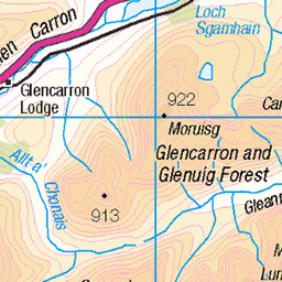
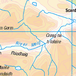
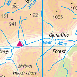
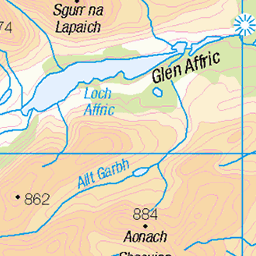
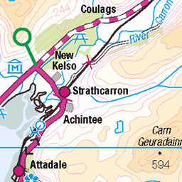
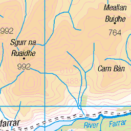
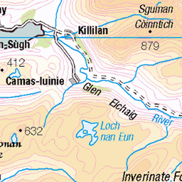
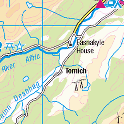
OS Map
This is OS mapping. In some areas, OpenStreetMap shows more footpaths
Spatial NI has online OSNI mapping. Click "Basemap Gallery" (4 squares icon at the top).
Now would be a good time for a cup of tea.
GPX Editor
Record map clicks
Reload map
Photos
Please tag your photos and upload them to the British and Irish Mountains group on Flickr
The other photos have been geo-tagged as on or around the summit. For less busy mountains, it can be a little hit and miss.
Sgurr na Lapaich
One of the munro peaks on the north side of Loch Mullardoch in the Scottish Highlands.
10-May-24 • OutdoorMonkey • flickr
mullardoch scotland highlands munro munros remote wild wilderness outside outdoor rural nature natural scenic scenery mountain mountains mountainside water pool pond 53732274531
Mullardoch munro summit view
At the summit of Sgurr na Lapaich north of Loch Mullardoch, looking down at Loch Tuill Bhearnach. Sgurr nan Clachan Geala is the peak to the right, and the final (going clockwise) munro in the round - Carn nan Gobhar - is over to the left.
10-May-24 • OutdoorMonkey • flickr
mullardoch scotland highlands munro munros remote wild wilderness outside outdoor rural nature natural scenic scenery mountain mountains mountainside 53732701480
photo
Snow below Mullardoch's Sgurr na Lapaich peak, with the Sgurr nan Clachan Geala ridge providing the backdrop. This patch was at least nice to cross, unlike the one higher up the steep slope off the summit.
10-May-24 • OutdoorMonkey • flickr
mullardoch scotland highlands munro munros remote wild wilderness outside outdoor rural nature natural scenic scenery mountain mountains mountainside snow snowfield 53732335736


Sgurr na Lapaich
© Steven Fallon
04-May-11 • Steven Fallon • flickr
munros glenaffric mullardoch 54139283299
Videos
munros #munrobagging #scotland #scottishmountains #camping #summit #hiking #trekking #adventure I've been looking at this ...
Affric Graft Day 2. Beinn Fhionnlaidh (Càrn Eige), Càrn Eige, Màm Sodhail, Date walked: 31/07/2020, Time taken: 9.9 hours, ...
FPV exploration recorded with Insta360 Go2. Flown by Flywoo Hexplorer.
I took a week off work, to travel up to the Scottish Highlands, for a few day hikes. On this hike, the wind was relentless, once I got ...
Rain, wind, a sketchy river crossing and puncture made for an adventurous day out on the gravel bike around Loch Affric. It wasn't ...
Notes
- Data: Database of British and Irish Hills v18.2
- Maps: We use OS mapping for England, Scotland, Wales, and the Isle of Man. Sadly, Channel Islands, Northern (OSNI) and Southern Ireland (OSI) mapping isn't available online, so we use Openstreetmap.