Hills of Britain and Ireland
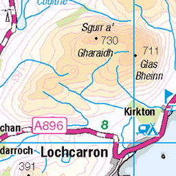
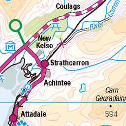
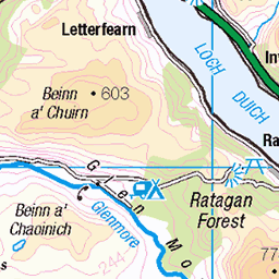
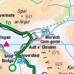
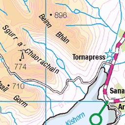
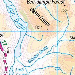
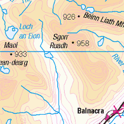
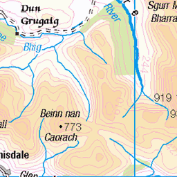
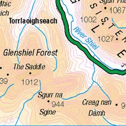
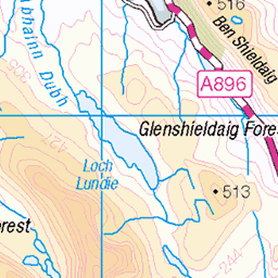
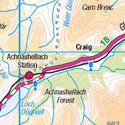
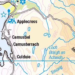
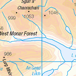
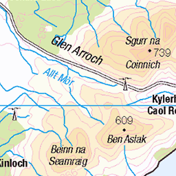
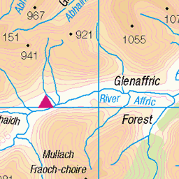
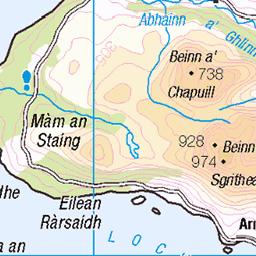
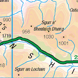
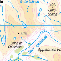
OS Map of Creag Mhor
Height: 407m / 1335ft • Prominence: 158m / 518ft • Summit : three stones on outcrop 30m WNW of cairn • Trip reports (hill-bagging)


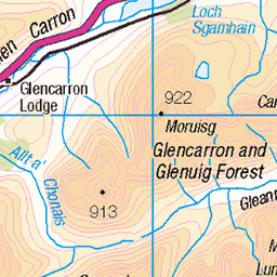
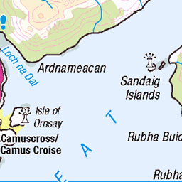
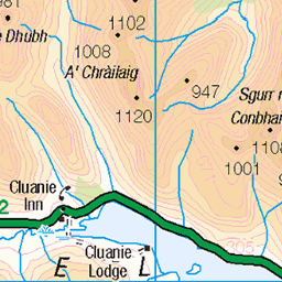
OS Map
This is OS mapping. In some areas, OpenStreetMap shows more footpaths
Spatial NI has online OSNI mapping. Click "Basemap Gallery" (4 squares icon at the top).
Now would be a good time for a cup of tea.
GPX Editor
Record map clicks
Reload map
Photos
Please tag your photos and upload them to the British and Irish Mountains group on Flickr
The other photos have been geo-tagged as on or around the summit. For less busy mountains, it can be a little hit and miss.


Foden, Scania, Volvo
Paddy Munro - "No Ditch Too Deep" D N Munro Plant Hire Ltd Ault a' Chruinne Glenshiel Kyle Ross-Shire IV40 8HN
caollochaillse kyleoflochalsh taobhsiarrois westerross lochaillse lochalsh rossshire siorramachdrois alba scotland schottland ecosse шотландия skotlanti skottland szkocja scozia escocia broskos escòcia skotland schotland σκωτία skócia albain escócia scoţia iskoçya alban highlands gàidhealtachd paddymunro lorry làraidh p111dnm le08lcc f11dnm 51334731159

Volvo, Scania, Foden
Paddy Munro - "No Ditch Too Deep" D N Munro Plant Hire Ltd Ault a' Chruinne Glenshiel Kyle Ross-Shire IV40 8HN
caollochaillse kyleoflochalsh taobhsiarrois westerross lochaillse lochalsh rossshire siorramachdrois alba scotland schottland ecosse шотландия skotlanti skottland szkocja scozia escocia broskos escòcia skotland schotland σκωτία skócia albain escócia scoţia iskoçya alban highlands gàidhealtachd paddymunro lorry làraidh le08lcc p111dnm f11dnm 51333277087
Videos
Final part of this NC500 series documenting my journey on an XT1200 Super Tenere around the Scottish coast. This Leg takes ...
South glen shiel ridge walk.South glen shiel ridge walk munros. South glen shiel ridge walk distance.wild camping South glen ...
Notes
- Data: Database of British and Irish Hills v18.2
- Maps: We use OS mapping for England, Scotland, Wales, and the Isle of Man. Sadly, Channel Islands, Northern (OSNI) and Southern Ireland (OSI) mapping isn't available online, so we use Openstreetmap.