Hills of Britain and Ireland
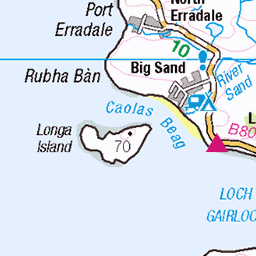
OS Map of Eilean a' Chaoil

Crimson Edge
05-Jul-24 • younus.karim35 • flickr
strathcarron scotland unitedkingdom landscape outdoor nature 53838735013

Misty Mountains
05-Jul-24 • younus.karim35 • flickr
strathcarron scotland unitedkingdom landscape outdoor nature 53982014827


9109 Eilean a' Chaoil e
04-Sep-23 • Dugswell2 • flickr
upperlochtorridon westerross eileanachaoil p32 tump sib 53180639835

9109 Eilean a' Chaoil f
04-Sep-23 • Dugswell2 • flickr
upperlochtorridon westerross eileanachaoil p32 tump sib cairnpostjonathanscare 53180639040

9109 Eilean a' Chaoil
04-Sep-23 • Dugswell2 • flickr
westerross eileanachaoil p32 tump sib tidalisland 53185504218
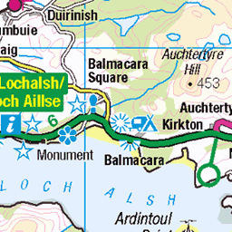
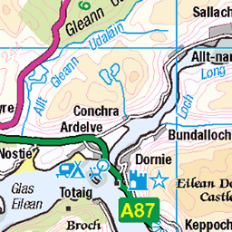
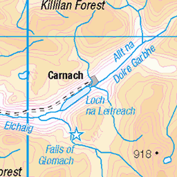
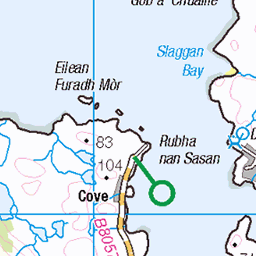
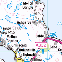
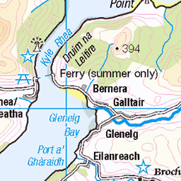
OS Map
This is OS mapping. In some areas, OpenStreetMap shows more footpaths
Spatial NI has online OSNI mapping. Click "Basemap Gallery" (4 squares icon at the top).
Now would be a good time for a cup of tea.


GPX Editor
Record map clicks
Reload map
Photos
Please tag your photos and upload them to the British and Irish Mountains group on Flickr
The other photos have been geo-tagged as on or around the summit. For less busy mountains, it can be a little hit and miss.
Crimson Edge
05-Jul-24 • younus.karim35 • flickr
strathcarron scotland unitedkingdom landscape outdoor nature 53838735013
Misty Mountains
05-Jul-24 • younus.karim35 • flickr
strathcarron scotland unitedkingdom landscape outdoor nature 53982014827
9109 Eilean a' Chaoil e
04-Sep-23 • Dugswell2 • flickr
upperlochtorridon westerross eileanachaoil p32 tump sib 53180639835
9109 Eilean a' Chaoil f
04-Sep-23 • Dugswell2 • flickr
upperlochtorridon westerross eileanachaoil p32 tump sib cairnpostjonathanscare 53180639040
9109 Eilean a' Chaoil
04-Sep-23 • Dugswell2 • flickr
westerross eileanachaoil p32 tump sib tidalisland 53185504218

9109 Eilean a' Chaoil a
Started at Shieldaig car park then up Meall a' Choire Bhuidhe, Camas an Leim, Camas Ruadh before the tidal island of Eilean a' Chaoil. Name:Eilean a' Chaoil Hill number:9109 Height:32m / 105ft Parent (Ma):none RHB Section:13B: Applecross to Achnasheen County/UA:Highland Island:Mono Tump island (t) Class:Tump (0-99m), SIB Grid ref:NG 81283 56243 Summit feature:cairn Drop:32m Col:Sea Observations:c.2m higher than outcrop 100m N (with 29m OS spot height)
04-Sep-23 • Dugswell2 • flickr
westerross eileanachaoil p32 tump sib tidalisland 53185504423

Scotland 2023
09-Jul-23 • henning.wenk • flickr
2023 dji drone schottland scotland island shieldaig sunset 53134102628


Lull before the Storm
Within a couple of minutes a heavy downpour descended from the left of picture. Upper Loch Torridon looking towards Glen Torridon. I think in B&W the contrasting shades of greys and dark reflect the mood of the moment well.
10-Oct-22 • vincocamm • flickr
scotland highlands scottish shieldaig upperlochtorridon mountains torridon torridonmountains autumn trees storm stormy rain rainy crepuscular october2022 52459877191

Torridon Storm
With my back to the approaching rain I managed to capture the last of the sun as it seemed to be retreating behind a cloud. A lost battle between light and dark...
10-Oct-22 • vincocamm • flickr
scotland highlands scottish shieldaig upperlochtorridon mountains torridon torridonmountains autumn trees storm stormy rain rainy crepuscular october2022 52416990972

Peninsula Bay
A morning sunrise view looking into Upper Loch Torridon form the Peninsula walk back in October
08-Oct-22 • vincocamm • flickr
scotland shieldaig peninsula upperlcohtorridon torridon october2022 autumn sunrise 52970638187

Torridon Light
Sunrise over the Torridon mountains. A view from the Shieldaig Peninsula walk with those lucky dogs.
08-Oct-22 • vincocamm • flickr
scotland highlands scottish shieldaig upperlochtorridon mountains torridon torridonmountains autumn trees bracken october2022 52415282995

Videos
None found
Notes
- Data: Database of British and Irish Hills v18.2
- Maps: We use OS mapping for England, Scotland, Wales, and the Isle of Man. Sadly, Channel Islands, Northern (OSNI) and Southern Ireland (OSI) mapping isn't available online, so we use Openstreetmap.