Hills of Britain and Ireland
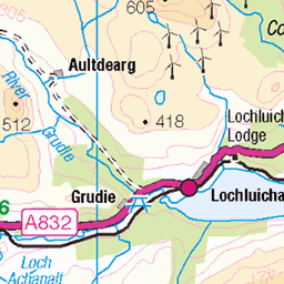
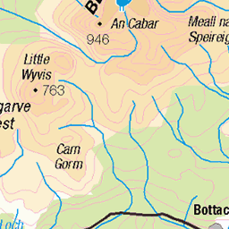
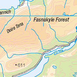
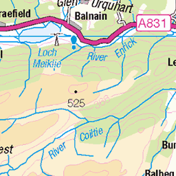
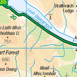
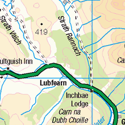
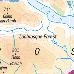
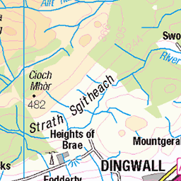
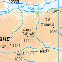
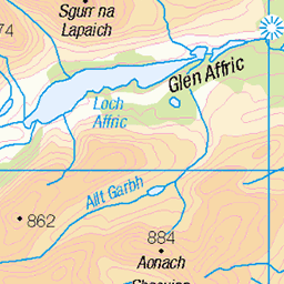
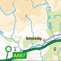
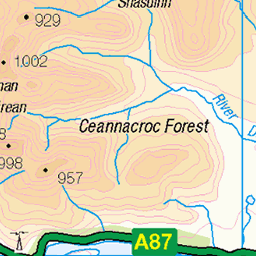
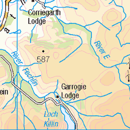
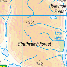
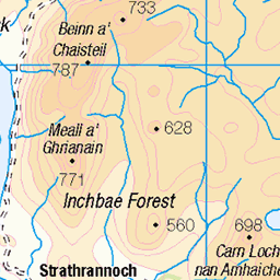
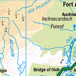
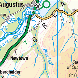
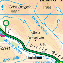
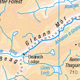
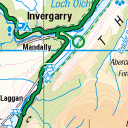
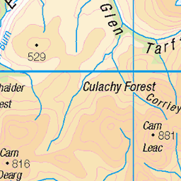
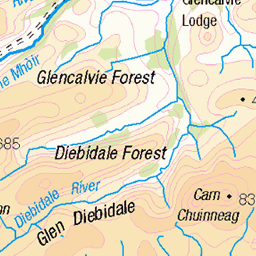
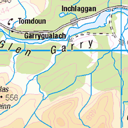
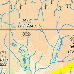
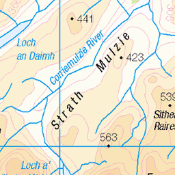
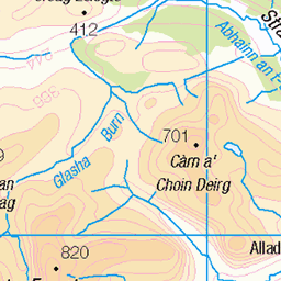
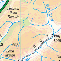
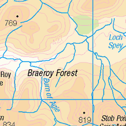
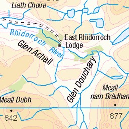
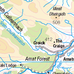
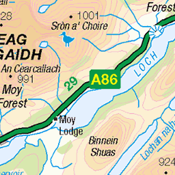
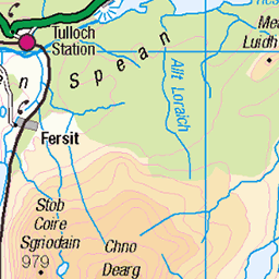
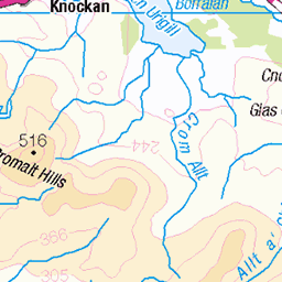
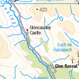
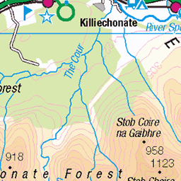
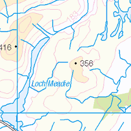
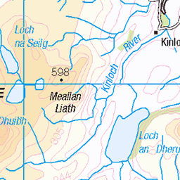
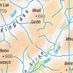
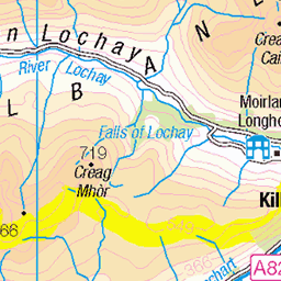
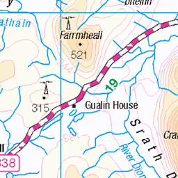
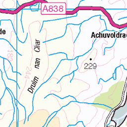
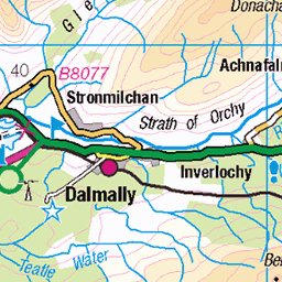
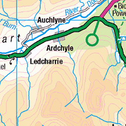
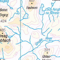
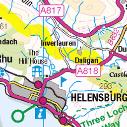
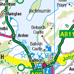
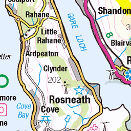
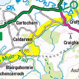
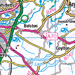
OS Map of Beinn a' Bhathaich Ard (Beinn a' Bha' ach Ard)
Height: 862m / 2828ft • Prominence: 241m / 791ft • Summit : trig point • Trip reports (hill-bagging)


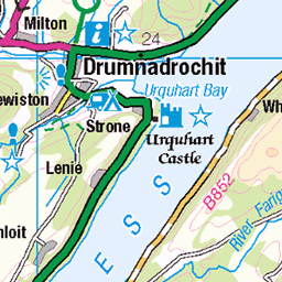
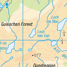
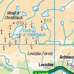
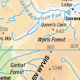
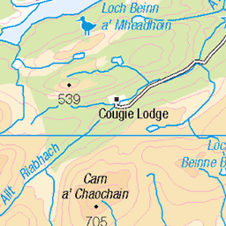
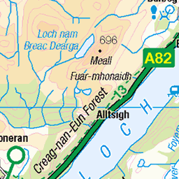
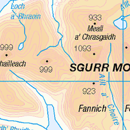
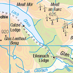
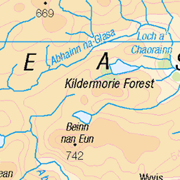
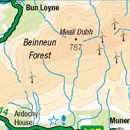
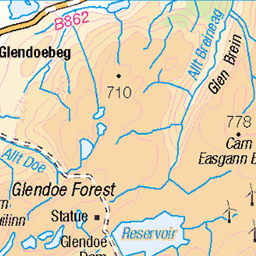
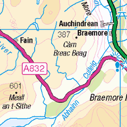
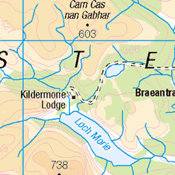
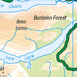
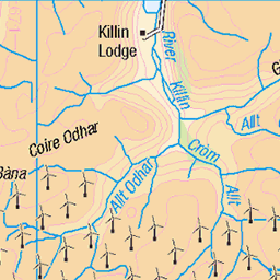
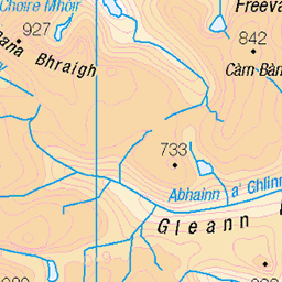
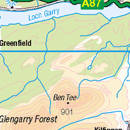
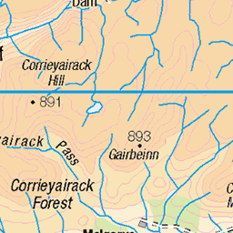
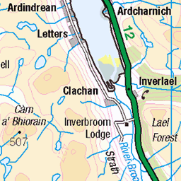
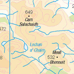
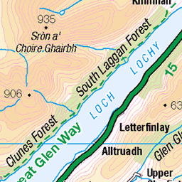
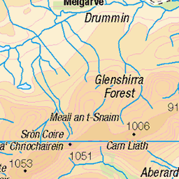
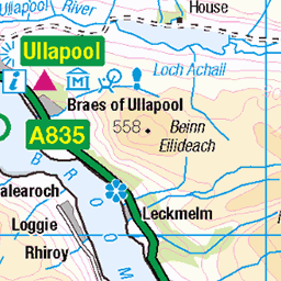
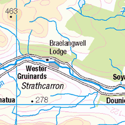
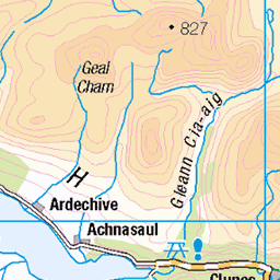
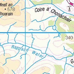
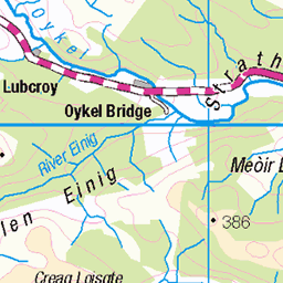
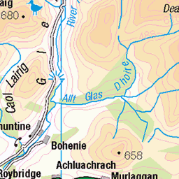
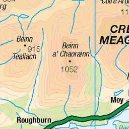
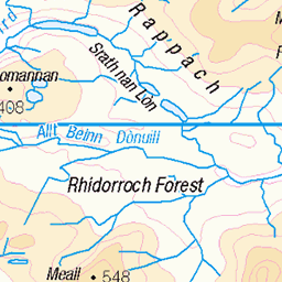
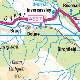
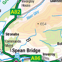
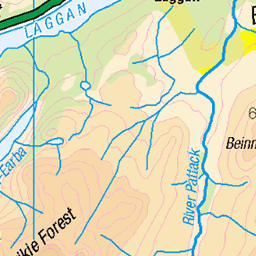
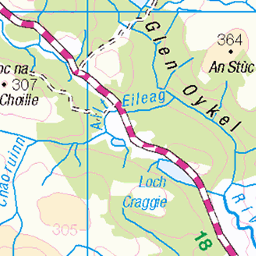
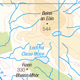
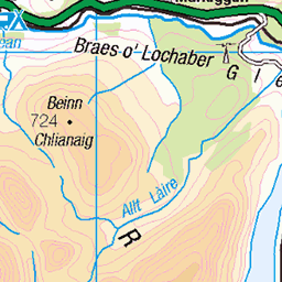
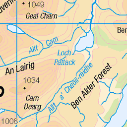
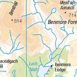
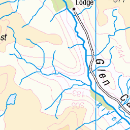
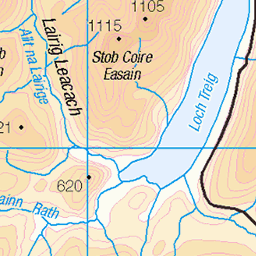
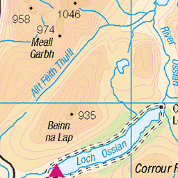
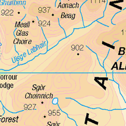
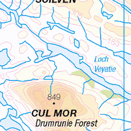
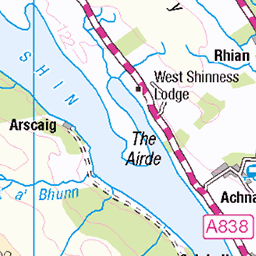
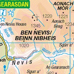
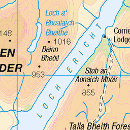
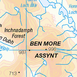
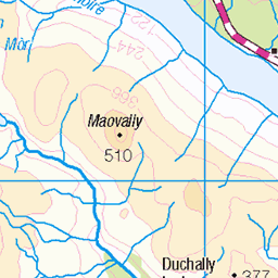
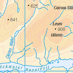
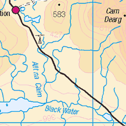
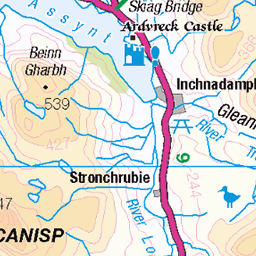
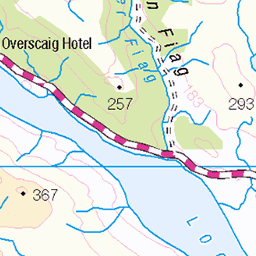
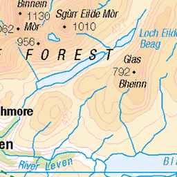
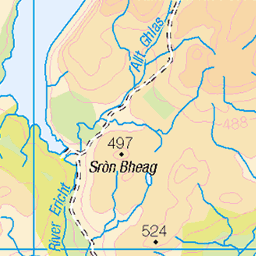
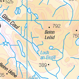
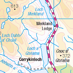
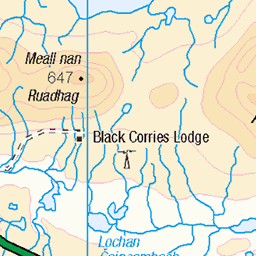
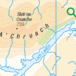
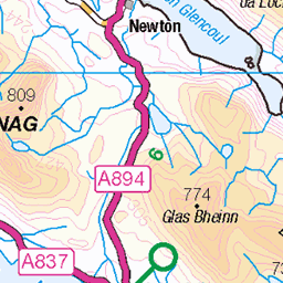
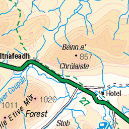
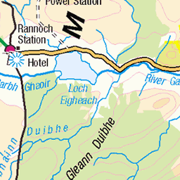
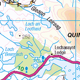
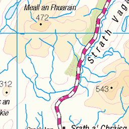
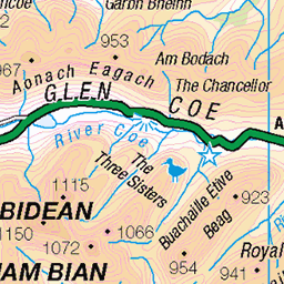
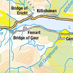
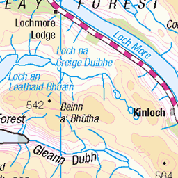
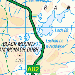
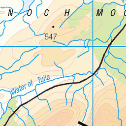
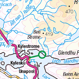
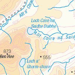
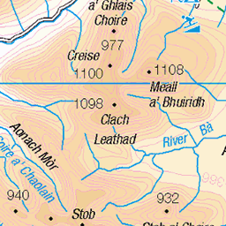
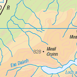
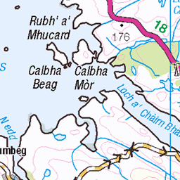
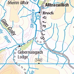
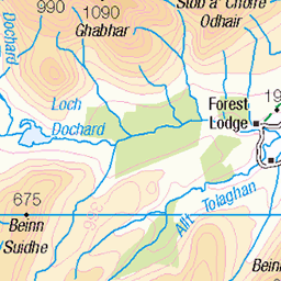
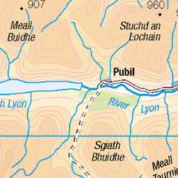
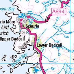
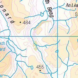
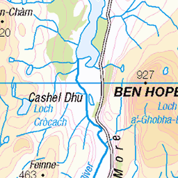
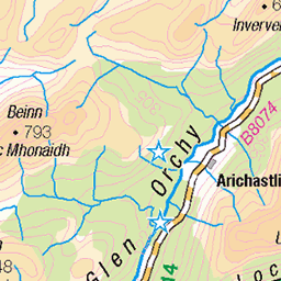
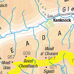
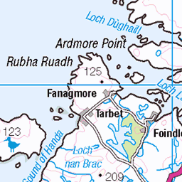
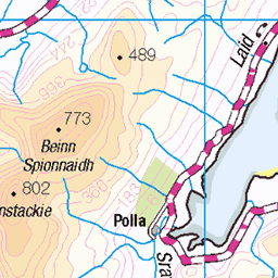
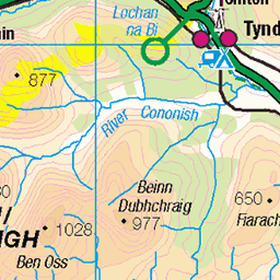
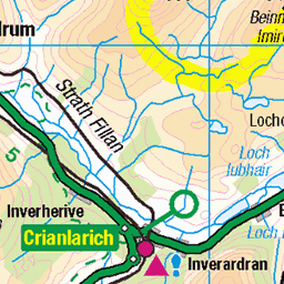
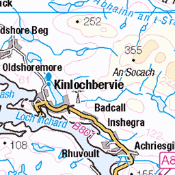
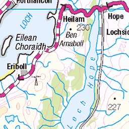
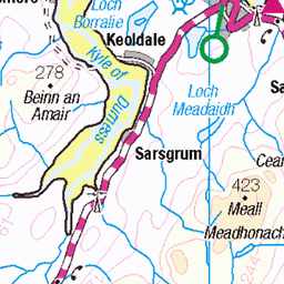
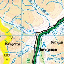
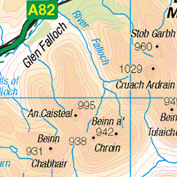
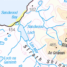
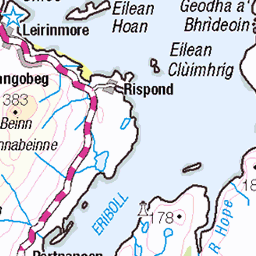
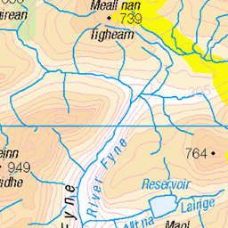
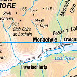
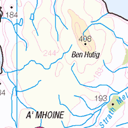
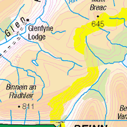
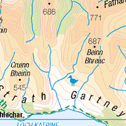
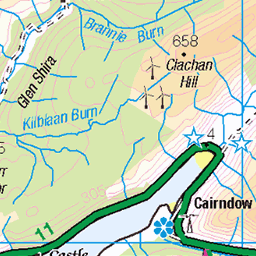
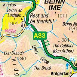
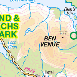
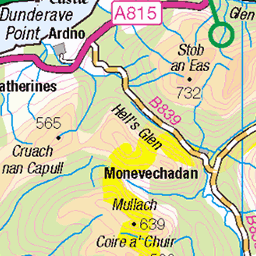
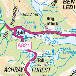
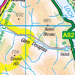
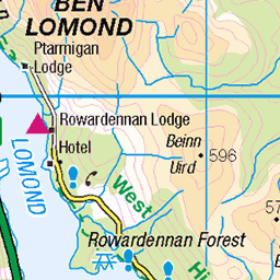
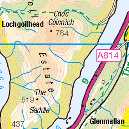
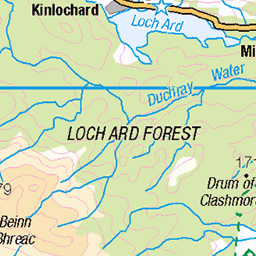
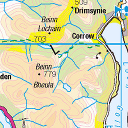
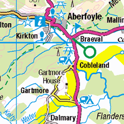
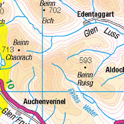
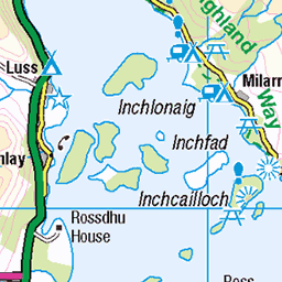
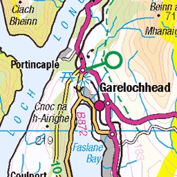
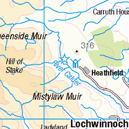
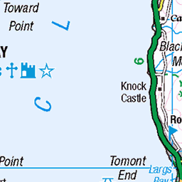
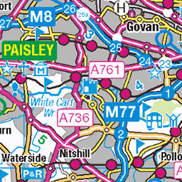
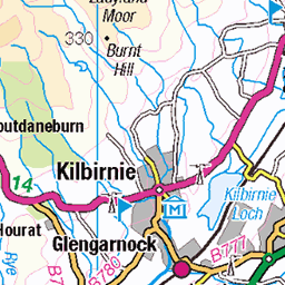
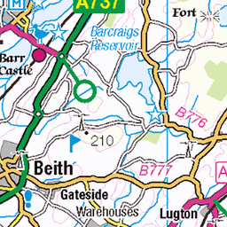
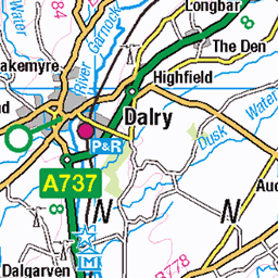
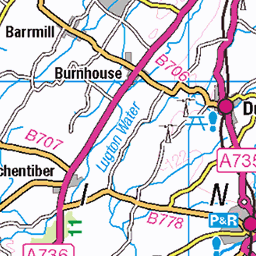
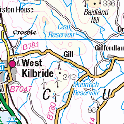
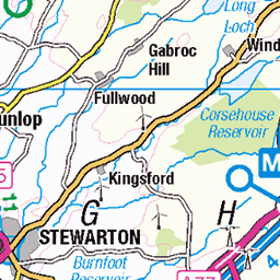
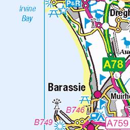
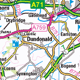
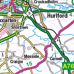
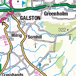
OS Map
This is OS mapping. In some areas, OpenStreetMap shows more footpaths
Spatial NI has online OSNI mapping. Click "Basemap Gallery" (4 squares icon at the top).
Now would be a good time for a cup of tea.


GPX Editor
Record map clicks
Reload map
Photos
Please tag your photos and upload them to the British and Irish Mountains group on Flickr
The other photos have been geo-tagged as on or around the summit. For less busy mountains, it can be a little hit and miss.


S6206 - Beinn A' Bha'Ach Ard
NH360434, LR26. HISTORY Pillar completed 14th June 1948 costing £19.11s.0d. Computed as primary triangulation station PP380 within Figure 6 of the OSGB36 primary retirangulation network during 1951. This station was also used for the reconnaissance of secondary blocks NH54 (Inverness) during 1955, and levelled to second class precision in 1956. This pillar station was last maintained by the Ordnance Survey in May 1980. SITE VISIT Approached from southeast. Small car park on south side of unclassified road at NH395406 where the mapped yellow infill now ends. Headed due north as mapped but the path does not become apparent for around 250m. Continued on path passing around east side of Loch na Beiste and up onto top on Carn na Gabhalach, along to Sgurr a' Phollain and finally Beinn a' Bhathaich Ard. The stone built pillar is in good condition. Spider plugged with tar. The flush bracket faces SSE, compass measurement 159°. Vented through right (NE) and back (NW) sight holes. Full 360° panorama with long views in all directions. Returned via a random route south picking up the mapped track just west of the power station. Photographed: 16th July 2012, GRP. ═════════════════════════ Interactive index: www.google.com/maps/d/viewer?mid=1arx2Qmo5mVeVUJA2lzVG_uzbYPW59ffh&ll=57.451948,-4.733915&z=11" rel="noreferrer nofollow Google My Maps Map: www.flickr.com/photos/13460108@N06/26301520638/in/album-72157692190778971/ Trig Pillars on OS Landranger 26 ═════════════════════════ Neighbouring Triangulation Pillars www.flickr.com/photos/13460108@N06/8465769139/in/album-72157631801120468/ S7522 - Bad A Chlamhain : 5.15 miles to the east. S8136 - Carn Na Coinnich : 5.21 miles to the northwest. www.flickr.com/photos/13460108@N06/8109913298/in/album-72157631821839859/ S8467 - Beinn An Rudha Riabhaich : 6.97 miles northeast. www.flickr.com/photos/13460108@N06/8473963737/in/album-72157631801120468/ S7734 - Carn Mor : 7.26 miles to the southeast. ═════════════════════════
16-Jul-12 • Graeme5015 • flickr
beinnabhaachard s6206 8509014926
Videos
None found
Notes
- Data: Database of British and Irish Hills v18.2
- Maps: We use OS mapping for England, Scotland, Wales, and the Isle of Man. Sadly, Channel Islands, Northern (OSNI) and Southern Ireland (OSI) mapping isn't available online, so we use Openstreetmap.