Hills of Britain and Ireland
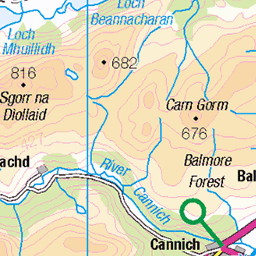
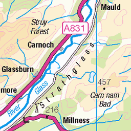
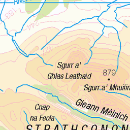
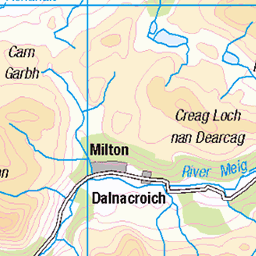
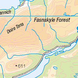
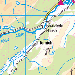
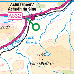
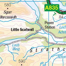
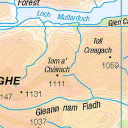
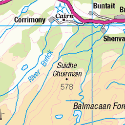
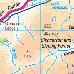
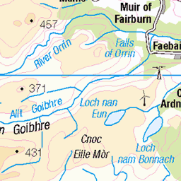
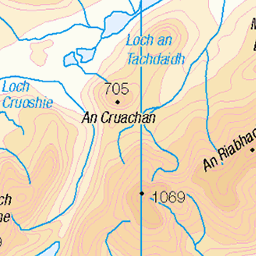
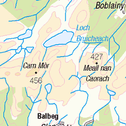
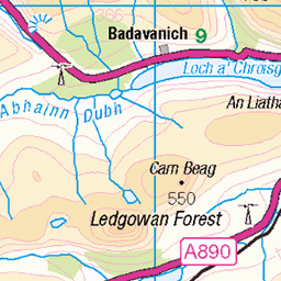
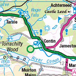
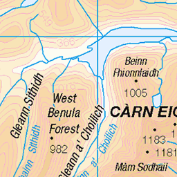
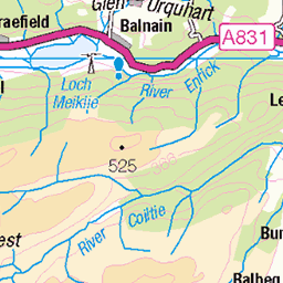
OS Map of Sgurr na Ruaidhe
Height: 993m / 3258ft • Prominence: 226m / 741ft • Summit : large cairn • Trip reports (hill-bagging)


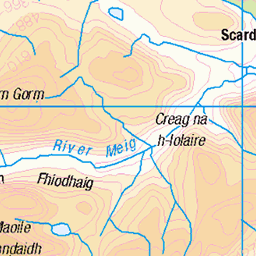
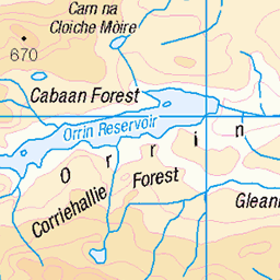
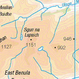
OS Map
This is OS mapping. In some areas, OpenStreetMap shows more footpaths
Spatial NI has online OSNI mapping. Click "Basemap Gallery" (4 squares icon at the top).
Now would be a good time for a cup of tea.
GPX Editor
Record map clicks
Reload map
Photos
Please tag your photos and upload them to the British and Irish Mountains group on Flickr
The other photos have been geo-tagged as on or around the summit. For less busy mountains, it can be a little hit and miss.


Videos
Join Douglas as he heads into Glen Strathfarrar to bag the 4 Munros of Sgurr na Ruaidhe, Carn nan Gobhar, Sgurr a' Choire ...
In today's video I will be doing my first EVER solo wildcamp, this includes a 35 mile "Bike & Hike" into a remote Scottish Glen, then ...
110mile ride out to Loch Monar along Glen Strathfarrar and back. Stunning Glen with wild stags roaming.
Notes
- Data: Database of British and Irish Hills v18.2
- Maps: We use OS mapping for England, Scotland, Wales, and the Isle of Man. Sadly, Channel Islands, Northern (OSNI) and Southern Ireland (OSI) mapping isn't available online, so we use Openstreetmap.