Hills of Britain and Ireland
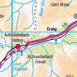
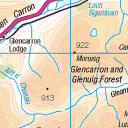
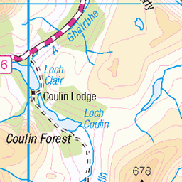
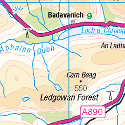
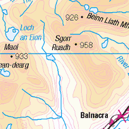
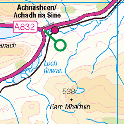
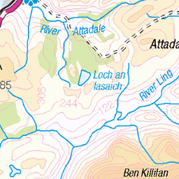
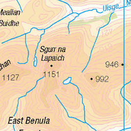
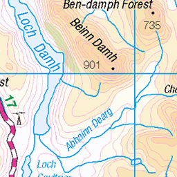
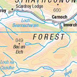
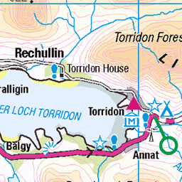
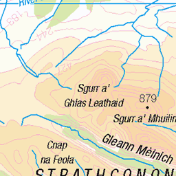
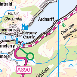
OS Map of Sgurr Choinnich


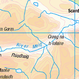
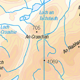
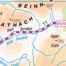
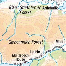
OS Map
This is OS mapping. In some areas, OpenStreetMap shows more footpaths
Spatial NI has online OSNI mapping. Click "Basemap Gallery" (4 squares icon at the top).
Now would be a good time for a cup of tea.

GPX Editor
Record map clicks
Reload map
Photos
Please tag your photos and upload them to the British and Irish Mountains group on Flickr
The other photos have been geo-tagged as on or around the summit. For less busy mountains, it can be a little hit and miss.


Videos
Bike and hike to Sgùrr Chòinnich and Sgùrr a'Chaorachain from Craig, near Achnashellach. Music by Amarel ...
After parking up and sleeping in the van overnight near Torridon, I drove along the stunning coast road towards Applecross.
Maoile Lunndaidh from Craig, near Achnashellach. Solo Hike #hiking #scotland #munro.
Playing about riding the new 2018 yt Capra cf pro race 29er on my favourite local trail.
Notes
- Data: Database of British and Irish Hills v18.2
- Maps: We use OS mapping for England, Scotland, Wales, and the Isle of Man. Sadly, Channel Islands, Northern (OSNI) and Southern Ireland (OSI) mapping isn't available online, so we use Openstreetmap.