Hills of Britain and Ireland
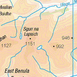
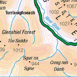
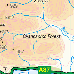
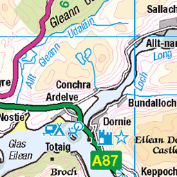
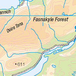
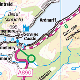
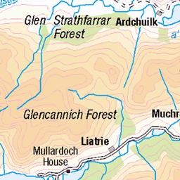
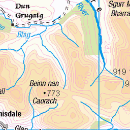
OS Map of An Socach East Top

photo
En route to of Sgurr nan Ceathramhnan (dark peak, centre pic) over An Socach and along the Affric ridge from the east.
29-Jun-23 • OutdoorMonkey • flickr
affric scotland highlands outside outdoor rural countryside wild wilderness remote nature natural scenic scenery mountain mountainside summit peak munro pond water 53020560386


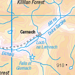
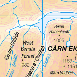
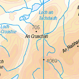
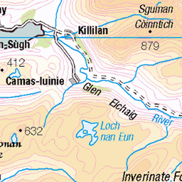
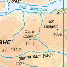
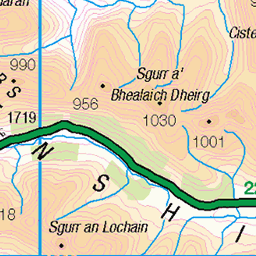
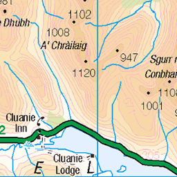
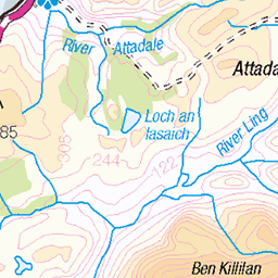
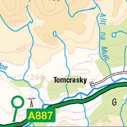
OS Map
This is OS mapping. In some areas, OpenStreetMap shows more footpaths
Spatial NI has online OSNI mapping. Click "Basemap Gallery" (4 squares icon at the top).
Now would be a good time for a cup of tea.

GPX Editor
Record map clicks
Reload map
Photos
Please tag your photos and upload them to the British and Irish Mountains group on Flickr
The other photos have been geo-tagged as on or around the summit. For less busy mountains, it can be a little hit and miss.
photo
En route to of Sgurr nan Ceathramhnan (dark peak, centre pic) over An Socach and along the Affric ridge from the east.
29-Jun-23 • OutdoorMonkey • flickr
affric scotland highlands outside outdoor rural countryside wild wilderness remote nature natural scenic scenery mountain mountainside summit peak munro pond water 53020560386


Videos
First taste of Glen Affric, Fries & Flies! Sgùrr nan Ceathreamhnan, Mullach na Dheiragain & An Socach, from Alltbeithe.
Notes
- Data: Database of British and Irish Hills v18.2
- Maps: We use OS mapping for England, Scotland, Wales, and the Isle of Man. Sadly, Channel Islands, Northern (OSNI) and Southern Ireland (OSI) mapping isn't available online, so we use Openstreetmap.