Hills of Britain and Ireland
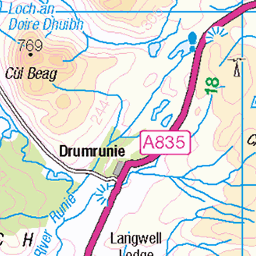
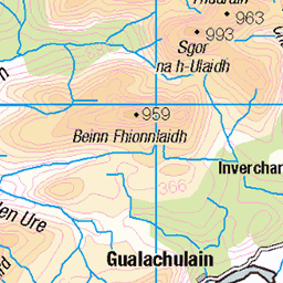
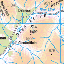
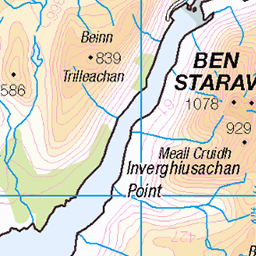
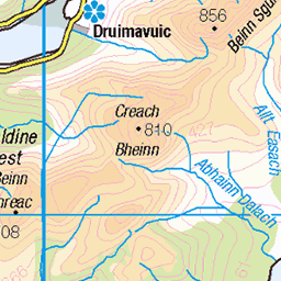
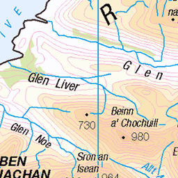
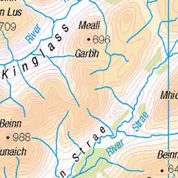
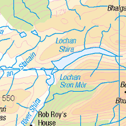
OS Map of Beinn Fhionnlaidh
Height: 1005m / 3297ft • Prominence: 173m / 568ft • Summit : large cairn • Trip reports (hill-bagging)

Rain in Gleann a' Choilich
Watching the showers from Beinn Fhionnlaidh. This is looking up Gleann a' Choilich with the Mullach na Dheiragain ridge to the right and Sgurr nan Ceathreamhnan dominant on the skyline in the distance.
26-Jun-23 • OutdoorMonkey • flickr
sgurrnanceathreamhnan ceathreamhnan mullachnadheiragain munro peak mountain mountainside valley glen gleannachoilich river abhainnachoillich rain shower weather outside outdoor remote wild wilderness 53016520942

Carn Eige from the north
Looking towards Carn Eige (and Mam Sodhail beyond) on the walk back from Beinn Fhionnlaidh.
26-Jun-23 • OutdoorMonkey • flickr
beinnfhionnlaidh carneige mamsodhail mountain peak mountainside ridge outside outdoor rural nature natural scenic scenery countryside remote wild wilderness scotland highlands 53017325079


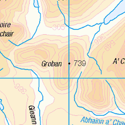
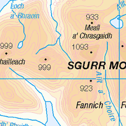
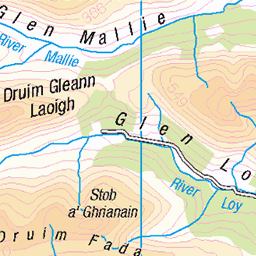
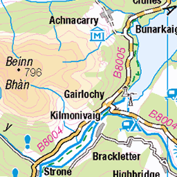
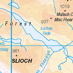
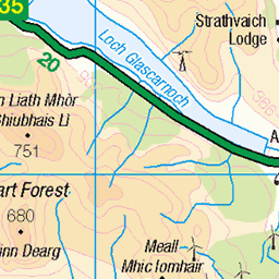
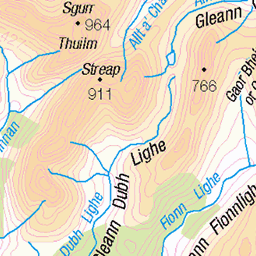
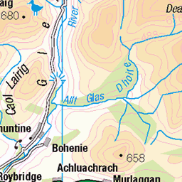
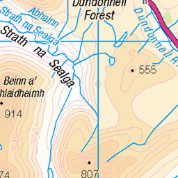
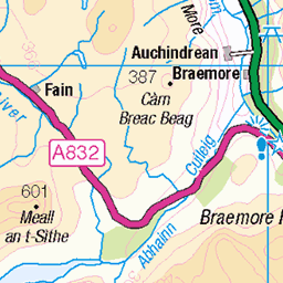
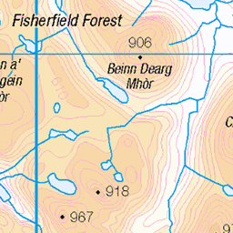
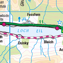
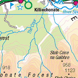
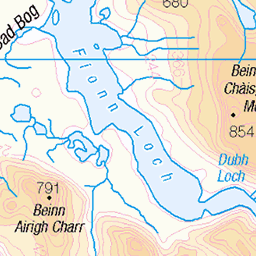
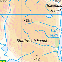
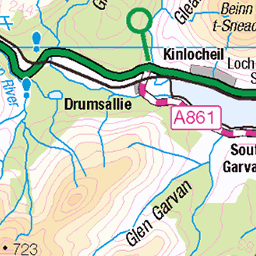
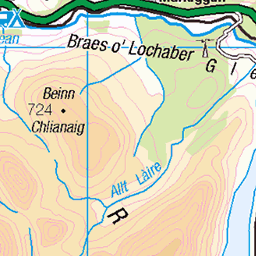
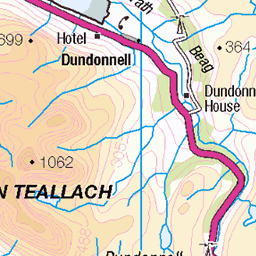
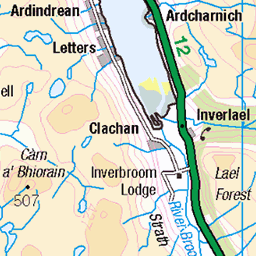
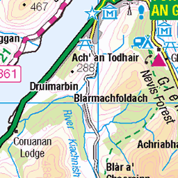
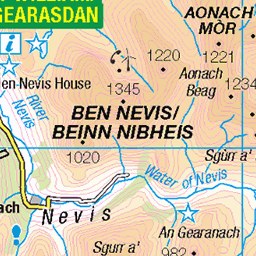
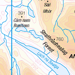
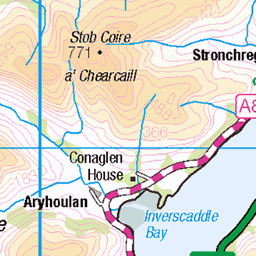
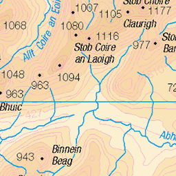
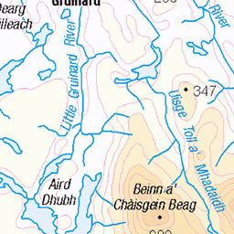
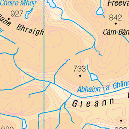
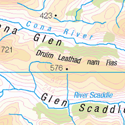
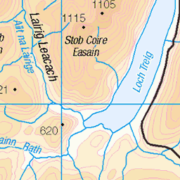
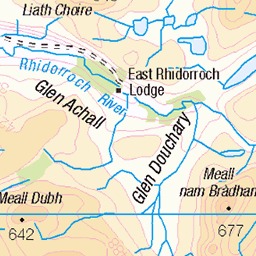
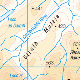
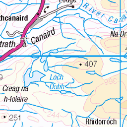
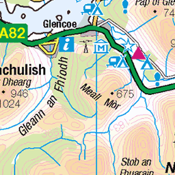
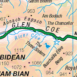
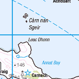
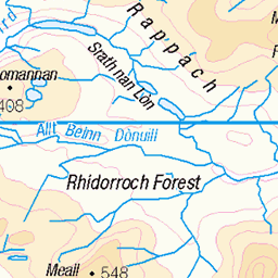
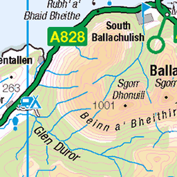
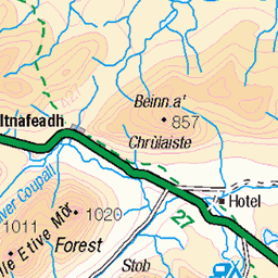
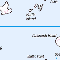
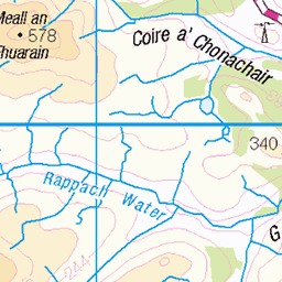
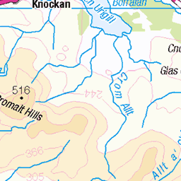
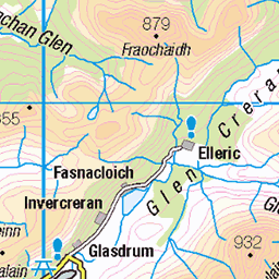
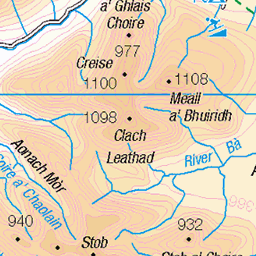
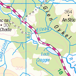
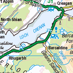
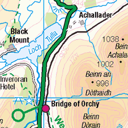
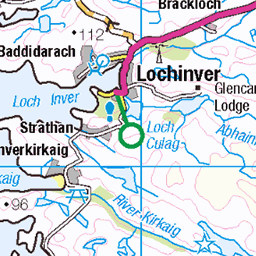
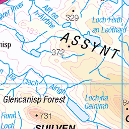
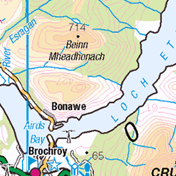
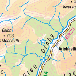
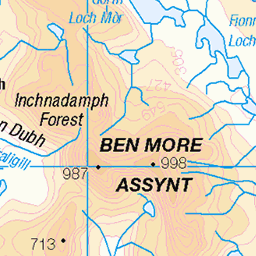
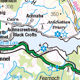
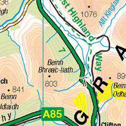
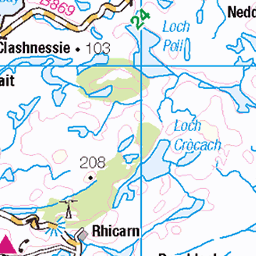
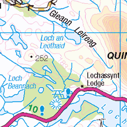
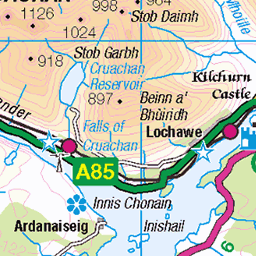
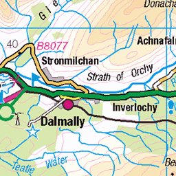
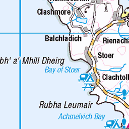
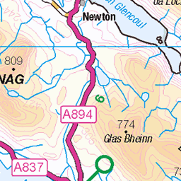
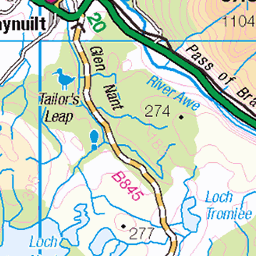
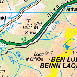
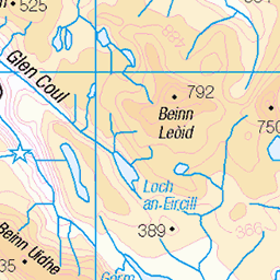
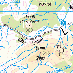
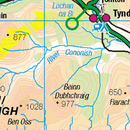
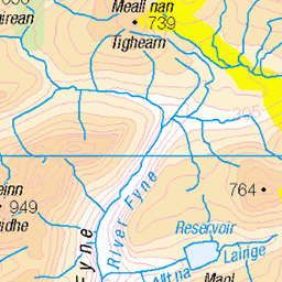
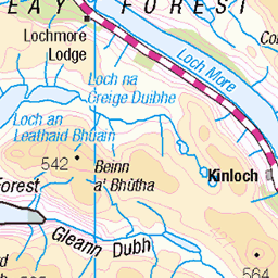
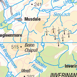
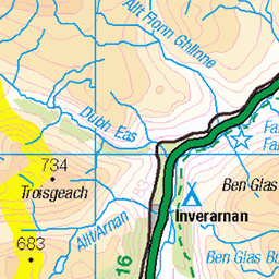
OS Map
This is OS mapping. In some areas, OpenStreetMap shows more footpaths
Spatial NI has online OSNI mapping. Click "Basemap Gallery" (4 squares icon at the top).
Now would be a good time for a cup of tea.


GPX Editor
Record map clicks
Reload map
Photos
Please tag your photos and upload them to the British and Irish Mountains group on Flickr
The other photos have been geo-tagged as on or around the summit. For less busy mountains, it can be a little hit and miss.
Rain in Gleann a' Choilich
Watching the showers from Beinn Fhionnlaidh. This is looking up Gleann a' Choilich with the Mullach na Dheiragain ridge to the right and Sgurr nan Ceathreamhnan dominant on the skyline in the distance.
26-Jun-23 • OutdoorMonkey • flickr
sgurrnanceathreamhnan ceathreamhnan mullachnadheiragain munro peak mountain mountainside valley glen gleannachoilich river abhainnachoillich rain shower weather outside outdoor remote wild wilderness 53016520942
Carn Eige from the north
Looking towards Carn Eige (and Mam Sodhail beyond) on the walk back from Beinn Fhionnlaidh.
26-Jun-23 • OutdoorMonkey • flickr
beinnfhionnlaidh carneige mamsodhail mountain peak mountainside ridge outside outdoor rural nature natural scenic scenery countryside remote wild wilderness scotland highlands 53017325079


Videos
Affric Graft Day 2. Beinn Fhionnlaidh (Càrn Eige), Càrn Eige, Màm Sodhail, Date walked: 31/07/2020, Time taken: 9.9 hours, ...
While on our Summer holidays staying in Morvich Caravan and Motorhome club site for 10 nights, Jura and I decided to climb ...
Beinn Fhada, near Kintail. Solo Hike #hiking #scotland #munro.
After parking at The River Affric car park I walked the 8.5 miles into Alltbeithe Youth Hostel to set up camp. The following day my ...
Notes
- Data: Database of British and Irish Hills v18.2
- Maps: We use OS mapping for England, Scotland, Wales, and the Isle of Man. Sadly, Channel Islands, Northern (OSNI) and Southern Ireland (OSI) mapping isn't available online, so we use Openstreetmap.