Hills of Britain and Ireland
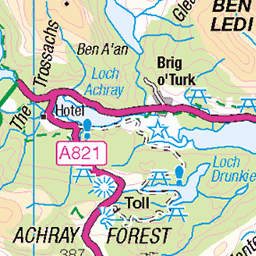
OS Map of Dun Sheock
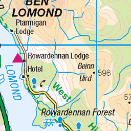
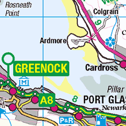
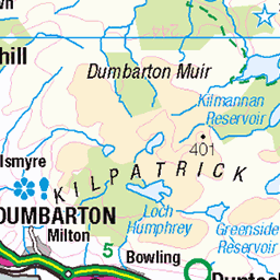
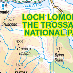
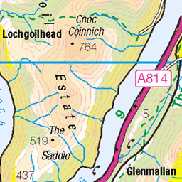
Height: 89m / 292ft • Prominence: 81m / 266ft • Summit : no feature: grass on E side of path • Trip reports (hill-bagging)


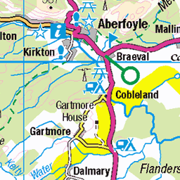
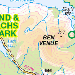
OS Map
This is OS mapping. In some areas, OpenStreetMap shows more footpaths
Spatial NI has online OSNI mapping. Click "Basemap Gallery" (4 squares icon at the top).
Now would be a good time for a cup of tea.


GPX Editor
Record map clicks
Reload map
Photos
Please tag your photos and upload them to the British and Irish Mountains group on Flickr
The other photos have been geo-tagged as on or around the summit. For less busy mountains, it can be a little hit and miss.


8170 Dun Sheock
10-Sep-22 • Dugswell2 • flickr
freshwaterislandinchmurrin lochlomond dunsheock p81 tump sib 52399982650

8170 Dun Sheock a
Seventh Tump & seventh SIB on a seven island cruise from Aldochlay with Jill. Name:Dun Sheock Hill number:8170 Height:89m / 292ft Parent (Ma):none RHB Section:01C: Loch Lomond to Strathyre County/UA:West Dunbartonshire (UA) Island:Mono Tump island Maritime area:Freshwater Catchment:Leven (Dumbarton) Class:Tump (0-99m), SIB Grid ref:NS 38283 87592 Summit feature:no feature: grass on E side of path Drop:81m Col:8m Loch
10-Sep-22 • Dugswell2 • flickr
freshwaterislandinchmurrin lochlomond dunsheock p81 tump sib 52399042937

8170 Dun Sheock b
10-Sep-22 • Dugswell2 • flickr
freshwaterislandinchmurrin lochlomond dunsheock p81 tump sib 52400053143

8170 Dun Sheock d
10-Sep-22 • Dugswell2 • flickr
freshwaterislandinchmurrin lochlomond dunsheock p81 tump sib 52399564551
Videos
None found
Notes
- Data: Database of British and Irish Hills v18.2
- Maps: We use OS mapping for England, Scotland, Wales, and the Isle of Man. Sadly, Channel Islands, Northern (OSNI) and Southern Ireland (OSI) mapping isn't available online, so we use Openstreetmap.