Hills of Britain and Ireland
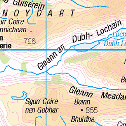
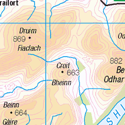
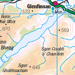
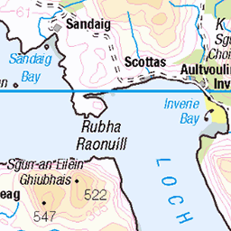
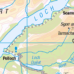
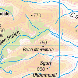
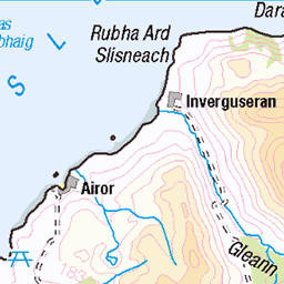
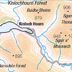
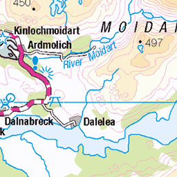
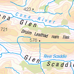
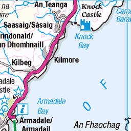
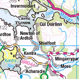
OS Map of Druim a' Chuirn
Height: 584m / 1916ft • Prominence: 182m / 597ft • Summit : cairn on rocky crest • Trip reports (hill-bagging)

_MG_9108-2
13-Sep-08 • biggles621 • flickr
geotagged geo:lat=5692989855 geo:lon=556086330 2856904649

_MG_9110-2
13-Sep-08 • biggles621 • flickr
geotagged geo:lat=5693138300 geo:lon=556201300 2857733716

_MG_9120-2
13-Sep-08 • biggles621 • flickr
geotagged geo:lat=5694785138 geo:lon=556949103 2856905875

_MG_9120-2
13-Sep-08 • biggles621 • flickr
geotagged geo:lat=5694785138 geo:lon=556949103 2857748050

_MG_9126-2
13-Sep-08 • biggles621 • flickr
geotagged geo:lat=5695241022 geo:lon=557484137 2856920235
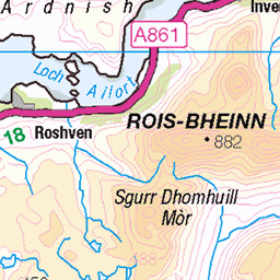
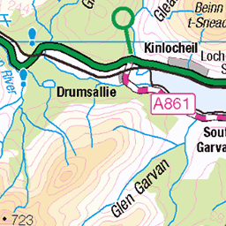
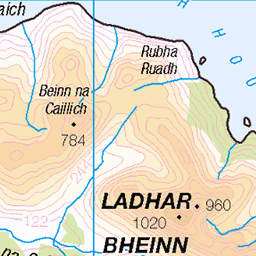
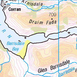
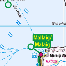
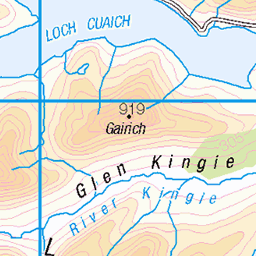
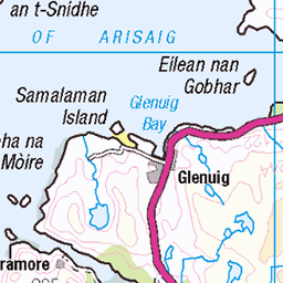
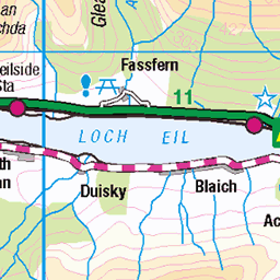
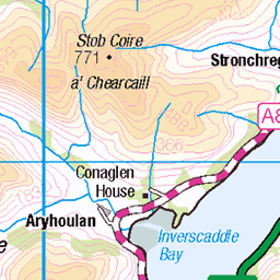
OS Map
This is OS mapping. In some areas, OpenStreetMap shows more footpaths
Spatial NI has online OSNI mapping. Click "Basemap Gallery" (4 squares icon at the top).
Now would be a good time for a cup of tea.


GPX Editor
Record map clicks
Reload map
Photos
Please tag your photos and upload them to the British and Irish Mountains group on Flickr
The other photos have been geo-tagged as on or around the summit. For less busy mountains, it can be a little hit and miss.
_MG_9108-2
13-Sep-08 • biggles621 • flickr
geotagged geo:lat=5692989855 geo:lon=556086330 2856904649
_MG_9110-2
13-Sep-08 • biggles621 • flickr
geotagged geo:lat=5693138300 geo:lon=556201300 2857733716
_MG_9120-2
13-Sep-08 • biggles621 • flickr
geotagged geo:lat=5694785138 geo:lon=556949103 2856905875
_MG_9120-2
13-Sep-08 • biggles621 • flickr
geotagged geo:lat=5694785138 geo:lon=556949103 2857748050
_MG_9126-2
13-Sep-08 • biggles621 • flickr
geotagged geo:lat=5695241022 geo:lon=557484137 2856920235
Videos
None found
Notes
- Data: Database of British and Irish Hills v18.2
- Maps: We use OS mapping for England, Scotland, Wales, and the Isle of Man. Sadly, Channel Islands, Northern (OSNI) and Southern Ireland (OSI) mapping isn't available online, so we use Openstreetmap.