Hills of Britain and Ireland
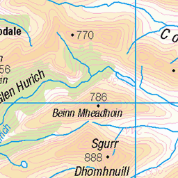
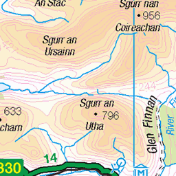
OS Map of Sgurr a' Mheadhain

Rois-Bheinn Viewpoint
The Incredible summit view west to Eigg, Rum and Skye from Rois-Bheinn.
31-Mar-24 • Russell-Davies • flickr
roisbheinn corbett ardnish clouds canon canonr6 highlands hiking landscape mountain mountains scotland summit uk westernisles innerhebrides isleofrum rum eigg isle0feigg isleofskye skye 54024151513

Rois Bheinn
Wall leading to summit of Rois Bheinn
15-May-13 • dougiebeck • flickr
wall moidart lochaber roisbheinn roshven scotland highlands 35803728013
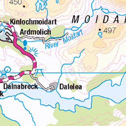
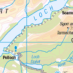
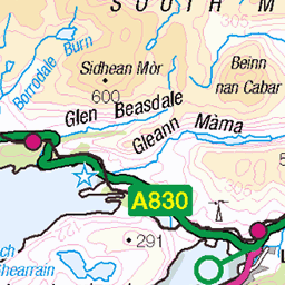
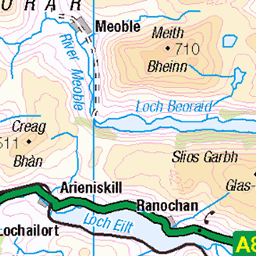
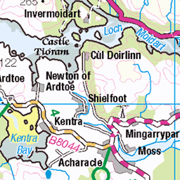
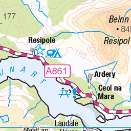
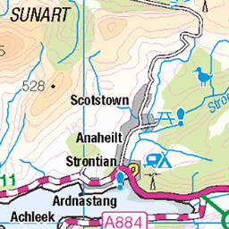
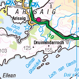
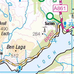
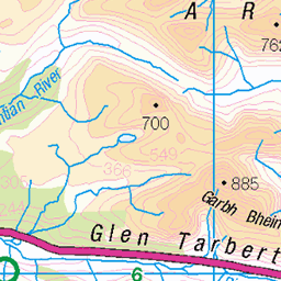
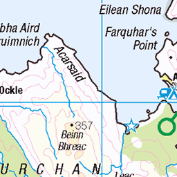
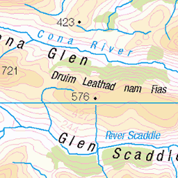
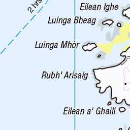
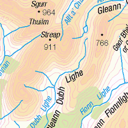
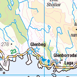
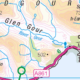
OS Map
This is OS mapping. In some areas, OpenStreetMap shows more footpaths
Spatial NI has online OSNI mapping. Click "Basemap Gallery" (4 squares icon at the top).
Now would be a good time for a cup of tea.
GPX Editor
Record map clicks
Reload map
Photos
Please tag your photos and upload them to the British and Irish Mountains group on Flickr
The other photos have been geo-tagged as on or around the summit. For less busy mountains, it can be a little hit and miss.
Rois-Bheinn Viewpoint
The Incredible summit view west to Eigg, Rum and Skye from Rois-Bheinn.
31-Mar-24 • Russell-Davies • flickr
roisbheinn corbett ardnish clouds canon canonr6 highlands hiking landscape mountain mountains scotland summit uk westernisles innerhebrides isleofrum rum eigg isle0feigg isleofskye skye 54024151513
Rois Bheinn
Wall leading to summit of Rois Bheinn
15-May-13 • dougiebeck • flickr
wall moidart lochaber roisbheinn roshven scotland highlands 35803728013
Videos
None found
Notes
- Data: Database of British and Irish Hills v18.2
- Maps: We use OS mapping for England, Scotland, Wales, and the Isle of Man. Sadly, Channel Islands, Northern (OSNI) and Southern Ireland (OSI) mapping isn't available online, so we use Openstreetmap.