Hills of Britain and Ireland
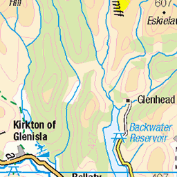
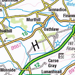
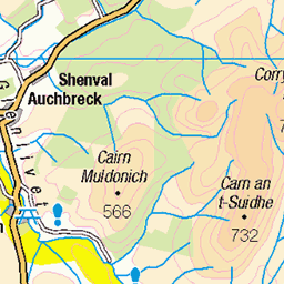
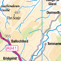
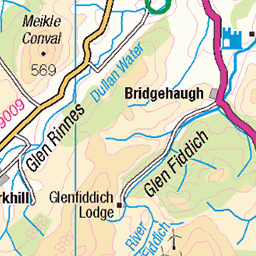
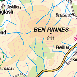
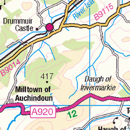
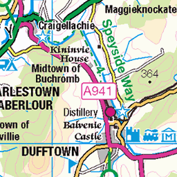
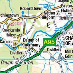
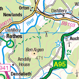
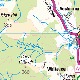
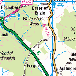
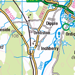
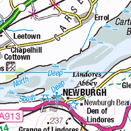
OS Map of Pannanich Hill


P1 River Dee from Cambus O' May bridge
The view east from the footbridge.
06-Dec-21 • Grahamtravels • flickr
51736021249
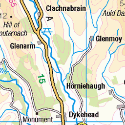
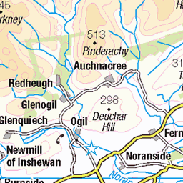
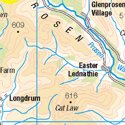
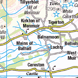
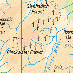
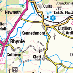
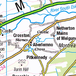
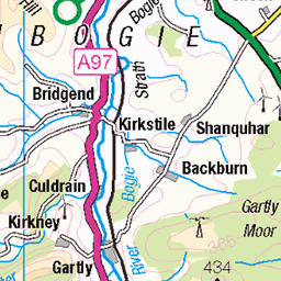
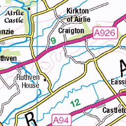
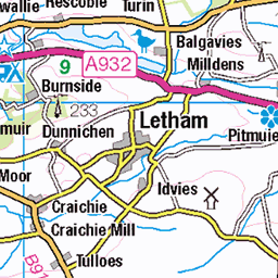
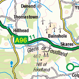
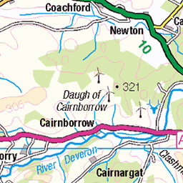
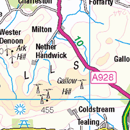
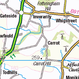
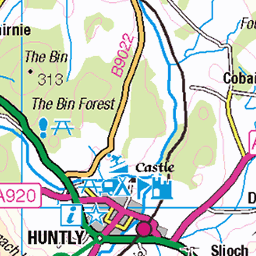
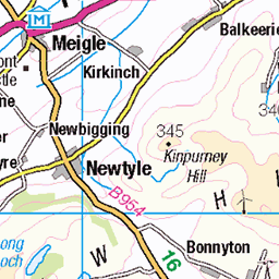
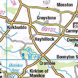
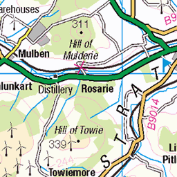
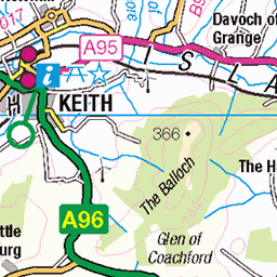
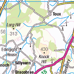
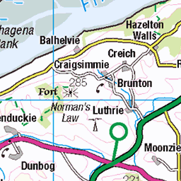
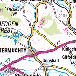
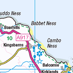
OS Map
This is OS mapping. In some areas, OpenStreetMap shows more footpaths
Spatial NI has online OSNI mapping. Click "Basemap Gallery" (4 squares icon at the top).
Now would be a good time for a cup of tea.


GPX Editor
Record map clicks
Reload map
Photos
Please tag your photos and upload them to the British and Irish Mountains group on Flickr
The other photos have been geo-tagged as on or around the summit. For less busy mountains, it can be a little hit and miss.
P1 River Dee from Cambus O' May bridge
The view east from the footbridge.
06-Dec-21 • Grahamtravels • flickr
51736021249

P4 Crannoch Hill across the Dee valley
The view to the hills on the north side of the River Dee.
06-Dec-21 • Grahamtravels • flickr
51735377486

P5 Black Moss lochan
The small body of water on the moorland moss.
06-Dec-21 • Grahamtravels • flickr
51734552102

P8 Big Stane o' Carn Beag
The boulder which has been perched here since the end of the ice age.
06-Dec-21 • Grahamtravels • flickr
51734551867

P9 Big Stane o' Carn Beag
Late afternoon sun in December lighting the boulder.
06-Dec-21 • Grahamtravels • flickr
51736020564
Videos
Pannanich Regional Event • Spoiler the video cuts out about 1hr 16min, but does capture all the falls before this. First regional in a ...
An MTB trail I'd wanted to ride for a few years now, and it didn't disappoint! Mountain bike heaven! The climb up is long but steady ...
Rated by MBR as one of the Top 5 UK trails, Heartbreak Ridge is a famous 4km black scenic MTB trail in Scotland located in ...
An MTB trail I'd wanted to ride for a few years now, and it didn't disappoint! Mountain bike heaven! The climb up is long but steady ...
Forest Walk from Ballater to Muir Bridge.
Notes
- Data: Database of British and Irish Hills v18.2
- Maps: We use OS mapping for England, Scotland, Wales, and the Isle of Man. Sadly, Channel Islands, Northern (OSNI) and Southern Ireland (OSI) mapping isn't available online, so we use Openstreetmap.